

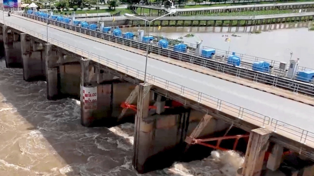
The Royal Irrigation Department is closely monitoring the Chao Phraya River basin as floodwaters from the upper regions continue to flow into the basin and are expected to increase further. Currently, there is no impact on downstream areas.
The Royal Irrigation Department's Smart Water Operation Center (SWOC) reported that close monitoring of the Chao Phraya River basin shows a continuous increase in floodwaters from the upper areas flowing into the basin.
As of 06:00 on 23 May 2026, at station C.2 in Mueang District, Nakhon Sawan Province, water flow was measured at 893 cubic meters per second, causing the water level above the Chao Phraya Dam to rise to +16.54 meters (mean sea level). The dam is releasing water at 300 cubic meters per second. To maintain proper water management, the water level above the dam is controlled not to exceed +16.60 meters (MSL). It is forecasted that flow through the dam will increase to approximately 500–700 cubic meters per second, depending on conditions upstream and current rainfall. This volume has not yet affected downstream areas.
The Royal Irrigation Department continues to monitor water conditions, weather, and manage water resources closely. It coordinates with relevant agencies to warn residents in low-lying areas along the Chao Phraya River to stay informed and prepare for possible situations, aiming to minimize impacts on the population.
For more information on the water situation, visithttps://www2.rid.go.th/th/main
