

A compilation of sources to check water levels, rainfall, and road conditions with mobile alerts, plus tools to assess flood risk by your location.
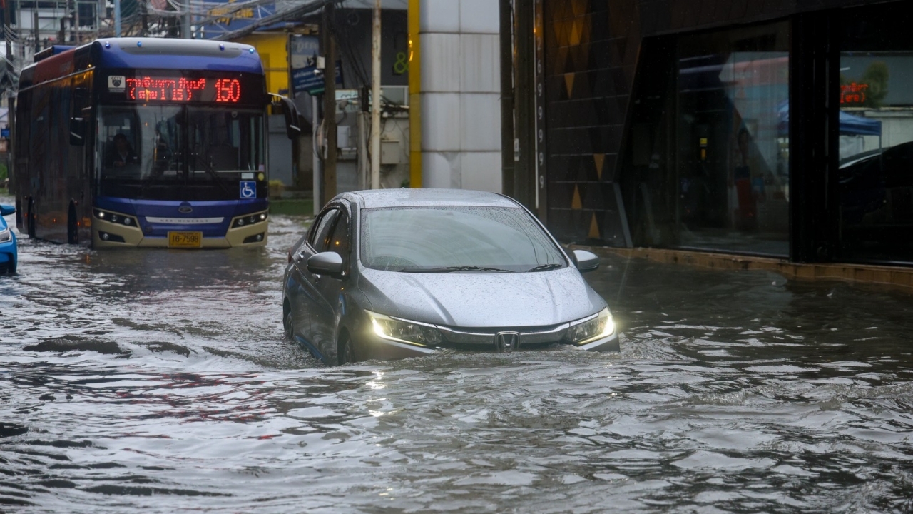
Heavy continuous rainfall for several days has caused flooding in many areas. Meanwhile, the National Water Resources Office (NWRO) issued its sixth announcement to monitor ponding, flash floods, and river overflows in 30 provinces including Bangkok from 26 to 30 September.
With rapidly changing conditions, knowing where to get information helps you make timely decisions about travel and preparation. Below are government channels and tools to track the situation promptly.
ThaiWater, the National Water Information Repository by the Hydro-Informatic Institute (Public Organization), consolidates data on rainfall, river water levels compared to critical thresholds, reservoir volumes and discharge, plus storm tracks on a single map. It helps estimate when water from upstream areas will reach downstream locations. The application features "My Area" to receive alerts for selected locations. Visit www.thaiwater.net and download the app atwww.thaiwater.net/mobile
The CheckWater application from the Geo-Informatics and Space Technology Development Agency (Public Organization), or GISTDA, uses satellite data combined with water level stations, weather stations, and CCTV cameras. By marking your location, you can see the risk level there. GISTDA states the system analyzes at a 1-square-kilometer resolution and predicts flood risk hourly. It assesses whether water will overflow riverbanks within the next 3 hours using station data and includes 18 years of historical flood records to check if your home or usual routes have flooded before. Available for iOS and Android by searching "CheckWater" or view provincial flood summaries at disaster.gistda.or.th on a computer.
Google Flood Hub is Google's AI-based river overflow forecasting system that predicts conditions up to 7 days ahead for major watersheds. Results are shown as pins colored by severity for easy reading, suitable for use alongside government data. Accessible at sites.research.google/floods.
DWR4THAI from the Department of Water Resources offers warnings for flash floods and landslides plus water situation reports. It's ideal for residents near mountains, foothills, or streams prone to flash floods. Available for iOS and Android.
The Meteorological Department's rain radar shows rain clusters and their movements in real time at weather.tmd.go.th or via the Thai Weather app. Weather inquiries and warnings can be made through hotline 1182.
Windy displays wind direction, rain clusters, and satellite images, useful for a broad view of approaching storms. Available at www.windy.com or the Windy app.
weather.bangkok.go.th, the Bangkok Drainage Department's website, provides accumulated rainfall by station, water levels in main canals, and Bangkok's rain radar. The page weather.bangkok.go.th/flood reports water levels from sensors on main roads over time, showing current values and trends whether water is rising or falling.
Bangkok Metropolitan Administration (BMA) CCTV cameras from the Traffic and Transport Department let you view live images from roads and intersections before traveling at cpudapp.bangkok.go.th/bmatraffic or via the BMA Traffic app.
Report waterlogged areas through Traffy Fondue on LINE @Traffyfondue, BMA hotline 1555, or the Flood Control Center at 0 2248 5115. Updates on flood points are also available on the Bangkok Flood Control Center’s Facebook page.
The Highway Department's HDMS system lets you check flood points and conditions on highways nationwide at hdms.doh.go.th/dashboard or by calling the 24-hour hotline 1586. For rural roads under the Department of Rural Roads, check conditions at scs.drr.go.th or hotline 1146.
Longdo Traffic provides real-time traffic conditions and incidents on roads attraffic.longdo.com
1784 Department of Disaster Prevention and Mitigation (DDPM) for emergency help, evacuation, and flood reports. Also available via LINE @1784DDPM, 24 hours.
1669 National Institute for Emergency Medicine (NIEM) for medical emergencies, 24 hours.
1555 Bangkok Metropolitan Administration hotline for reporting flooding within Bangkok.
1460 Royal Irrigation Department for water situation and reservoir discharges.
1182 Meteorological Department for weather conditions and warnings.
1586 Highway Department and 1146 Department of Rural Roads for road conditions and flood detours.
1129 Provincial Electricity Authority (PEA) for power outages in provinces.
1130 Metropolitan Electricity Authority (MEA) for power outages in Bangkok, Nonthaburi, and Samut Prakan.