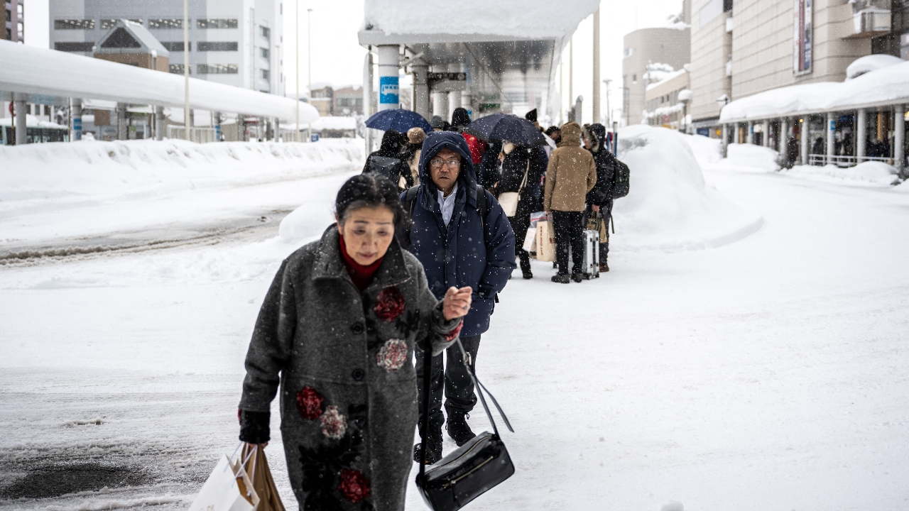
The Japan Meteorological Agency has warned the public to prepare for continuous heavy snowfall from Friday through Sunday, especially along the Sea of Japan coast stretching from the west to the north. Accumulated heavy snow is expected to disrupt travel and pose risks of avalanches, roof collapses, and power outages.
On 6 Feb 2026 GMT+7, the Japan Meteorological Agency issued a warning on Thursday urging residents to be extra cautious due to heavy snow expected to continue from Friday through Sunday. The heaviest snowfall is predicted on Sunday along the Sea of Japan coast, spanning a wide area from western to northern Japan.
Officials stated that northern Japan will face a snowstorm starting Friday, while the Sea of Japan coast will experience continuous and intensifying snowfall leading up to a peak on Sunday. Some areas may require special warnings, including places that typically see little snow, such as Kyushu Island and the Pacific coast from western to eastern Japan, where snow accumulation is also possible—an unusual situation.

Meteorologists noted that this fresh heavy snowfall could worsen already high snow accumulations in many western and northern regions of Japan. They warned residents to be alert for snowstorms, traffic congestion, avalanches, snow falling from roofs, and damage to houses and farmland.
Meanwhile, temperatures in many parts of Japan are higher than usual for this time of year, increasing the risk of snow sliding off roofs, falling icicles, and snow-related landslides. Temperatures in the Tohoku region, Niigata Prefecture, and Hokuriku area are expected to be near March levels.
The Japan Meteorological Agency forecasts that within the 24 hours until Saturday morning, Hokkaido Island will experience strong winds and high waves on Friday, with wind speeds possibly reaching 126 kilometers per hour both on land and at sea. Snow accumulation could reach up to 50 centimeters. During the peak period until Sunday morning, snow accumulation may increase even further.
Source: NHK