

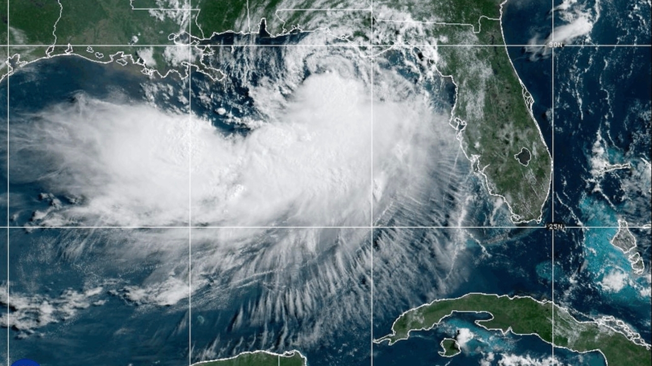
Tropical Storm "Bertha" is moving closer to the U.S. Gulf Coast. Meteorologists expect the storm to weaken before landfall but warn it may still produce strong gusty winds, coastal waves, and storm surge in Louisiana.
The U.S. National Weather Service office in Slidell, Louisiana, said the main factor weakening the storm is wind shear from the north, which disrupts rain cloud formation and weakens the storm's structure.
Meteorologists anticipate the storm will make landfall near St. Bernard Parish or Plaquemines Parish on Wednesday evening local time, then rapidly weaken after landfall.
Although the storm is weakening, officials continue to warn residents to watch for strong gusty winds of about 40-50 mph (64-80 km/h) and storm surge of approximately 0.6-1.2 meters along the coastline.
However, meteorologists state that the main threat from this storm is strong winds rather than flooding from heavy rain.
Currently, areas from the Florida Panhandle to Louisiana are under tropical storm warnings until Wednesday, while New Orleans is under a tropical storm watch.
Bertha is the second tropical storm of this Atlantic hurricane season, following Tropical Storm Arthur last month, which brought heavy rain to several parts of the southeastern United States.
Although the U.S. National Oceanic and Atmospheric Administration (NOAA) forecasts this hurricane season to be below average, it warns of the potential for severe storms and urges residents in vulnerable areas to prepare for possible storms throughout the season, which lasts until October.
. Source:AP
Click to read related news aboutInternational News