

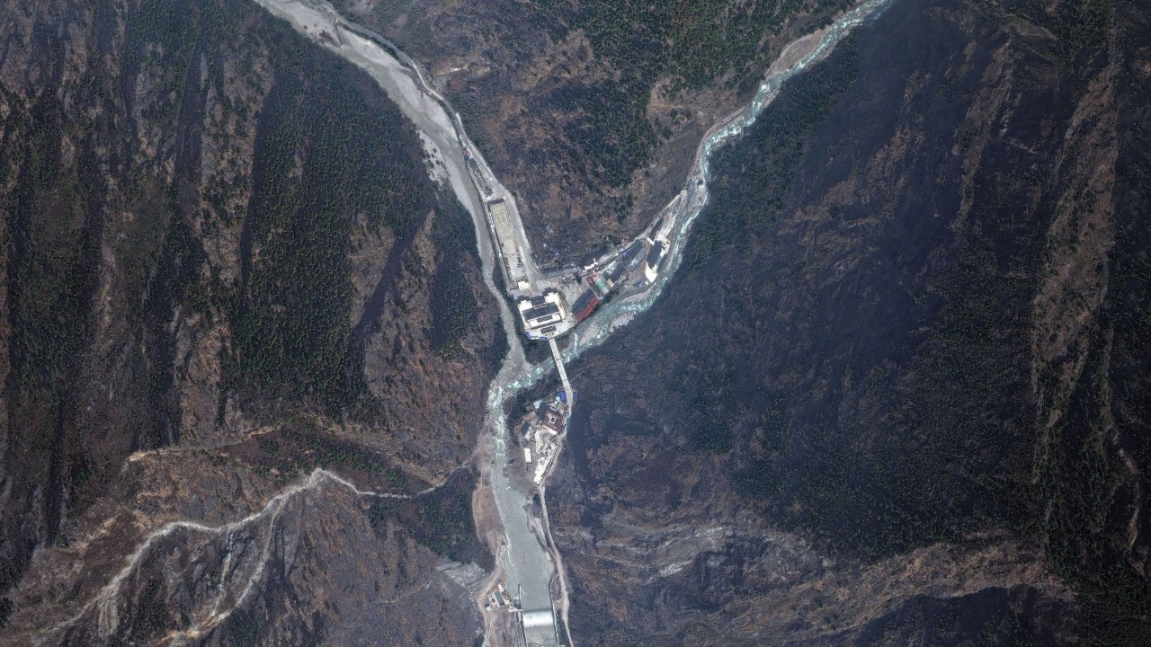
Experts from the University of Tokyo analyzed satellite images and found that the impact of landslides and floodwaters along the Nepal-China border has extended at least 80 kilometers downstream.
On 28 Aug 2026 GMT+7, experts from the University of Tokyo in Japan analyzed satellite images of the Nepal-China border following a major landslide and flood disaster that occurred last Wednesday. They found that the event's impact extended along the river for at least 80 kilometers from the landslide site.
Professor Watanabe Hidenori from the Graduate School of the University of Tokyo analyzed images around the site, located about 70 kilometers north of Kathmandu, Nepal's capital. He found that Tuesday's photos still showed glaciers and rocks on the mountainside, but Wednesday's images revealed extensive severe erosion and collapse of a large area of the slope.
The expert said the event likely resulted from simultaneous collapse of glaciers and rocks on the mountain, triggering a massive landslide and huge sediment flow downstream. About 7 kilometers from the landslide site on the Nepal side, large deposits of soil, rock, and sediment covered the valley. Previously tree-covered slopes turned brown, with the discolored area rising as much as 800 meters above the valley floor.
Satellite images also showed that about 60 kilometers from the landslide site, the river had widened to approximately 300 meters. Mud-laden floodwaters inundated riverside communities, and even 80 kilometers away, water levels remained elevated with flooding observed around several buildings.
Source: NHK