

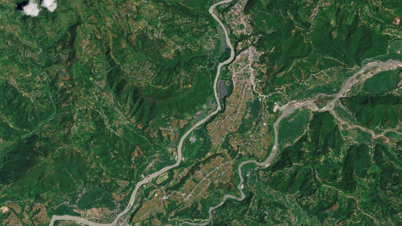
Chinese authorities stated that the risk of the earthen dam of a lake formed after a glacier collapse near the Nepal-Tibet border breaking and causing secondary disasters has decreased, following the continuous gradual outflow of water.
China's state broadcaster CCTV reported on Saturday, 29 Aug 2026, citing the Ministry of Water Resources that the danger signals from the glacier-collapse-formed lake near the China-Nepal border—where severe flooding struck earlier this week—"have begun to decline" as the lake's size appears to be shrinking.
Satellite images from Thursday through early Saturday show that the water mass in the lake, located astride the border between China's Tibet Autonomous Region and Nepal at the confluence of two rivers, is slowly flowing out, causing the lake's water volume to decrease continuously.
The Ministry of Water Resources reported that satellite images of the lake surface on the Purepu Tsangpo River show that by Saturday morning, the lake's area was about 99,000 square meters—equivalent to around 14 football fields arranged side by side—a reduction of 21,000 square meters compared to images from Thursday.
The glacier collapse on Wednesday released massive amounts of mud, rocks, ice, and debris flowing through the Himalayan river system, destroying the border checkpoint connecting Tibet and Nepal. The disaster has resulted in 682 confirmed deaths and nearly 3,000 missing persons.
Experts and officials have warned of a very high risk of secondary disasters in the valley area, particularly from lakes formed by glacier debris, which could endanger rescue operations in the lower areas.
Experts from the Ministry of Water Resources noted that search and rescue operations in the lower area can continue safely if the outflow of water remains low or manageable and the lake levels decrease completely within 2-3 days.
China Anneng, a state engineering and rescue company monitoring the lake since Thursday, has installed radar and deployed drones for 24-hour surveillance around the lake. In case of any abnormalities, rescue personnel will receive immediate evacuation alerts with at least 30 minutes' advance warning.
Meanwhile, authorities have also issued warnings about another larger water body located at the base of the collapsed glacier.
“We estimate its area to be over 120,000 square meters, but the exact depth is still unknown,” said Chen Hongqi, senior engineer at the Geological Disaster Technical Guidance Center, Ministry of Natural Resources.
Officials from Nepal's disaster management agency stated that flood risks will persist until water from both lakes is fully drained.
Follow international news:https://www.thairath.co.th/news/foreign
Source:cna