

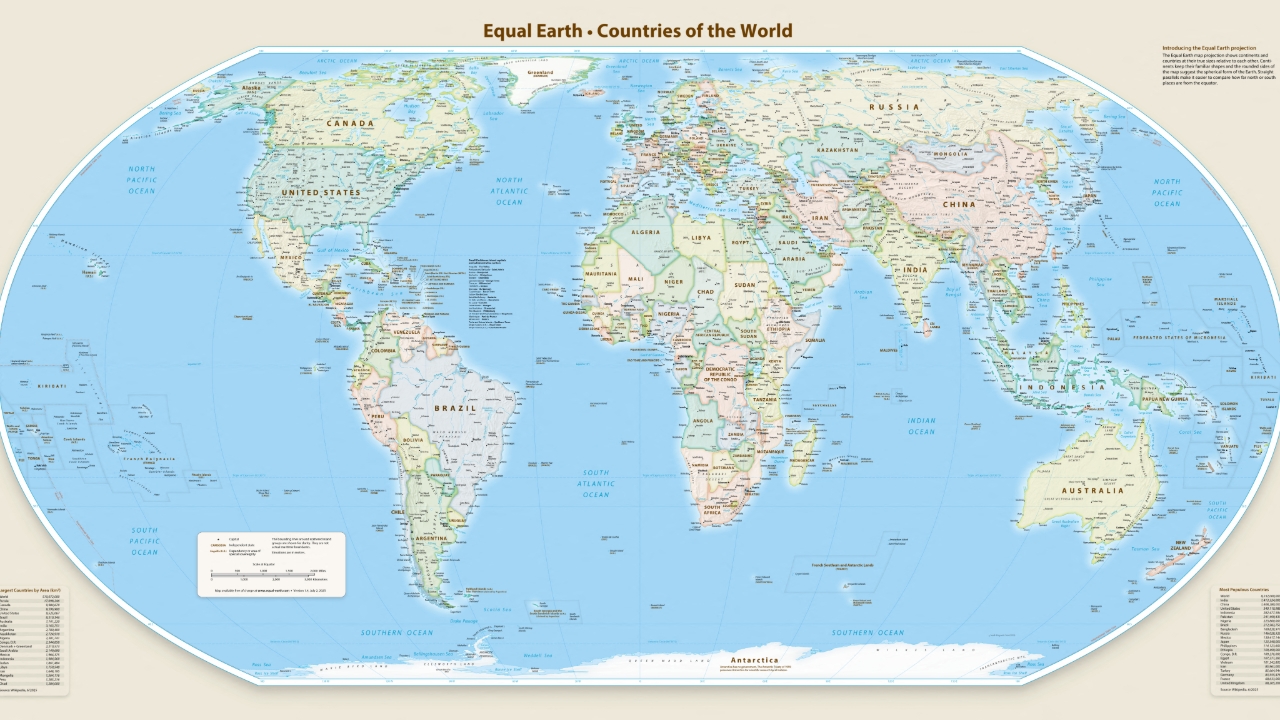
The UN General Assembly voted with 164 countries supporting a change to the world map to more accurately reflect Africa's true size, after the Mercator map was criticized for distorting the continent's scale.
On 4 Sep 2026 GMT+7, the UN General Assembly voted to support revising the world map to more precisely reflect Africa's true size, following a proposal from Togo and backed by African Union member states.
The report states that 164 countries, including France and the UK, supported the resolution, while the United States was the only country to oppose it, and six countries abstained. Although the resolution is not legally binding, it will lead to changes in maps used by institutions worldwide.
The Mercator map, widely used since the 16th century, has long been criticized for showing Africa as smaller than it really is, making it appear roughly the same size as Greenland, whereas Africa is actually about 14 times larger.
The Mercator map was designed by Gerardus Mercator, a Flemish cartographer, in 1569 to assist European explorers with navigation. However, projecting the spherical Earth onto a flat two-dimensional surface causes distortions, making areas near the equator appear smaller and those near the poles appear larger than they truly are.
Source: BBC