

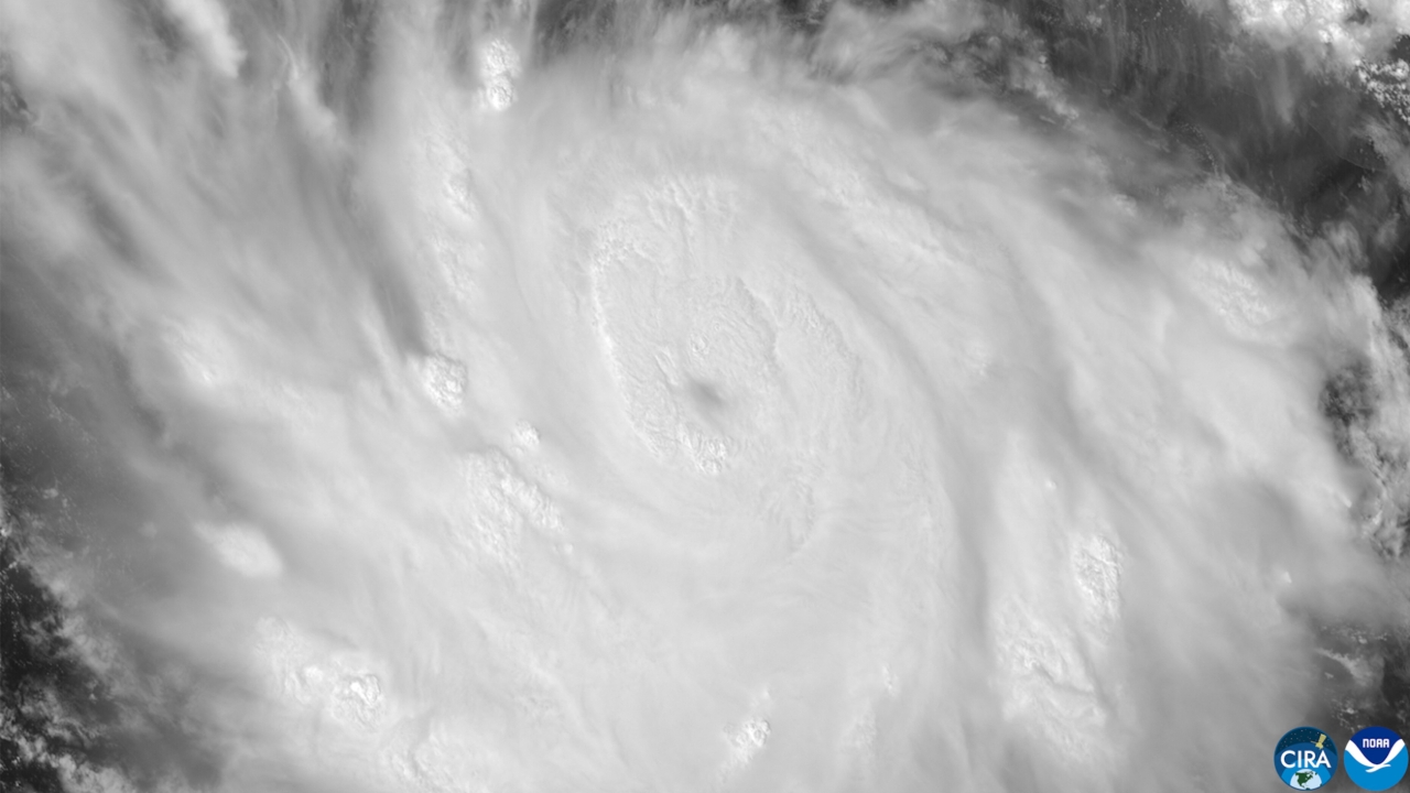
Hurricane "Polo" has rapidly intensified to Category 5 off Mexico's coast, with wind speeds reaching 257 km/h. Heavy rain is expected, posing risks of flooding and landslides.
On 23 September 2026 GMT+7, the U.S. National Hurricane Center reported that Hurricane "Polo" rapidly intensified to a Category 5 hurricane in the Pacific Ocean off Mexico's coast. Maximum sustained winds near the center reached 257 kilometers per hour, and the storm is expected to move slowly, parallel to Mexico's southwestern coastline while remaining offshore.
The U.S. National Hurricane Center also noted that this storm took less than 24 hours to strengthen from a tropical storm to a Category 5 hurricane, making it one of the fastest intensification rates ever recorded in the Eastern Pacific Ocean. Earlier that morning, wind speeds had risen to 241 kilometers per hour, nearing Category 5 strength before increasing to 257 kilometers per hour later.
Recently, Mexican authorities issued tropical storm watches along the southwestern coast, warning of heavy rainfall. Coastal areas of Guerrero and Michoacán states may receive between 100 to 200 millimeters of rain, with some spots possibly reaching 300 millimeters, risking life-threatening floods and landslides, especially in steep areas. Coastal regions of Oaxaca, Colima, and Jalisco may see rainfall between 75 to 150 millimeters.
Although Hurricane Polo's center is expected to remain over the ocean, the U.S. National Hurricane Center warned residents along Mexico's southwestern coast to closely monitor updates, as heavy rain could cause severe flooding and landslides.
Source: AFP