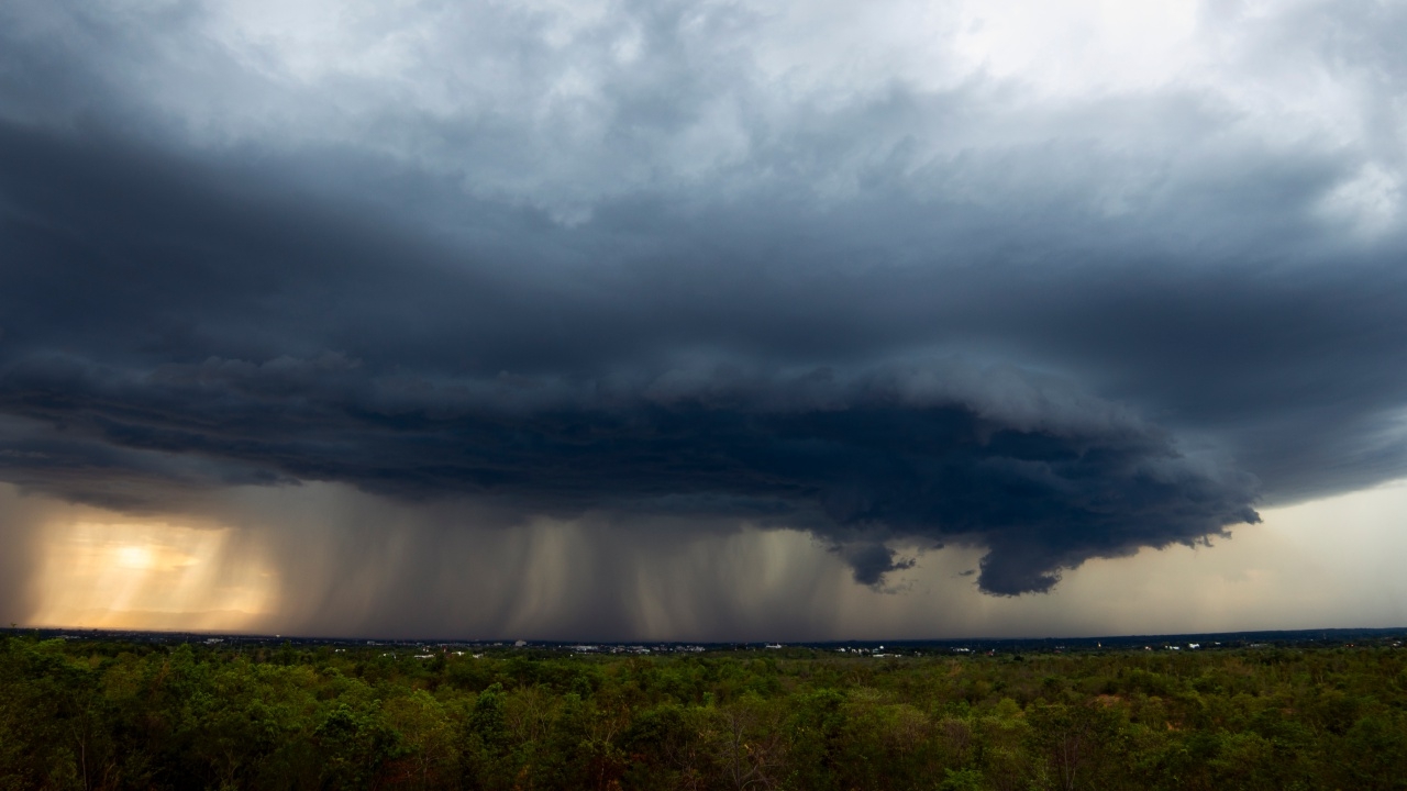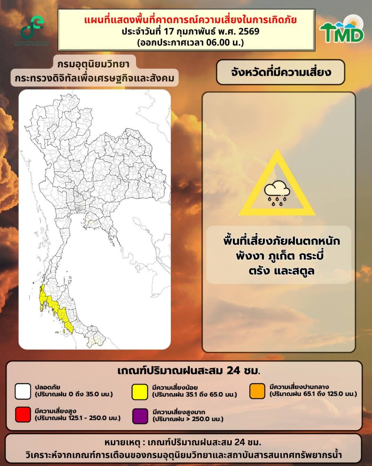
The Meteorological Department warns that from 17 to 21 February 2026, Thailand will experience increased rainfall. It advises the central, eastern, southern, and northern regions to prepare and to stay tuned for the forthcoming announcement marking the start of the 2026 summer season.
On 17 February 2026, the Facebook pageof the Meteorological Departmentrevealed that during 17-21 February 2026, rainfall will increase in Thailand. The central, eastern, and southern regions will see rain from 17-18 February, followed by the northern region experiencing rain from 18-21 February. The start of the summer season is approaching soon.
The 24-hour weather forecast states that the northern and northeastern regions will remain cool with morning fog. The eastern and central regions, including Bangkok and its vicinity, will experience scattered thunderstorms due to a weakening high-pressure system or cold air mass covering the north, northeast, and South China Sea.
This causes southeasterly winds to bring moisture from the Gulf of Thailand over the lower northeastern region, eastern region, and central region, including Bangkok and its vicinity. Residents in upper Thailand are advised to take care of their health due to changing weather conditions and to exercise caution when traveling through foggy areas.
The southern region will see increased rain and some thunderstorms because easterly and southeasterly winds cover the Gulf of Thailand and southern region. In the lower Gulf of Thailand, waves will be 1–2 meters high, and over areas with thunderstorms, waves may exceed 2 meters. Mariners in the Gulf of Thailand and Andaman Sea are urged to navigate cautiously and avoid traveling in areas with thunderstorms.
Currently, air pollution in upper Thailand is at a moderate level due to weak air ventilation, resulting in accumulation of dust or smog.

7-Day Weather Forecast
From 17 to 18 February 2026, a weakening high-pressure system or cold air mass will cover the northern, northeastern regions and South China Sea, causing easterly and southeasterly winds to bring moisture over upper Thailand. This will result in scattered thunderstorms in the central and eastern regions.
The southern region will see increased thunderstorms due to easterly and southeasterly winds covering the Gulf of Thailand, southern region, and Andaman Sea. Wave conditions in the Gulf of Thailand and Andaman Sea will be moderate, with waves 1-2 meters high in the lower Gulf of Thailand, and over areas with thunderstorms, waves will exceed 2 meters.
From 19 to 23 February 2026, a trough of southerly and southwesterly winds will cover the northern region, while easterly and southeasterly winds will continue bringing moisture over upper Thailand, increasing thunderstorms and strong gusty winds in some areas.
The southern region will see reduced rainfall but thunderstorms may still occur due to easterly and southeasterly winds covering the Gulf of Thailand, southern region, and Andaman Sea. Wave conditions will remain moderate, with waves about 2 meters high in the lower Gulf of Thailand and exceeding 2 meters over thunderstorm areas.
Precautions: People in upper Thailand are advised to take care of their health due to changing weather and to be cautious of dangers from thunderstorms and strong gusty winds. Farmers should prepare to protect their crops and livestock throughout this period.
Information provided by the Facebook page of the Meteorological Department.