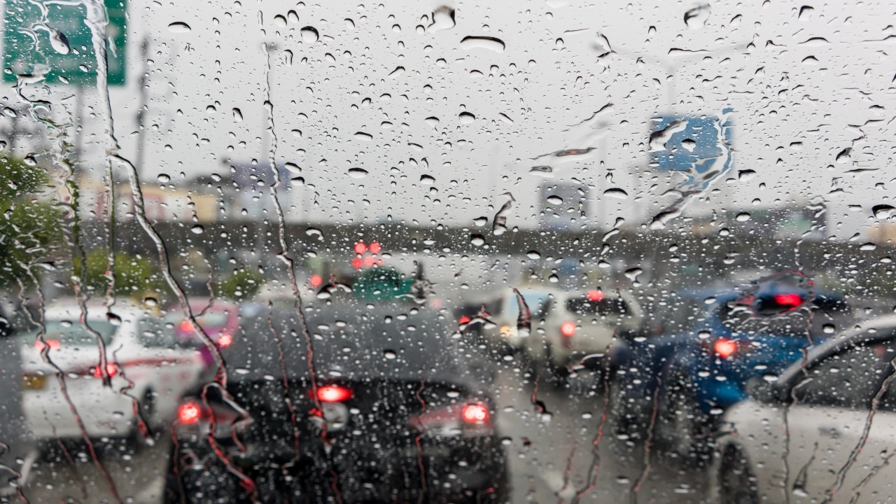
Today's weather: The Meteorological Department has released a list of provinces that still need to be monitored for the possibilityof "rainfall."Bangkok and its metropolitan area have a 20 percent chance of thunderstorms.
On 18 Feb 2026 GMT+7, the websiteof the Meteorological Departmentissued a 24-hour weather forecast stating that upper Thailand will experience scattered thunderstorms due to a high-pressure system or a moderate cold air mass from China covering the Northeast and the South China Sea.
This causes east and southeast winds to bring moisture from the Gulf of Thailand over upper Thailand. Residents in these areas are advised to take care of their health due to the changing weather and to be cautious of possible thunderstorms during this period.
For the South, there will be scattered thunderstorms caused by east and southeast winds covering the Gulf of Thailand, the southern region, and the Andaman Sea. The waves in the lower Gulf of Thailand and offshore Andaman Sea are moderate, with wave heights of 1–2 meters. In areas with thunderstorms, waves may exceed 2 meters. Fishermen in the Gulf of Thailand and Andaman Sea are advised to navigate cautiously and avoid sailing in areas with thunderstorms.
Currently, particulate matter or haze accumulation in upper Thailand ranges from moderate to fairly high levels but is expected to decrease in some areas due to improved air ventilation and the chance of rain in some locations.
From 06:00 today, 18 Feb 2026 GMT+7, until 06:00 tomorrow, 19 Feb 2026 GMT+7
Northern region
Northeastern region
Central region
Eastern region
Southern region (east coast)
Southern region (west coast)
Bangkok and surrounding areas
