

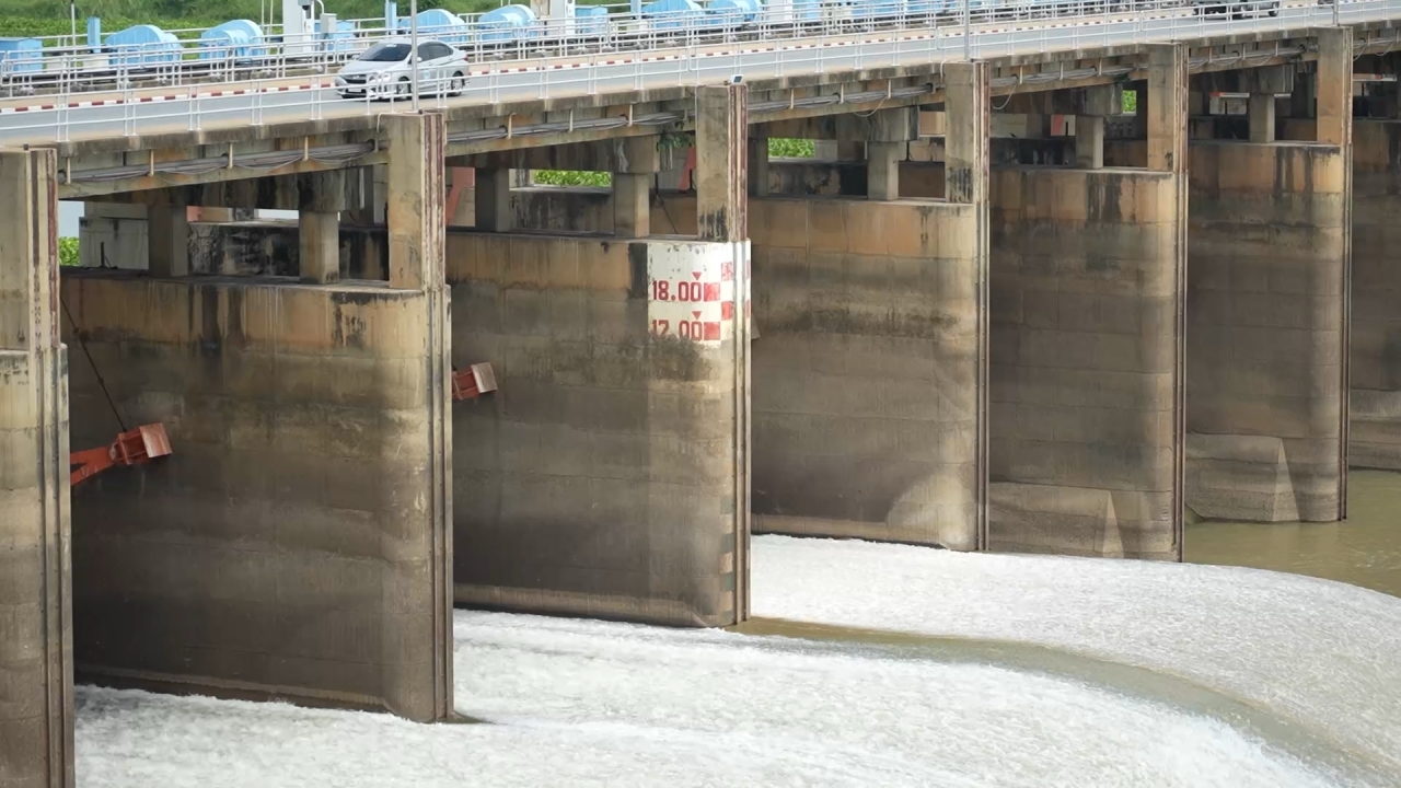
The Royal Irrigation Department has issued an urgent warning to seven provinces in the Chao Phraya River basin, forecasting water levels to rise over one meter following increased discharge from the Chao Phraya Dam.
On 24 May 2026 GMT+7, reporters learned that Mr. Songkran Chalosrithong, Director of the 12th Irrigation Office, issued the first water situation and management alert to the governors of seven provinces in the Chao Phraya basin: Uthai Thani, Chainat, Sing Buri, Ang Thong, Suphan Buri, Phra Nakhon Si Ayutthaya, and Lop Buri.
Due to recent heavy rainfall in many areas, there has been increased floodwater flow from the upper Chao Phraya basin into the area above the Chao Phraya Dam. Currently, at water monitoring station C.2 in Mueang District, Nakhon Sawan Province, the measured flow is 1,058 cubic meters per second. This inflow raises the water level upstream of the dam. The dam maintains water levels above it below +16.60 meters above mean sea level. It is projected that flow through the dam will increase to between 500 and 700 cubic meters per second, causing water levels along the riverbank from the dam's downstream area at Sanphaya District in Chainat Province to Ban Krathum and Hua Wiang subdistricts in Sena District, and Tha Din Daeng subdistrict in Phak Hai District, Phra Nakhon Si Ayutthaya Province, to rise approximately 1 to 1.5 meters. This rise remains within the riverbank limits.
The 12th Irrigation Office will control the water discharge through the Chao Phraya Dam within this range, managing water efficiently to avoid impacting agricultural lands. Should floodwaters increase such that flow exceeds 700 cubic meters per second through the dam, further notifications will be issued.

Currently, at station C.2 in Mueang District, Nakhon Sawan, flow is 1,058 cubic meters per second. At the Chao Phraya Dam in Sanphaya District, Chainat, water levels upstream are 16.56 meters above mean sea level, while downstream levels are 8.60 meters, leaving 7.74 meters of distance from the riverbank. The dam’s discharge rate is 500 cubic meters per second.
To prepare for the water situation, the 12th Irrigation Office advises related agencies, companies, and businesses operating on the Chao Phraya River—such as riverbank protection construction and riverside restaurants—as well as residents along both banks of the Chao Phraya and Noi Rivers, to closely monitor the situation and exercise caution.