"Meteorological Department" , Bulletin No. 8 "Tropical Storm Maysak" has strengthened into a severe tropical storm. It emphasized that it will not move into Thailand but will cause heavy to very heavy rain in some areas.
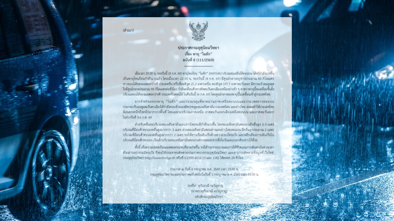
At 11:00 p.m. on 4 July 2026,the Meteorological Departmentissued a statement on "Storm Maysak" Bulletin No. 8 said that at 8:00 p.m. today, Tropical Storm Maysak (MAYSAK) over the upper South China Sea had intensified into a severe tropical storm. By 10:00 p.m. today, its center was located about 45 kilometers south of Guangxi Province, China, at latitude 21.2°N and longitude 107.7°E. Maximum sustained winds near the center were about 93 kilometers per hour, moving slowly northwest. It is expected to make landfall in southern Guangxi Province, southern China, tonight. The storm center will not move into Thailand.
Due to the influence of Storm Maysak and a monsoon trough over the upper northern region and northern Laos, combined with a fairly strong southwest monsoon covering the Andaman Sea, Thailand, and the Gulf of Thailand, heavy to very heavy rain is expected in parts of Thailand, especially in the northern, upper northeastern, and eastern regions during 5-6 July 2026.
Winds and waves in the Andaman Sea and Gulf of Thailand will strengthen. The upper Andaman Sea will have waves 2-3 meters high, exceeding 3 meters in thunderstorm areas. The lower Andaman Sea and upper Gulf of Thailand will have waves about 2 meters high, exceeding 2 meters in thunderstorm areas. Fishermen are advised to navigate cautiously and avoid areas with thunderstorms. Small boats in the upper Andaman Sea should refrain from going out to sea during these times.
For safety and to minimize potential impacts, the public is advised to plan their activities and travel carefully during this period. They should follow updates from the Meteorological Department via their website http://www.tmd.go.th or by calling 0-2399-4012-13 and 1182, available 24 hours.
5 July 2026

6 July 2026
