

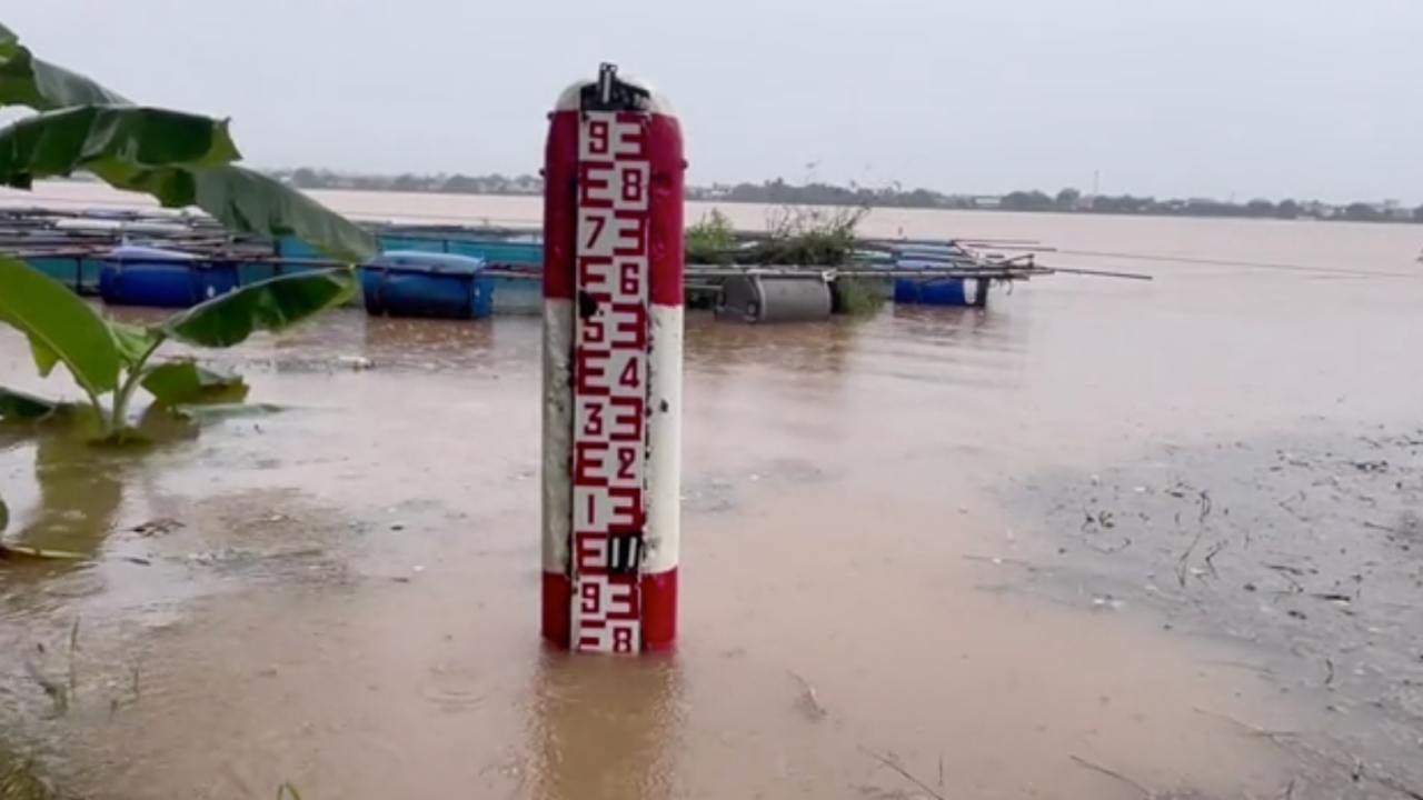
The Mekong River water level in Mukdahan is continuously rising, now just 0.50 meters below the critical point before it begins flooding riverside homes.
At 12:00 on 12 August 2026, reporters observed the Mekong River level at Hydrological Survey Center 3 in Mukdahan at 12.00 meters, close to the critical 12.50 meters that would cause the river to flood homes along the Mekong riverbank in Mukdahan Province, covering three districts: Mueang Mukdahan, Wan Yai, and Don Tan.

The water situation in Mukdahan shows the Mekong River level steadily increasing. The concern is ongoing heavy rain in the northern upstream areas—Nong Khai, Bueng Kan, and Nakhon Phanom—causing increased water flow downstream into Mukdahan, the lower catchment area. This has also led to riverbank erosion and damage, especially near the riverbank at the bridge over Huai Bang Sai, the mouth of the tributary flowing into the Mekong.
Relevant agencies have inspected risk areas near tributary communities of the Mekong, focusing on the highest-risk spots at Soi Sanitwong, the Ruamphat Srimongkol community (Ha Yaek community). Water from the Muk Creek has overflowed its banks, reaching the last houses in the alley, with water levels rising about 20 centimeters there.
Meanwhile, the Mukdahan Municipality's prevention unit has already placed sandbags to block the water. Plans include installing water pumps at the mouth of Khlong Yotha, a drainage gate to Huai Khaeng. The gate will be closed, and water pumped over it to discharge water coming from Khlong Hin Ang behind Mukdahan Grand Hotel and from Khlong Rong Po, which collects water near Krung Thai Bank, to drain into Huai Khaeng and then into the Mekong at the back of Anurak Bamrung community.

Similarly, the Indochina Market is only 0.50 meters away from the point where water will start to flow in. Over 2,000 sandbags have been placed since this morning to hold back the water.