

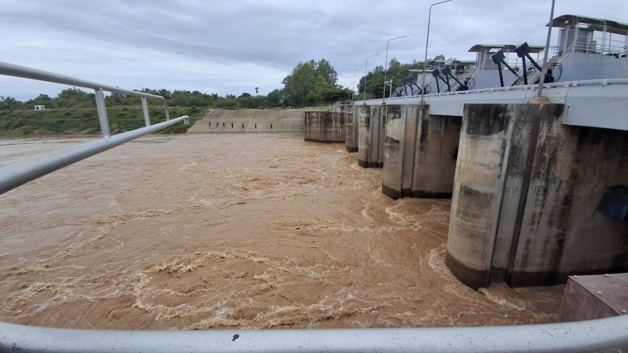
In Sukhothai province, the water level of the Yom River at the Ban Hat Saphan Chan weir gate has decreased.
At 07:00 on 13 Aug 2026 GMT+7, reporters reported that water flowing from Phrae province into the Yom River at the front of Ban Hat Saphan Chan weir gate, Village No. 9, Nai Mueang Subdistrict, Sawankhalok District, Sukhothai province, measured at 06:00 showed a front water level of 62.47 meters above sea level, a rear water level of 56.66 meters above sea level, and a depth of 10.16 meters. Water discharge was 340 cubic meters per second. The capacity was 15.796 million cubic meters, which is 103.24% of the storage capacity. The front water level decreased from the previous day, 12 Aug, when the depth was 10.97 meters.
Today, the depth measured 10.16 meters, resulting in a decrease in the volume of water in the Yom River downstream of the Ban Hat Saphan Chan weir gate, flowing through Sawankhalok, Si Samrong, and Mueang districts as well.