

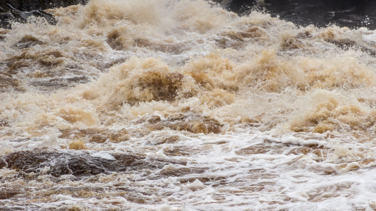
The National Water Resources Office (NWRO) has announced monitoring areas for waterlogging, flash floods, and river overflows, listing provinces at risk to prepare for the period from 29 August to 2 September 2026.
On 28 August 2026, the Facebook page ofthe National Water Resources Office (NWRO)reported weather forecasts indicating a strong low-pressure area over northern Vietnam's coast and the Gulf of Tonkin, combined with a fairly strong southwest monsoon covering the Andaman Sea, Thailand, and the Gulf of Thailand. This will increase rainfall and cause heavy to very heavy rain in some areas, especially in upper northern, upper northeastern, and eastern regions.
The NWRO assessed and analyzed water situations based on rainfall forecasts from the Meteorological Department and the Hydroinformatics Institute (Public Organization), along with flood-prone and landslide risk area forecasts in headwater zones from the Department of Water Resources and the Department of Mineral Resources. They identified areas requiring monitoring from 29 August to 2 September 2026 as follows.
1. Areas at risk of waterlogging, flash floods, forest runoff, and landslides.
1.1 Northern Region
1.2 Northeastern Region
1.3 Western Region
1.4 Eastern Region
2. Monitor sudden water level rises, river overflows, and waterlogging in low-lying areas along main rivers and tributaries: Yuam River in Mae Hong Son; Kok River in Chiang Rai; Nan River in Nan; Moei River in Tak; Yom River in Phrae, Sukhothai, and Phichit; Kwae Noi River and Fia Stream in Phitsanulok; and Yang Stream in Roi Et.
To prepare for these situations, related agencies are requested to take the following actions:
1. Continuously monitor weather and water conditions, especially where accumulated rainfall exceeds 90 millimeters within 24 hours and at locations with frequent flooding history.
2. Inspect, repair, and maintain riverbank embankments; promptly remove waterway obstructions; and plan suitable water management. Adjust management of large, medium, and small reservoirs, river flows, spillways, and sluice gates in coordination from upstream to downstream, considering tidal influences by accelerating drainage and water release in anticipation of heavy rainfall.
3. Prepare flood response plans, ready personnel and machinery, clear waterway blockages, dredge drainage pipes, and coordinate preparedness to provide immediate assistance.
4. Publicize water situation updates and issue advance warnings so residents expected to be affected can prepare for timely evacuation if emergencies occur.
