

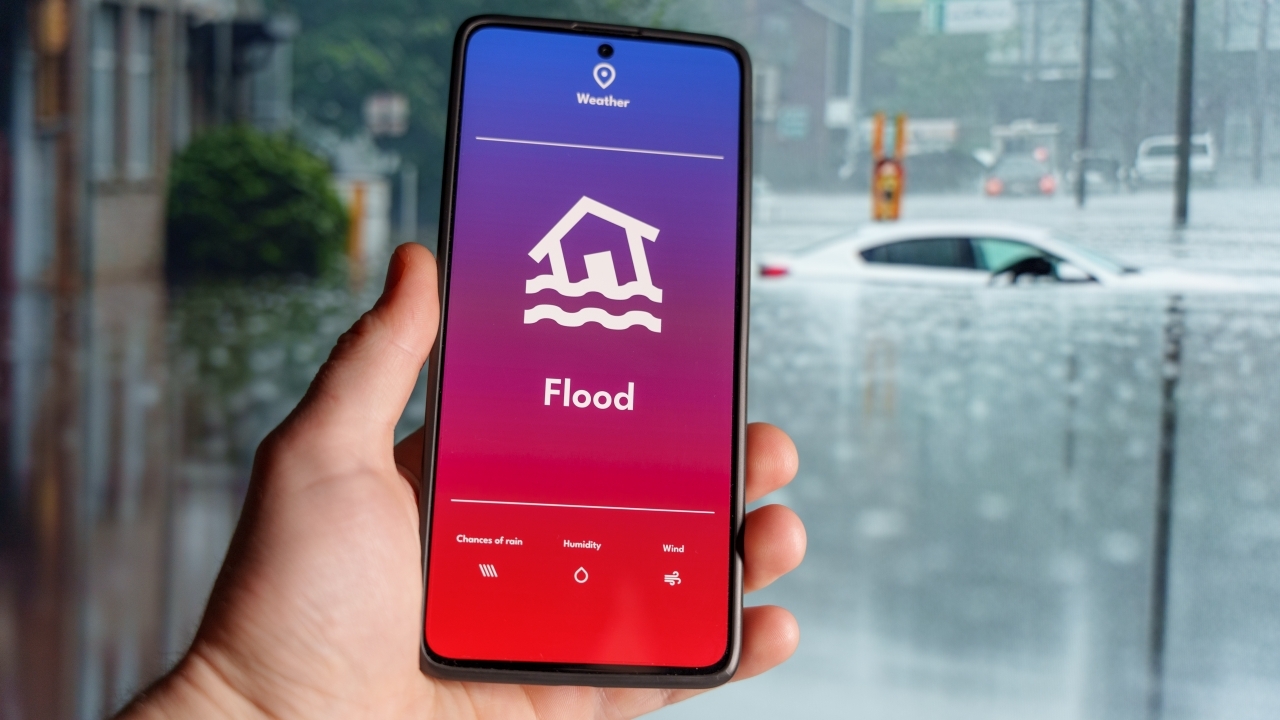
A compilation of channels to monitor flood situations, dam water levels, and rainfall websites from various agencies following floods in Bangkok, its vicinity, and several provinces across Thailand.
On 26 September 2026, due to flooding affecting Bangkok, its vicinity, and many provinces nationwide, government and private agencies have integrated information technology systems to provide channels for the public to monitor water situations, assess risk, and check traffic routes. Key channels include the following.
Used to view dam water volumes and discharge rates at key stations to estimate when water will reach downstream areas.
2. CCTV and Flood Location Reports from the Department of Highways
https://hdms.doh.go.th/dashboardorhttps://traffic.longdo.comFor Bangkok, check CCTV before traveling athttps://cpudapp.bangkok.go.th/bmatraffic
3. Check Water App (GISTDA) or the Windy app orhttps://www.windy.comto monitor rainfall.
4. Meteorological Department Rain Radar
https://weather.tmd.go.th(or the Thai Weather app)
Provides multi-day advance forecasts of riverbank overflows suitable for general public use.
For Bangkok residents, additional information is available here.
6. Rainfall Measurement Systemhttps://weather.bangkok.go.th/rain
7. Road Flooding Measurement Systemhttps://weather.bangkok.go.th/flood
8. Canal Flow Ratehttps://weather.bangkok.go.th/KlongMap