

The Meteorological Department confirms its forecasting tools are ready and reports are accurate. Flood warnings depend on local areas analyzing the data further, but the department is prepared to improve communication to be easier to understand and faster.
On 27 Sep 2026 GMT+7, Mr. Surapong Sarapa, Director of the Weather Forecasting Division at the Meteorological Department, told Thairath Noon News that after public questions about the department’s formal language in weather alerts, adjustments are possible. He explained that official warnings involve coordination with multiple agencies and are shared via social media channels. The department also breaks down data into other formats like infographics, but people tend to focus on the official primary news. He added that creating sensational news without factual basis is difficult, akin to baseless rumors.
He noted that related agencies such as the Royal Irrigation Department and local authorities need specific data formats, while the public receives information through social media which might not satisfy everyone like pages providing brief 2-3 line updates. This is an area for improvement, considering how to make information more engaging or dramatic within limits.
When asked why some simplified visuals remain hard to understand, Mr. Surapong said rainfall amounts can be predicted accurately for each area. However, flood area assessments are handled by agencies that receive this data to issue further warnings. The department’s role is limited to forecasting rain and initial alerts, especially for low-lying or waterway-adjacent areas. Partner agencies such as the National Water Command Center, Royal Irrigation Department, and DPMA must improve the speed and clarity of their alerts, specifying risk levels and recommended actions. He acknowledged public criticism about flood severity predictions and evacuation notices, clarifying that the Meteorological Department forecasts weather, while water management is under the National Water Resources Office, and evacuation alerts are issued by DPMA using local data. Besides forecasting, the department provides data to relevant agencies.
Regarding future collaboration with government agencies and social media pages to unify information dissemination, Mr. Surapong said that the Meteorological Department’s data is open. Followers can see radar, satellite, and warning information openly. However, synthesized information from government units requires learning how to collaborate to produce unified messages that the public can easily understand.
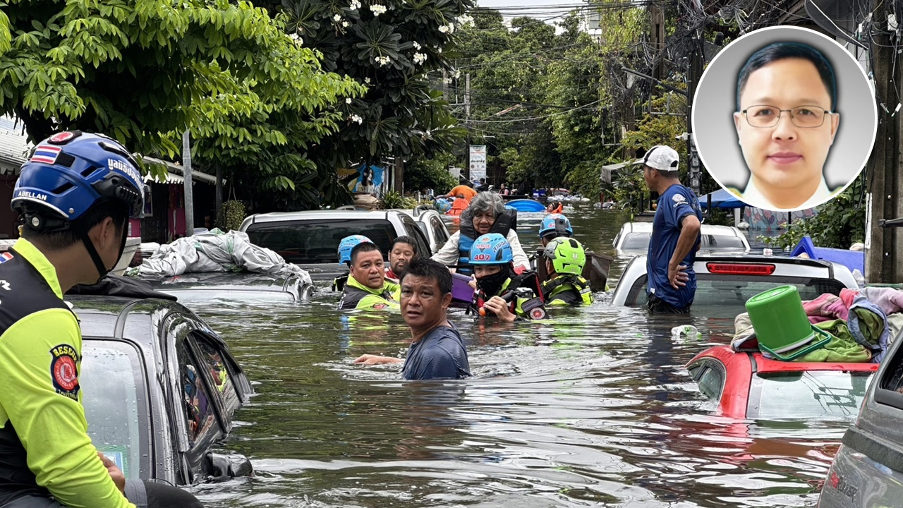
Asked about the recent severe flooding in Bangkok, with many saying it was unprecedented in decades, Mr. Surapong said the department forecasted heavy rain across all areas, peaking on 25 Sep, with red alert zones consistent between the department and social media pages. However, warnings and severity assessments are local responsibilities. Because this flood involved surrounding areas like Samut Prakan, Nonthaburi, and Pathum Thani, covering a wide region, situational assessment is difficult. If additional data is received, the department can assist with warnings via its channels, as it monitors and alerts 24 hours a day.
When asked if radar and weather maps still operate with 100% accuracy, Mr. Surapong said their equipment covers nearly all areas, and if one radar is down, others nearby compensate. They also use satellite technology and have staff monitoring 24/7. They have improved communication so that data from these tools reaches the public in an understandable way and can provide preliminary assessments. The digital data is also sent to other agencies for analysis. He urged trust in the current tools, noting that since the event began, the weather radars have never stopped working.