

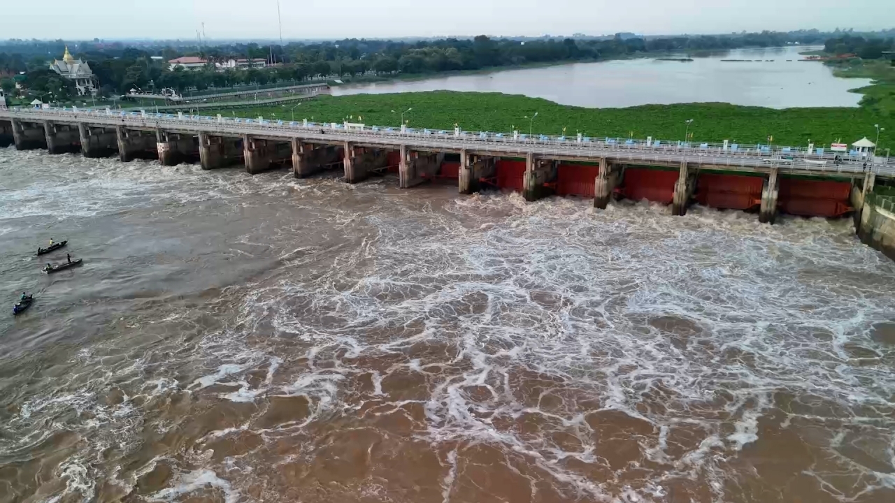
The Department of Disaster Prevention and Mitigation (DDPM) has issued a warning that the Chao Phraya Dam will increase water discharge to 2,000 cubic meters per second at 12:00 GMT+7 today. This affects riverside areas in Pa Mok, Wiset Chai Chan, Mueang Ang Thong, and Chaiyo districts of Ang Thong Province. Residents in low-lying areas outside flood barriers are advised to move their belongings to higher ground.
On 28 September 2026, the DDPM announced that today the Chao Phraya Dam will increase water discharge to 2,000 cubic meters per second, causing the Chao Phraya River level to rise by an additional 1.3 to 1.8 meters. This rise will impact riverside, canal, and areas outside flood barriers in Pa Mok, Wiset Chai Chan, Mueang Ang Thong, and Chaiyo districts. Residents living in low-lying areas outside the flood barriers are urged to elevate their belongings, relocate vehicles, care for vulnerable groups, and contact local leaders if they need assistance.
The DDPM has coordinated with mobile network providers AIS, True, and NT to send alerts via Cell Broadcast, warning of the increased water discharge at the Chao Phraya Dam affecting riverside areas in Pa Mok, Wiset Chai Chan, Mueang Ang Thong, and Chaiyo districts of Ang Thong Province.
People can report incidents and request help through the DDPM's Line account “ปภ.รับแจ้งเหตุ 1784” by adding the Line ID @1784DDPM or by calling the 24-hour emergency hotline 1784.

News reports indicate that Ang Thong Province has already been affected by river overflow flooding homes in four districts: Mueang, Pa Mok, Wiset Chai Chan, and Chaiyo.
Meanwhile, the Chao Phraya River continues to rise steadily. The latest reading at hydrological station C7A in front of Ang Thong City Hall shows a water level of 7.92 meters, close to the critical point of 8 meters. The riverbank, protected by flood barriers, stands at 10 meters, with a flow volume of 2,003 cubic meters per second.