

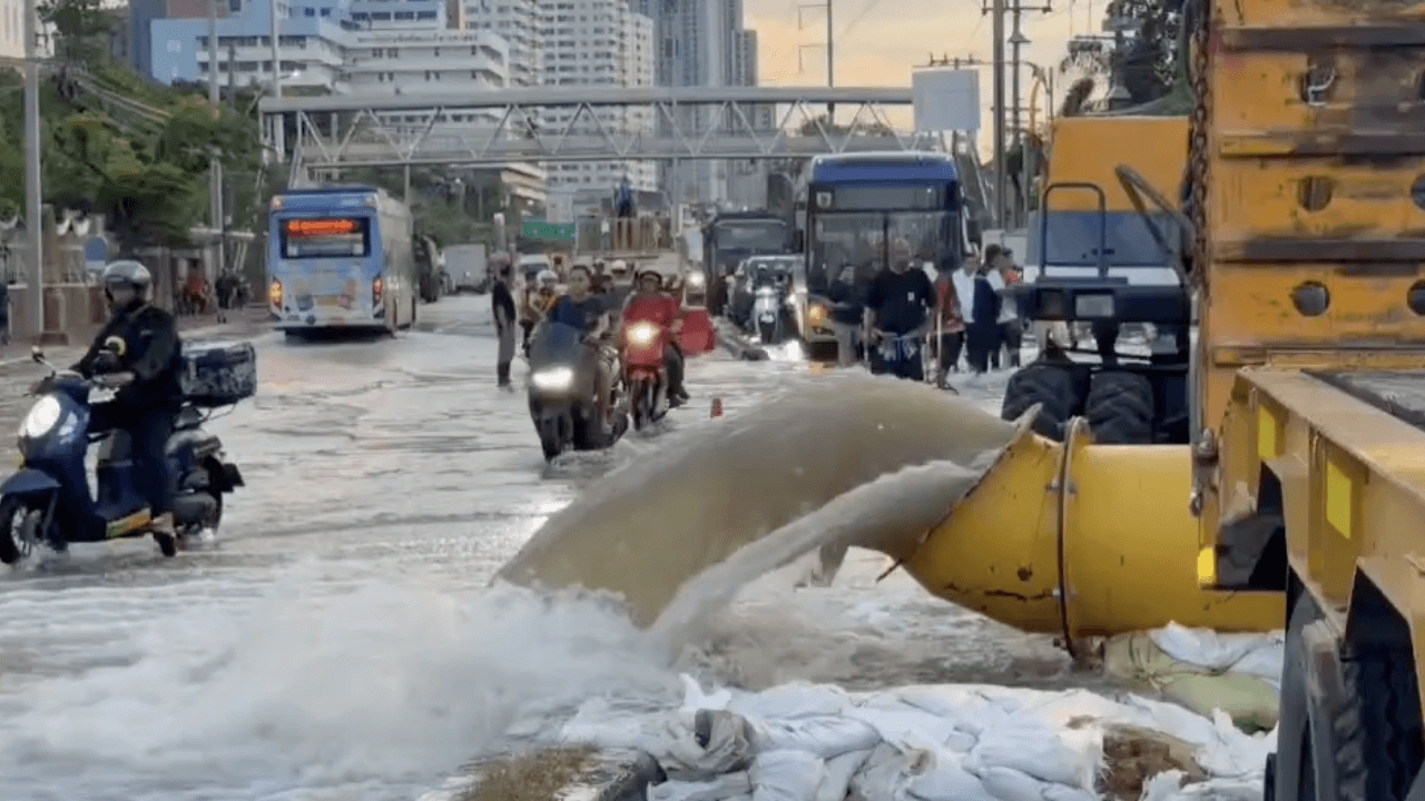
Update on the situation "Bangkok Flooding" Today, 1 Oct 2026, latest check on which roads are dry or still heavily flooded, where vehicles cannot yet pass through.
On 1 October 2026, the Facebook pageBangkok Flood Prevention Centerposted a report on the flooding situation in Bangkok stating that
Update on additional dry roads as of 1 Oct 2026 at 7:00 AM.
Flooded points on main roads in Bangkok as of 1 Oct 2026 at 7:00 AM.
At the border of Bangkok in front of Thupatemi Stadium to Phahonyothin 60, water levels are 15-20 cm.
From Ram Inthra Road to Prayasuren Road, water is 5-15 cm deep, passable.
At the junction with Panya Inthra Road, water is 5-15 cm deep, passable.
Soi 1-7 flooded 5-10 cm.
Min Phatthana Intersection flooded 5-10 cm.
From Mueang Min Intersection to Hathairat Intersection, water is 10-15 cm deep, passable.
From Hathairat Intersection to Nimit Mai Intersection (Wat Saen Suk Intersection), the entire surface is flooded 20-30 cm.
From Nimit Mai Intersection to Rat Uthit Intersection, water is 20-30 cm deep.
From Mueang Min Intersection to in front of Min Buri District Office, water is 10-15 cm deep, passable.
From Soi 9 to 25 flooded 20-30 cm.
From Soi 37 to 55 flooded 20-30 cm; small vehicles should avoid.
At Chao Khun Thahan Intersection to Lat Krabang Road, water is 20 cm deep.
At the Technology Railway Intersection, water is 20-30 cm deep; small vehicles should avoid.
From Chalong Krung Soi 31 to 43 flooded 5-10 cm.
From in front of Pho Phiang Market 2 Intersection to Khum Klao Intersection, water is 10-20 cm deep.
In front of Lotus Lat Krabang, water is 40 cm deep; traffic is suspended.
Wat Phol Mani Intersection flooded 30 cm; small vehicles should avoid.
Wat Ratchakosa Intersection flooded 30-40 cm; small vehicles should avoid.
At King Kaew Intersection, water is 0–5 cm deep.
- Lat Krabang-Rom Klao to Khlong Hua Takhue 20–30 cm.
- Khlong Hua Takhue to Royal Golf 20–30 cm.
- Suvarnabhumi Airport Intersection (Suksaman) water level about 20-30 cm.
- From Sai Mai Soi 15 to Khlong Lam Mo Taek (5–10 cm).
- From Sai Mai Soi 64 to Soi 66 (5–10 cm).
- From in front of Sai Mai Avenue to Wong Sakorn Market (15-20 cm).
Roads, alleys, or communities that still have issues can report coordinates, district, and water levels for further assistance.
Thanks for the information from the Facebook page of the Bangkok Flood Prevention Center.