

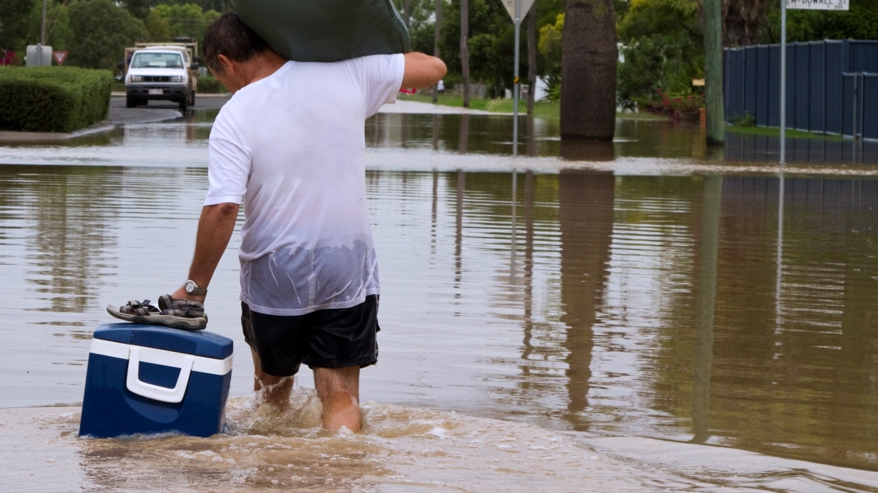
The Department of Disaster Prevention and Mitigation (DDPM) has coordinated with six central provinces and Bangkok to closely monitor the "high tide" situation in the Chao Phraya River and nearby areas from 9 to 17 November 2026. This may cause water levels in rivers and canals to rise and flood vulnerable community areas.
On 7 November 2026, Mr. Nirat Pongsitthawon, Director-General of the DDPM, stated that the department, acting as the Central Disaster Prevention and Mitigation Command (CDPMC), is monitoring water situations and risk factors. Additionally, the Hydrographic Department of the Navy issued Announcement No. 15/2569 on 5 November 2026 regarding water levels at Phra Chulachomklao Fort and nearby areas from 9 to 17 November 2026. It noted that from 9 to 16 November, between 07:30 and 13:30, high tide levels are expected near the Navy Command and surrounding areas, with water levels around 1.70–2.00 meters above mean sea level, close to the critical water level of 2.00 meters. This may cause water to flow through gaps in dams, piers, and drainage pipes.
Furthermore, from 9 to 17 November, between 06:00 and 12:00, water levels at Phra Chulachomklao Fort and nearby areas are expected to reach 1.80–1.90 meters above mean sea level, exceeding the critical level of 1.70 meters. This could result in riverbank overflow and rising water levels in rivers and canals, flooding low-lying areas along rivers and canals, including communities outside flood barriers and areas without permanent flood defenses. The following areas are under close watch:
Areas under watch for high tide, rising river/canal water levels, and riverbank overflow from 9 to 17 November 2026.
Six central provinces include:
* Bangkok is monitoring areas along the Chao Phraya River and canals, especially low-lying zones, communities outside flood barriers, and places lacking permanent flood defenses.
The Central Disaster Prevention and Mitigation Command has coordinated with the six provinces and Bangkok to prepare for the high tide situation that may cause riverbank overflow and flooding along rivers and canals. They are closely monitoring water levels and high tides, informing residents in vulnerable areas in advance, and alerting relevant agencies and private operators along rivers and canals—such as flood barrier construction projects, restaurants, and other businesses—to prepare for potential impacts. They are also vigilantly watching low-lying riverside and canal areas, communities outside flood barriers, and regions without permanent flood defenses.
The public is advised to closely follow official water condition updates, especially those living along the Chao Phraya River, canals, and low-lying areas. They should watch for rising water levels during high tide periods and prepare to protect homes and businesses from flooding. Residents should also exercise caution when traveling or conducting activities near rivers and canals. Water condition updates for the Chao Phraya River can be found on the Hydrographic Department Navy website.https://hydro.navy.mi.th/5x3hdizpntnu
If affected or in need of assistance, the public can report incidents and request help via the “DDPM Emergency Reporting 1784” Line ID @1784DDPM or the 24-hour safety hotline 1784.