

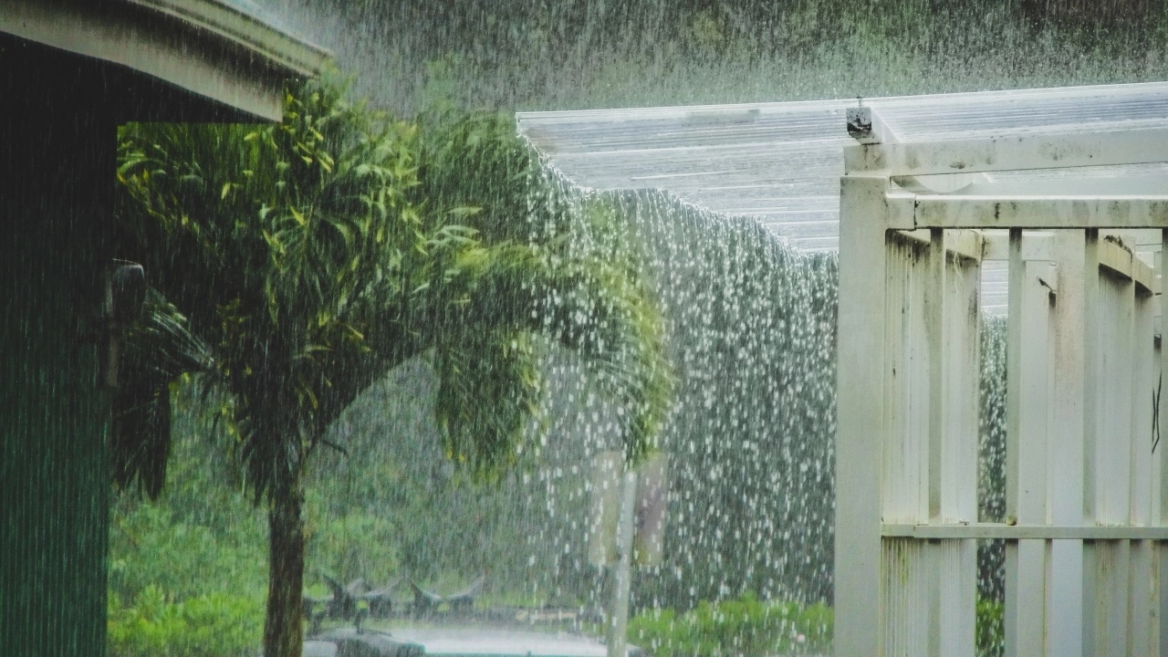
The Meteorological Department has issued the 5th warning stating that southern Thailand will experience continuous rain with heavy downpours in many areas and very heavy rain in some places. Meanwhile, upper Thailand will initially have thunderstorms with some strong gusts of wind, followed by cooler weather and strong winds.
On 17 November 2026, the Meteorological Department’s website released the 5th announcement regarding heavy to very heavy rain in southern Thailand, effective from 18 to 22 November 2026.
From 18 to 22 November 2026, southern Thailand will have continuous rain with heavy downpours in many areas and very heavy rain in some places. The public is advised to be cautious of risks caused by persistent rain, which may lead to flash floods and mountain runoff, especially in foothill areas near waterways and lowlands. Waves and winds in the Gulf of Thailand and Andaman Sea will intensify, with waves 2-3 meters high in the lower Gulf of Thailand and over 3 meters in thunderstorm areas. Mariners in these waters should carefully check routes and navigate cautiously, avoiding areas with thunderstorms. Small boats in the lower Gulf of Thailand are advised not to go out during this period.
In upper Thailand, there will be thunderstorms with some strong gusts of wind initially. Afterwards, the weather will turn cooler with strong winds. Temperatures in the northeast will drop by 2-4 degrees Celsius, while the north, central regions including Bangkok and its vicinity, and the east will see temperature decreases of 1-3 degrees Celsius. Residents are advised to take care of their health due to changing weather, and farmers should take measures to protect crops from possible damage.
This situation is due to a moderate to fairly strong high-pressure cold air mass from China spreading over upper Thailand and the South China Sea, combined with a strengthening northeast monsoon covering the Gulf of Thailand, southern Thailand, and the Andaman Sea.
For safety and to minimize potential impacts, the public should plan their activities and travel carefully during this period. Residents are urged to continuously follow updates from the Meteorological Department via their website https://www.tmd.go.th or by calling 0-2399-4012-13 and 1182, available 24 hours a day.
General weather conditions: Upper Thailand will see increased thunderstorms with some strong gusts, mainly in the north and upper northeast, where cool mornings persist. This is due to a moderate to fairly strong cold air mass from China spreading over upper Thailand and the South China Sea, bringing easterly winds that carry moisture into upper Thailand. Residents should take care of their health due to changing weather and be cautious of thunderstorms and strong gusts that may occur locally. Farmers should also protect their crops from potential damage.
In the lower southern region, heavy rain is expected in some areas due to a moderate northeast monsoon covering the Gulf of Thailand and southern Thailand. Residents should be wary of dangers from heavy and persistent rain that may cause flash floods and mountain runoff, especially in foothill and lowland areas near waterways.
For the Gulf of Thailand and Andaman Sea, waves exceed 2 meters in thunderstorm areas. Mariners should check routes and navigate cautiously, avoiding areas experiencing thunderstorms.
From 18 to 22 November 2026, southern Thailand will experience heavy rain in many areas and very heavy rain in some places. Waves and winds in the Gulf of Thailand and Andaman Sea will strengthen, with waves exceeding 3 meters in thunderstorm areas of the lower Gulf of Thailand. Upper Thailand will have thunderstorms and some strong gusts on 17-18 November 2026, followed by cooler and windier weather. For safety and to reduce impacts, residents should keep monitoring announcements from the Meteorological Department.
Currently, air quality in upper Thailand is rated from good to moderate for dust and haze accumulation due to improved ventilation and rainfall in the area.
From 06:00 today until 06:00 tomorrow
Northern Region
Cool mornings with 40% chance of thunderstorms and some strong gusts mainly in Chiang Mai, Chiang Rai, Nan, Uttaradit, Tak, Kamphaeng Phet, Phitsanulok, and Phetchabun provinces. Minimum temperatures range from 18-24°C, maximum 31-34°C. Mountain peaks will be cold with lows of 10-15°C. Easterly winds at 10-15 km/h.
Northeastern Region
Cool mornings with a 30% chance of thunderstorms and some strong gusts mainly in Loei, Nong Khai, Bueng Kan, Nong Bua Lamphu, Udon Thani, Sakon Nakhon, Chaiyaphum, Khon Kaen, and Nakhon Ratchasima provinces. Minimum temperatures 21-25°C, maximum 33-35°C. Mountainous areas will be cool to cold with lows of 14-18°C. Southeasterly winds at 10-20 km/h.
Central Region
40% chance of thunderstorms with some strong gusts mainly in Nakhon Sawan, Uthai Thani, Lopburi, Saraburi, Suphan Buri, Kanchanaburi, Ratchaburi, and Nakhon Pathom provinces. Minimum temperatures 21-25°C, maximum 33-35°C. Southeasterly winds at 10-20 km/h.
Eastern Region
40% chance of thunderstorms with some strong gusts mainly in Nakhon Nayok, Chachoengsao, Chonburi, Rayong, Chanthaburi, and Trat provinces. Minimum temperatures 24-26°C, maximum 32-34°C. Southeasterly winds at 15-30 km/h. Sea waves about 1 meter high; over 2 meters in thunderstorm areas.
Southern Region (East Coast)
60% chance of thunderstorms with heavy rain in some areas of Songkhla, Pattani, Yala, and Narathiwat provinces. Minimum temperatures 22-25°C, maximum 30-33°C. Northeasterly winds at 15-30 km/h. Sea waves about 1 meter high; over 2 meters in thunderstorm areas.
Southern Region (West Coast)
60% chance of thunderstorms mainly in Phang Nga, Krabi, Trang, and Satun provinces. Minimum temperatures 23-25°C, maximum 32-34°C. Easterly winds at 15-35 km/h. Sea waves about 1 meter high near shore, 1-2 meters farther out; over 2 meters in thunderstorm areas.
Bangkok and Vicinity
40% chance of thunderstorms with some strong gusts. Minimum temperatures 25-27°C, maximum 32-34°C. Southeasterly winds at 10-20 km/h.