

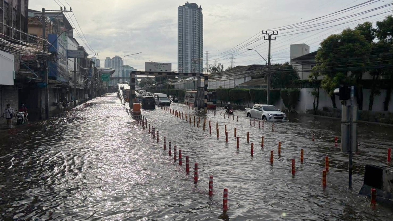
Image from FB: Traffic Police, Khlong Tan Police Station
Update on Bangkok flooding situation as of 29 Sep 2026: Check 11 locations "Main Roads" Water levels remain heavily flooded, making travel difficult. Check alleys, communities, and affected roads here.
On 29 Sep 2026, following heavy continuous rain causing flooding in many areas of Bangkok and its vicinity, the situation now shows a downward trend. Although water levels have started to recede in many road spots, some areas still remain heavily flooded.
Recently, the Facebook pageBangkok Metropolitan Administration Flood Prevention Centerposted an update on main roads with flooding on 29 Sep 2026 at 08:30.
High Flooding
1. Ramkhamhaeng Road at Ramkhamhaeng Soi 24
2. Ramkhamhaeng Road at Ramkhamhaeng Soi 23
3. Srinakarin Road from Lam Sali Intersection – cut to Krungthep Kreetha – up to Phatthanakan Road intersection
4. Nawamin Road from Nawamin 26 to Bang Kapi Intersection
5. Happy Land Road, Line 1
6. Sriburapha Road
7. Lat Phrao Road from Lat Phrao 101 Intersection cutting to Happy Land Intersection up to Bang Kapi Intersection
8. Suwinthawong Road from Sam Wa Intersection to Rat Uthit Intersection
9. Laem Thong Athletes Road
10. Phatthanakan 53 Road
11. Romklao 24 (Kheha Romklao)
Flooding
1. Ramkhamhaeng Road from Rama 9 to Lam Sali Intersection
2. Srinakarin Road up to Phatthanakan Road to Soi Sukhumvit 77
3. Nawamin Road from Nawamin 100 to 98
4. Prasert Manukit Road Intersection cutting Nawamin Road
5. Nawamin Road from Nawamin 56 to 26
6. Phahonyothin Road from Kaset Intersection to BTS Rop 11
8. Phahonyothin Road from Bangkok boundary to Save One Market
9. Phahonyothin Road from in front of Bhumibol Hospital to BTS Saphan Mai
10. Phahonyothin Road from BTS Saphan Mai to Phahonyothin Soi 48
11. Suwinthawong Road from Muang Min Intersection to Hathairat Intersection
12. Sihaburanukit Road from Muang Min Intersection to in front of District Office
13. Lat Krabang Road
14. Luang Paeng Road from Luang Paeng Soi 6 to Lat Krabang 54
15. Phatthanakan Road from Phatthanakan 56 to Phatthanakan 24
16. Krungthep Kreetha 8
17. Theparak Road from Phahonyothin Road to Sukhaphiban 5
18. Sai Mai Road from Sai Mai 13 to Bueng Phraya Suren Canal
19. Prasert Manukit 27
20. Motorway parallel road (inbound) near King Mongkut's Hospital
*** Alleys or communities still heavily flooded ***
Thanks to the Facebook page of Bangkok Metropolitan Administration Flood Prevention Center