

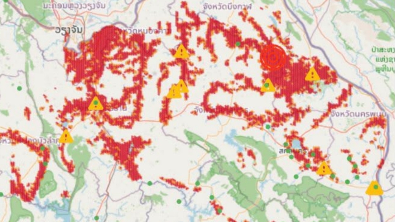
Urgent alert "5 Provinces" Marked Red Zones Upper Northeastern Thailand faces risks of stagnant and flash floods; Sakon Nakhon under closest watch as most severe
On 20 Aug 2026 at 16:32 GMT+7, the latest data from the app "Check Water" (based on GISTDA satellite data) indicates that the upper northeast is clearly experiencing widespread risks of stagnant and flash flooding. The dense red zones (high risk) have expanded into a large "red area," especially in 5 provinces requiring special attention as the highest risk areas for close monitoring.
Meanwhile, Kalasin, Mukdahan, and Yasothon – Starting to show scattered red spots and yellow triangle warnings in some districts. Although not as dense as the upper northeast, close monitoring is advised.
This analysis comes from highly accurate, real-time updated satellite imagery by GISTDA, making it a reliable tool for assessing the situation. The advice for residents in risk zones is not to panic but to use this time for calm and mindful preparation as follows:
Information from the Facebook page of GISTDA, Geo-Informatics and Space Technology Development Agency (Public Organization)