Hat Yai Municipality has raised the "yellow flag" to warn flood watch areas due to ongoing heavy rainfall, which has caused rising water levels in the Mae Rian and Hwa canals.
On 18 December 2025, the Facebook pageHat Yai Municipalityreleased the sixth official statement from the Hat Yai Municipality Flood Prevention and Relief Center regarding the flood situation in the Hat Yai municipal area.
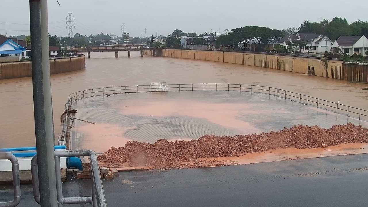
Following heavy rain overnight continuing to the present, accumulated rainfall measured at the Khlong Rian detention station reached 140 millimeters, causing water levels in the Mae Rian and Hwa canals to rise. Additionally, rain is expected to continue from afternoon until evening.
Water levels in various canals as of 12:00 noon today are as follows:
1. Utapao Canal
2. Hwa Canal: 2.98 meters below the riverbank
3. Toey Canal: 3.00 meters below the riverbank
4. Khlong Rian detention basin: 1.93 meters below the riverbank
5. Khlong Sadao reservoir volume: 53.82 million cubic meters (94.86% of reservoir capacity)
Therefore, the municipality issues a warning to residents within Hat Yai Municipality to raise the "yellow flag" for areas including Sam Sip Met Road, Suphasanrangsan Road, Thamnuan Withee Road, Prachathipat Road, and the side alleys of these roads, as well as communities such as Chanwiroj, Chanprateep, Channivet, and Rattanawiboon.
Hat Yai Municipality has convened relevant officials to prepare flood prevention measures at these risk points. However, there are limitations with the drainage system, so authorities are urgently dredging silt and removing debris causing blockages.
Residents in these areas are advised to prepare accordingly and closely follow updates from Hat Yai Municipality. For weather information and inquiries, contact Khun Chon Radio Center at 074-200028, Khun Chon Hotline at 074-200000, available 24 hours, or visit Hat Yai Municipality's Facebook, Line: @hatyaicity, and website.www.hatyaicity.go.th
Information from Hat Yai Municipality's Facebook page