

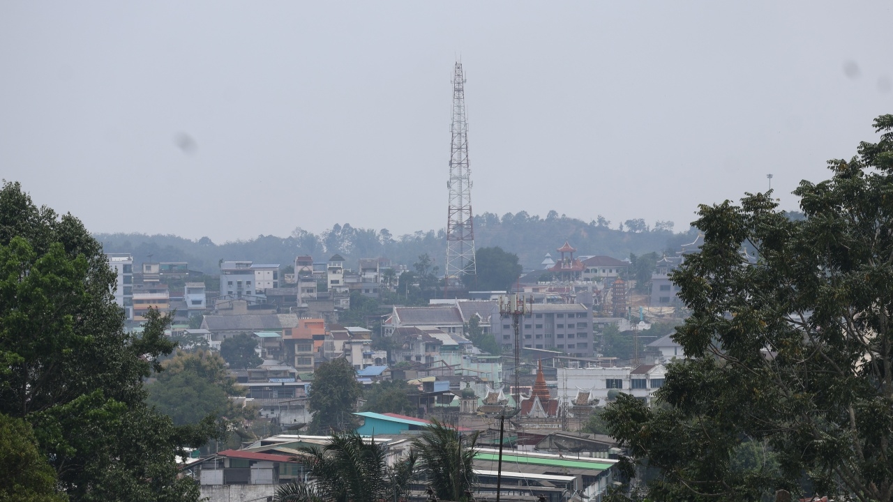
Haze from Indonesian forest fires has increasingly covered Betong District, Yala Province. Air quality measurements indicate levels that begin to affect health.
On 17 September 2026 GMT+7, reporters noted that haze from Indonesian forest fires continued to cover Betong District in Yala. The sky was dim, with thick haze spreading throughout the area, clearly visible over both flatlands and mountain peaks. The haze appeared to increase steadily throughout the day, obscuring the sun in the commercial center of the city.
Betong Municipality is situated in a basin surrounded by mountains. Normally, drivers can see the mountains while traveling on roads, but currently, only haze is visible, almost completely obscuring the mountains. Along the roads, more people riding motorcycles or outdoors are wearing masks.

Morning drivers have had to turn on their headlights and exercise greater caution because reduced visibility increases the risk of accidents.
Air quality measurements in Betong District from the Air4Thai app at 12:00 showed an Air Quality Index (AQI) of 106, indicating levels starting to impact health. PM 2.5 was measured at 39.4 micrograms per cubic meter, exceeding the recommended maximum of 37.5. Residents are advised to reduce outdoor activities and strenuous exercise. At-risk groups should wear masks whenever outside and avoid prolonged outdoor exposure. Anyone experiencing symptoms like difficulty breathing or sore throat should seek medical care immediately.