

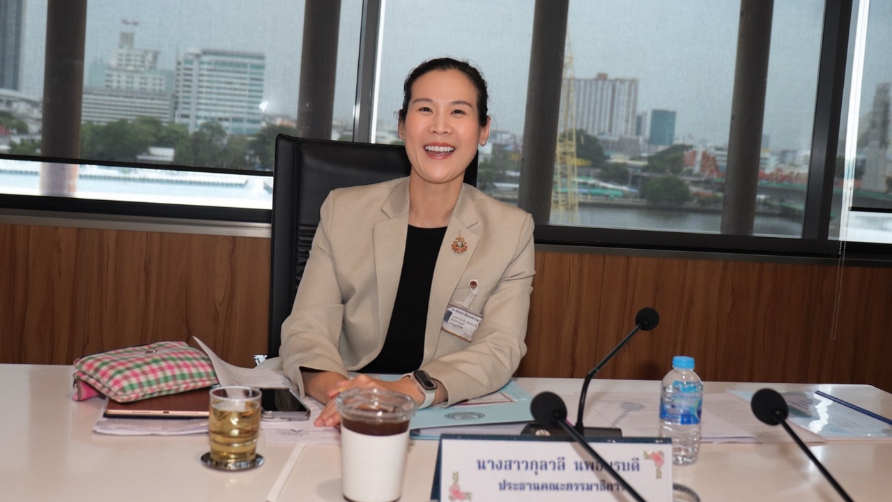
Kulwalee, together with the Land Committee, is advancing the 'One Map' project, urging the government to finalize state land boundaries nationwide to resolve decades-long overlapping land disputes. She firmly stated, "Legally owned land by citizens will never be confiscated because of lines on a map." Tags: [Land Policy, State Land, Boundary Disputes, One Map Project, Land Rights]
On 9 July 2026 at the Parliament, Ms. Kulwalee Nopamornbodi, Member of Parliament for Ratchaburi from the Bhumjaithai Party and Chairperson of the Parliamentary Committee on Land, Natural Resources and Environment, chaired a meeting to review progress on the nationwide standardized state land boundary mapping project, known as 'One Map.' She also accelerated efforts to resolve conflicts where state land boundaries overlap with citizens’ agricultural land. Representatives from central agencies and governors of six provinces—Lopburi, Sisaket, Surin, Nakhon Si Thammarat, Chanthaburi, and Ratchaburi—were called to participate and provide explanations.Tags: [Parliament, Land Committee, One Map, Provincial Governors, Land Conflict]
Historically, different categories of state land—such as forest reserves, national parks, land under the Agricultural Land Reform Office (Sor Por Kor), and government property—have used their own maps at varying scales. This has caused overlapping boundaries among themselves and, in many cases, overlaps with agricultural land or privately titled land of citizens, resulting in long-standing disputes lasting decades. The One Map project was initiated to consolidate all maps into a single, accurate, and standardized boundary line under the principle of "one area, one responsible agency," aiming to resolve land conflicts in the long term.Tags: [State Land, Map Standardization, Boundary Overlaps, Land Disputes, One Map]
Ms. Kulwalee emphasized that the committee prioritizes completing the One Map project swiftly to end land disputes for future generations. However, the principle remains that citizens’ legal rights to agricultural land must not be revoked due to map boundary adjustments. Those affected must receive proper care. If state boundaries overlap with land already occupied or legally titled by citizens, the relevant agencies must jointly verify facts, confirm rights, and establish fair compensation measures. During the meeting, the committee instructed the governors of the six provinces to report on overlap issues in their areas. The National Land Policy Committee (NLPC) was assigned to compile a provincial status summary, set up complaint mechanisms, and clarify compensation measures before reporting back to the committee within the specified timeframe.Tags: [Land Rights, Legal Protection, Compensation, NLPC, Provincial Reports]
Furthermore, once state land boundaries are clearly defined, they will serve as a crucial tool to prevent improper issuance of land titles—such as in the Phuket case—and unauthorized encroachment into watershed forests—such as the recent Chaiprakarn case reviewed yesterday. The committee affirmed it will continuously monitor progress to ensure national land management is transparent, fair, and genuinely protects citizens’ rights.Tags: [Land Management, Land Title Fraud Prevention, Forest Protection, Chaiprakarn Case, Oversight]