

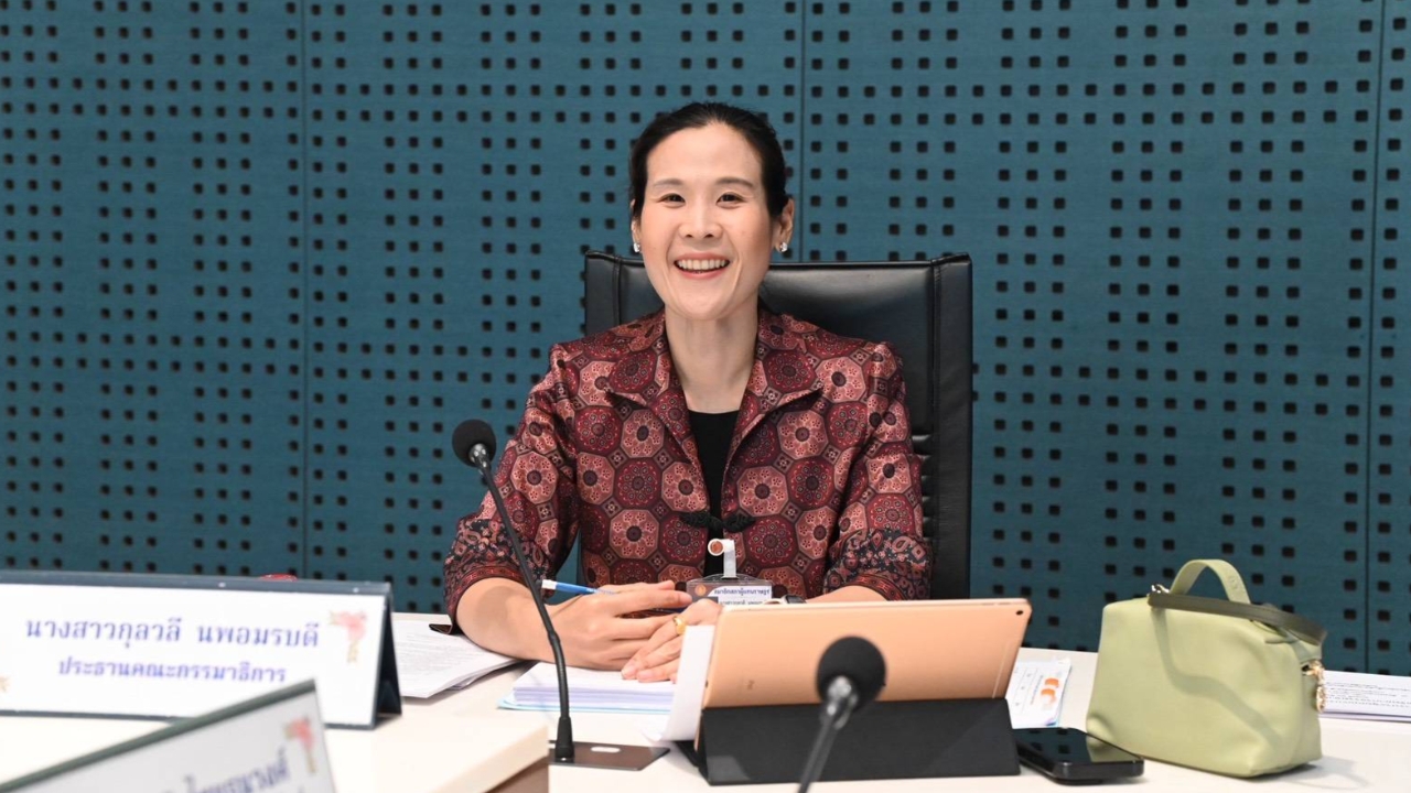
Kulwalee, Chair of the Land Commission, urges resolving the One Map issue by relying on 1952 evidence and the military L708 map as definitive proof to verify overlapping boundaries and promptly restore justice to villagers facing legal proceedings.
On 5 Sep 2026 GMT+7, Ms. Kulwalee Nopamornbodi, Chair of the Land, Natural Resources, and Environment Commission of the House of Representatives, led the commission in a joint meeting with the Ministry of Natural Resources and Environment (MNRE) to review progress on the integrated state land boundary map improvement project (One Map) at 1:4000 scale. She noted that the One Map project, initially expected to complete in 2 years, has now been underway for over 11 years with a budget exceeding 100 million baht but has yet to resolve the issues. In particular, Thap Lan National Park faces conflicting boundary declarations from 1981 and 2000, as well as administrative boundary disputes between Prachinburi and Nakhon Ratchasima provinces, complicating inter-agency agreements.
The commission proposed that three departments under the MNRE—the Royal Forest Department, the Department of National Parks, Wildlife and Plant Conservation, and the Department of Marine and Coastal Resources—prioritize settling their overlapping boundaries first to build leverage for negotiations with other ministries. They recommended all agencies adopt the same scientific evidence and map data standards, using 1952 aerial photographs and the military L708 map overlaid to establish settlement and land use chronology before forest declarations. The Department of National Parks committed to verifying the rights of 5,200 residents in Thap Lan within six months.
"This evidence is impartial; the 1952 photos do not recognize politics or corporate interests. They simply show what was present at that location then. If all departments agree to use the same data as the standard, disputes that have lasted over a decade can be resolved. Residents who settled earlier will receive justice, and those arriving later can be clearly distinguished," Ms. Kulwalee said.
Regarding restoring justice to affected residents, the commission chair emphasized that agencies should expedite completing the map-based evidence verification and promptly apply it in judicial processes, enabling affected parties to use it as timely evidence. However, this must not interfere with cases under court jurisdiction. Currently, surveying under the Cabinet resolution is limited to group 4 areas; other groups remain unassessed due to some residents’ reluctance. She urged agencies to simultaneously build understanding alongside ongoing operations.
Ms. Kulwalee said the commission plans to coordinate with the Ministry of Agriculture and Cooperatives and the Land Development Department to address permanent forest area overlaps with residential and farming lands, which hinder land title surveys. The approach includes three strategies: 1) expedite boundary agreements; 2) swiftly restore justice for residents proven to have settled earlier, especially those prosecuted; and 3) establish mechanisms to prevent corporate land grabbing while conserving forests and preserving World Heritage status. Recommendations will be drafted for relevant agencies and the Cabinet.