

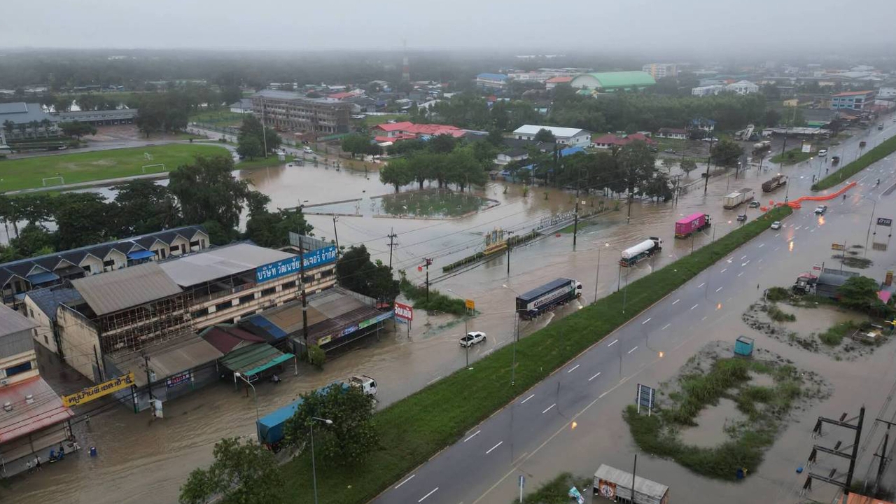
The government has ordered 70 provinces and Bangkok to monitor flash floods, forest runoff, mudslides, and waterlogging, instructing the deployment of operational teams and machinery to prepare for emergencies and assist victims from 23 to 27 September 2026.
23 September 2026 GMT+7 Ms. Ploytale Laksameesangchan, Deputy Spokesperson of the Office of the Prime Minister, revealed that from 23 to 27 September 2026, Thailand will experience heavy rainfall in many areas, with some locations facing very heavy rain. The impact will begin in the lower Northeastern region and the Eastern region first, with other regions affected subsequently.
The government is concerned for the public and urges continuous monitoring of weather conditions, warning announcements, water situations in local areas, and official news. It emphasizes caution regarding waterlogging, flash floods, riverbank overflows, forest runoff, mudslides, and waterlogging in urban communities prone to frequent flooding due to inadequate drainage.
. Areas under watch for flash floods, forest runoff, mudslides, and waterlogging include all provinces in the North, Northeast, and Central regions, as well as seven Southern provinces: Chumphon, Surat Thani, Songkhla, Ranong, Phang Nga, Phuket, and Narathiwat.
. Areas to monitor for sudden water level rises, riverbank overflows, and waterlogging in low-lying regions along main rivers and tributaries include the Moei, Yuam, and Mae Sariang rivers in Mae Hong Son province; Wang Thong River in Phitsanulok province; Phachi River in Ratchaburi province; Nakhon Nayok River in Nakhon Nayok province; Prachin Buri River in Prachin Buri province; Phra Satueng and Phra Prong canals in Sa Kaeo province; Chanthaburi River in Chanthaburi province; Kaper Canal in Ranong province; and Sai Buri and Golok rivers in Narathiwat province.

. Additionally, vigilance is requested for flood-prone areas downstream of the Chao Phraya Dam. It is forecasted that runoff from the upper basin will flow through the dam at about 1,500 cubic meters per second, potentially increasing water levels by approximately 0.75 to 1.25 meters from current levels. This will impact vulnerable low-lying areas outside flood barriers in Chai Nat province (Sapphaya district), Sing Buri province (In Buri district), Ang Thong province (Muang and Wiset Chai Chan districts), Phra Nakhon Si Ayutthaya province (Sena, Phak Hai, Bang Ban, Phra Nakhon Si Ayutthaya, Bang Pa-In, and Bang Sai districts), and Pathum Thani province (Muang and Sam Khok districts).
In closing, Ms. Ploytale stated that the government, through the Department of Disaster Prevention and Mitigation (DDPM), has coordinated with 70 provinces in the North, Northeast, Central, South regions, and Bangkok to monitor flash floods, forest runoff, mudslides, and waterlogging. It has ordered the deployment of operational teams and disaster machinery to high-risk areas for immediate response and assistance to victims, especially in frequently flooded zones and areas still experiencing flooding, urging rapid water drainage to minimize the impact of flooding as much as possible.