

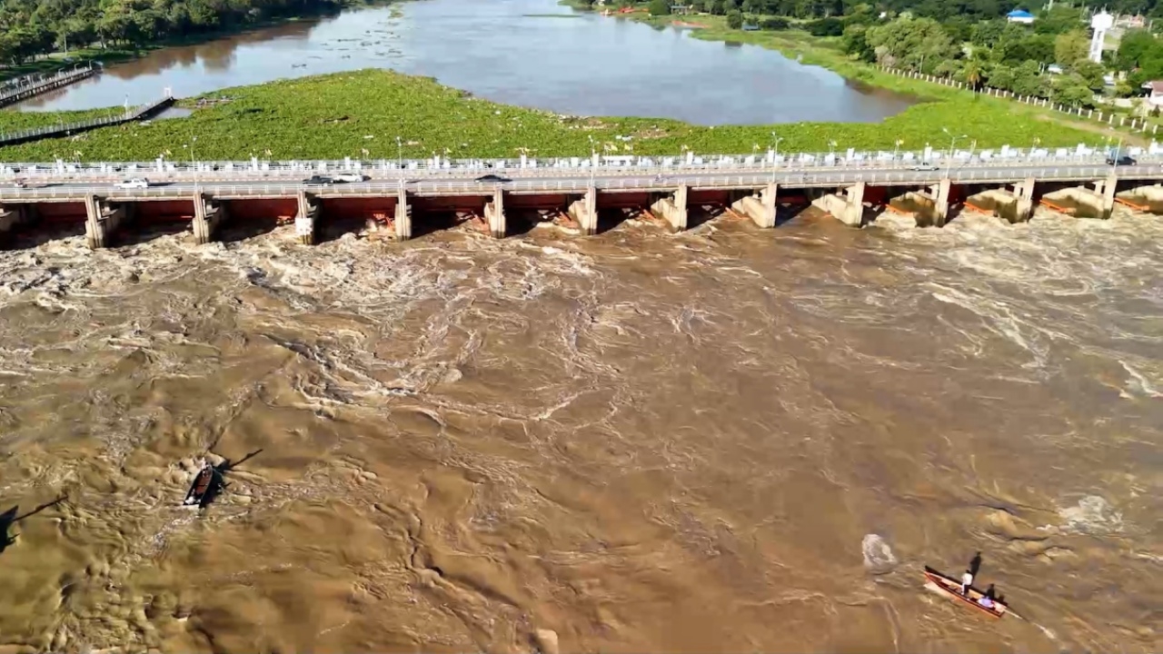
Dr. Seri updates rain and northern water data, comparing to 2011, warning central Thailand has about 7-10 days to prepare for the northern water mass. He also reveals an assessment of two worst-case scenarios based on risk science.
On 1 October 2026, Associate Professor Dr. Seri Suparat, Director of the Climate Change and Disaster Center at Rangsit University and Vice President of the National Disaster Warning Council Foundation, posted on his personal Facebook page that he is currently in Hat Yai planning to install the L-alert warning system for Hat Yai Municipality, aiming for it to be operational before the November rains arrive.
For the central region, we have about 7-10 days to prepare for the northern water mass, starting from Chai Nat Province to Bangkok and its metropolitan area. The Climate and Disaster Center at Rangsit University and the National Disaster Warning Council Foundation have been monitoring rainfall and northern water levels and found that:
Good news: The 10-day rainfall forecast predicts no heavy rain in the central region, including Bangkok and its metropolitan area. The risk of storms entering the country is low (currently 26 storms formed, about 2 remain). Northern water volume from Kamphaeng Phet Province is decreasing, but updates and weather monitoring are advised since rain forecasts are reliable only up to three days ahead. Existing floodwater levels are expected to decrease depending on each area's drainage capacity. In low-lying areas such as Bang Kapi, Lat Krabang, Khlong Sam Wa, Min Buri, Nong Chok, and Bang Na districts, several agencies are actively pumping water from the end of Khlong Dan to the sea.
Bad news: In the lower Chao Phraya basin, water volume in the Ping River at Banphot Wisai District, Nakhon Sawan Province, has rapidly increased over the past three days (29, 30 September, and 1 October) (892, 1,927, 1,560 cubic meters per second). This has caused the Chao Phraya River volume to rise in Nakhon Sawan (2,000, 2,326, 2,610 cms). The peak water volume forecast and accumulated floodwater (3,000 cms and 5 billion cubic meters) remain below 2011 levels (4,600 cms and 15 billion cubic meters), approximately 35% and 66% respectively. However, these volumes will increase the burden on the Chao Phraya Dam. Water levels above and below the dam are expected to rise during this period and may overflow dikes and floodgates. What will happen to Bangkok and its metropolitan area? This is based on an assessment of two worst-case scenarios using risk science.
Areas above the Chao Phraya Dam will experience rising water levels affecting areas outside the dikes in Chai Nat and Uthai Thani provinces. Close monitoring is needed for possible dike overflow or weak dike conditions. Communities below the dam from Sapphaya District in Chai Nat, Sing Buri, Ang Thong, and Ayutthaya provinces along the Chao Phraya River, up to the Maharaj Canal dike (east side) and the Dam Road dike (west side), as well as communities along the Noi and Tha Chin rivers in Suphan Buri and Nakhon Pathom provinces, are at risk of flooding. Preparations should include moving belongings to higher ground and relocating vehicles to safe areas.
For Bangkok and its metropolitan area, the assessment results using mathematical models will be available this afternoon and will be posted immediately. Some details cannot be disclosed at this time but will be shared on 2 October from 13:00 to 14:00 at Rangsit University, according to the attached poster.
Thanks for the information from Facebook.Associate Professor Dr. Seri Suparat