Photograph by Jittima Lakboon
In 2025, numerous unforgettable events occurred, especially ongoing disasters throughout the year: an earthquake early in the year caused the collapse of the new office building of the Office of the Auditor General; midyear saw floods in northern and upper central regions; and most recently, severe flooding struck Hat Yai district in Songkhla province and several other southern border provinces.
These events remain significant topics of public discussion, prompting many to reflect on past major disasters Thailand has experienced, particularly the 2004 tsunami—a disaster that few anticipated and which caused chaotic emergency responses.
The term 'tsunami' became familiar to Thais 21 years ago after a magnitude 9.1 earthquake off Sumatra Island, Indonesia, triggered large, fast-moving, and powerful waves on 26 December 2004 that struck six southern Thai provinces along the Andaman Sea coast: Phang Nga, Krabi, Phuket, Ranong, Trang, and Satun.
That disaster caused historically significant losses, with over 5,000 deaths and more than 5,000 missing persons. Phang Nga province suffered the highest fatalities, with more than half being foreign tourists.
Tsunami Memorial at Phi Phi Island
Several factors contributed, such as tourists being unfamiliar with the area and unaware of local disaster risks, and inadequate preparedness measures. Thus, tourists represent a key vulnerable group that the government must consider alongside promoting tourism economy.
Over the past 21 years since the tsunami, multiple sectors have increased focus on disaster preparedness. Yet, amid a world where unexpected disasters are happening more frequently, questions remain whether current policies, urban planning, and management truly enable everyone to effectively cope with disasters.
Although the 2004 tsunami was widely reported globally, the passage of 21 years means the event has faded somewhat from collective memory.
Certainly, experiences and stories are retold annually on 26 December, but one reminder per year may be insufficient, especially regarding knowledge about survival in disasters, which needs to be instilled from childhood.
Tourists from diverse nations receive different levels of knowledge and training, posing a challenge for designing tourist cities to communicate universally and effectively.
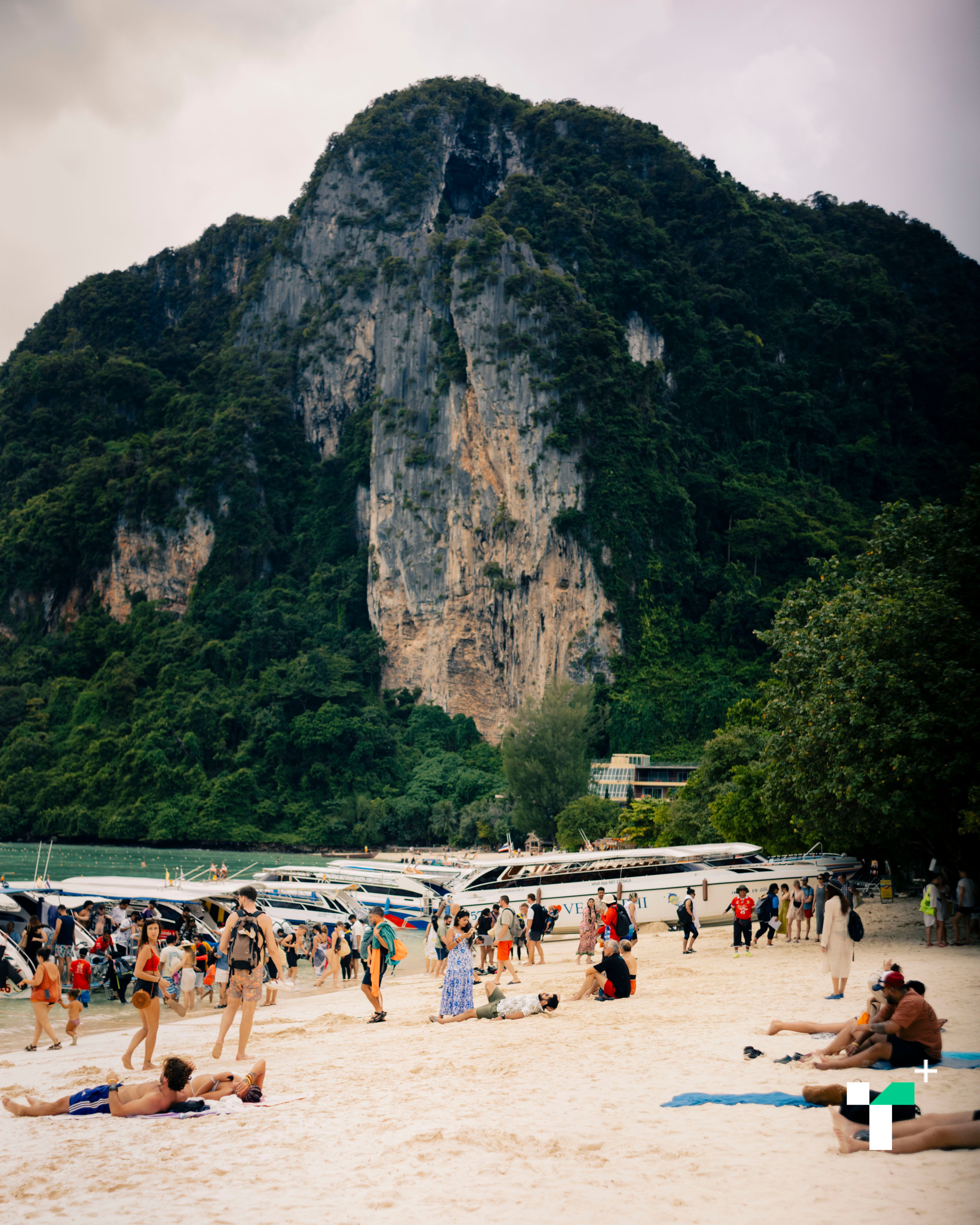
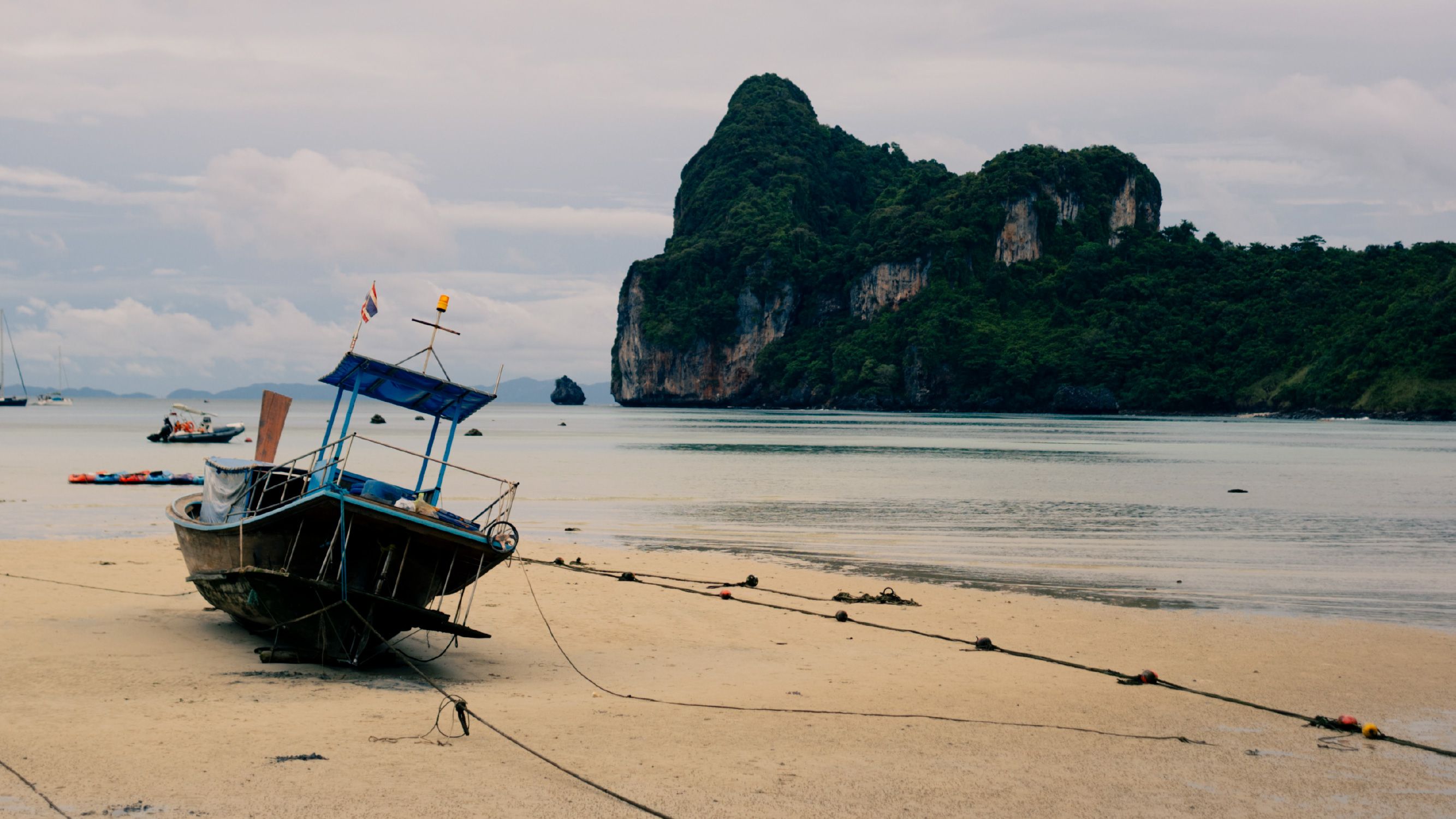
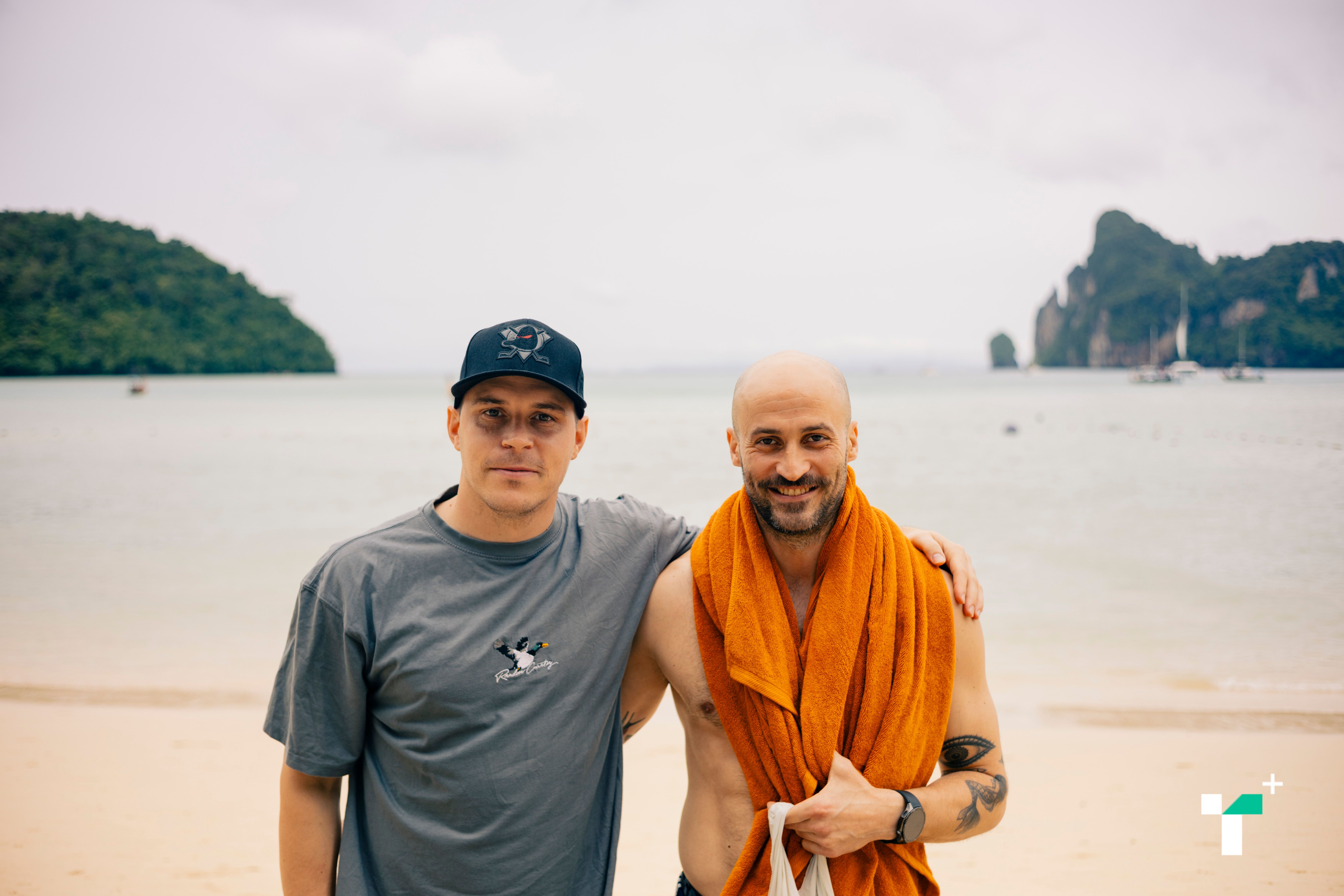
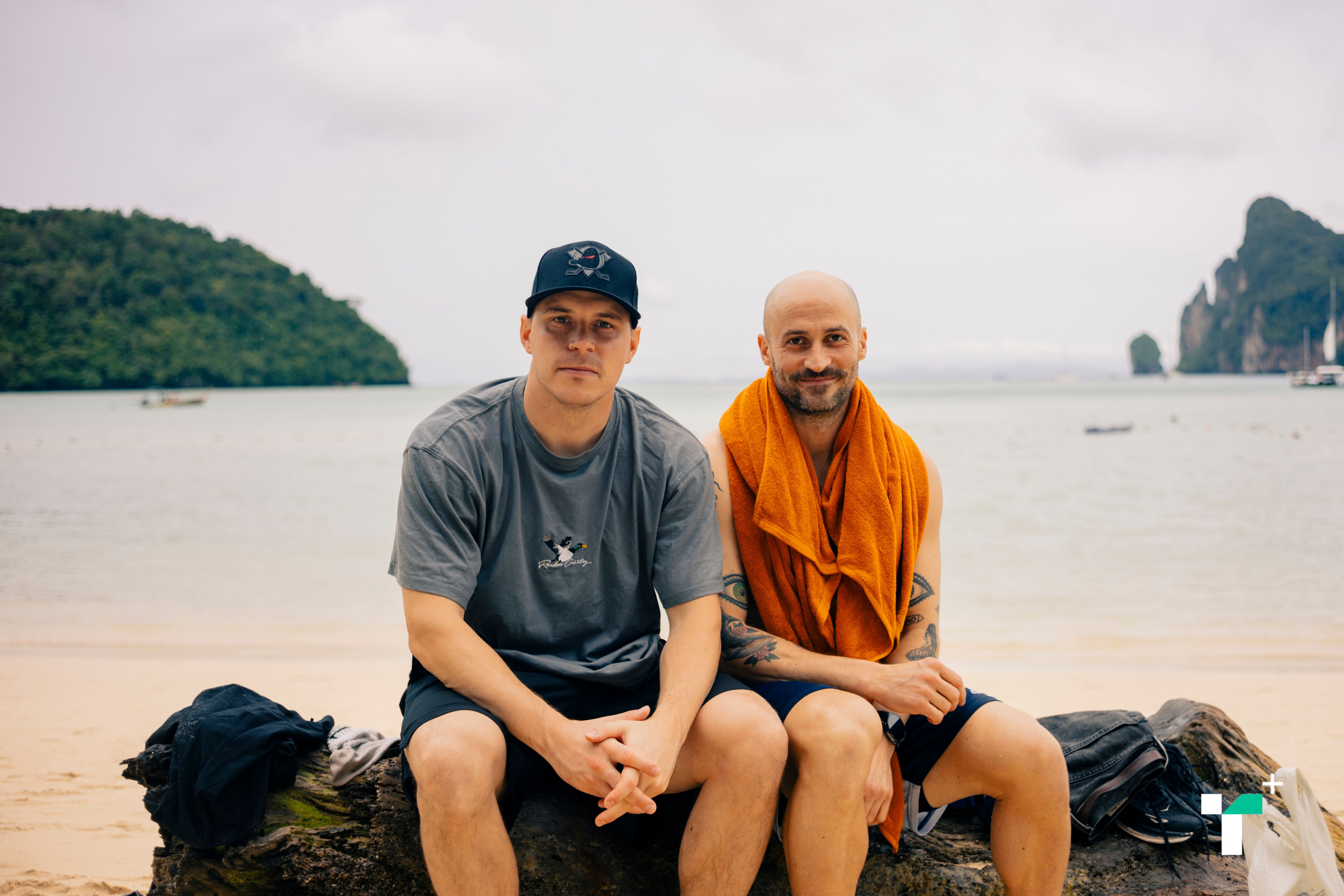
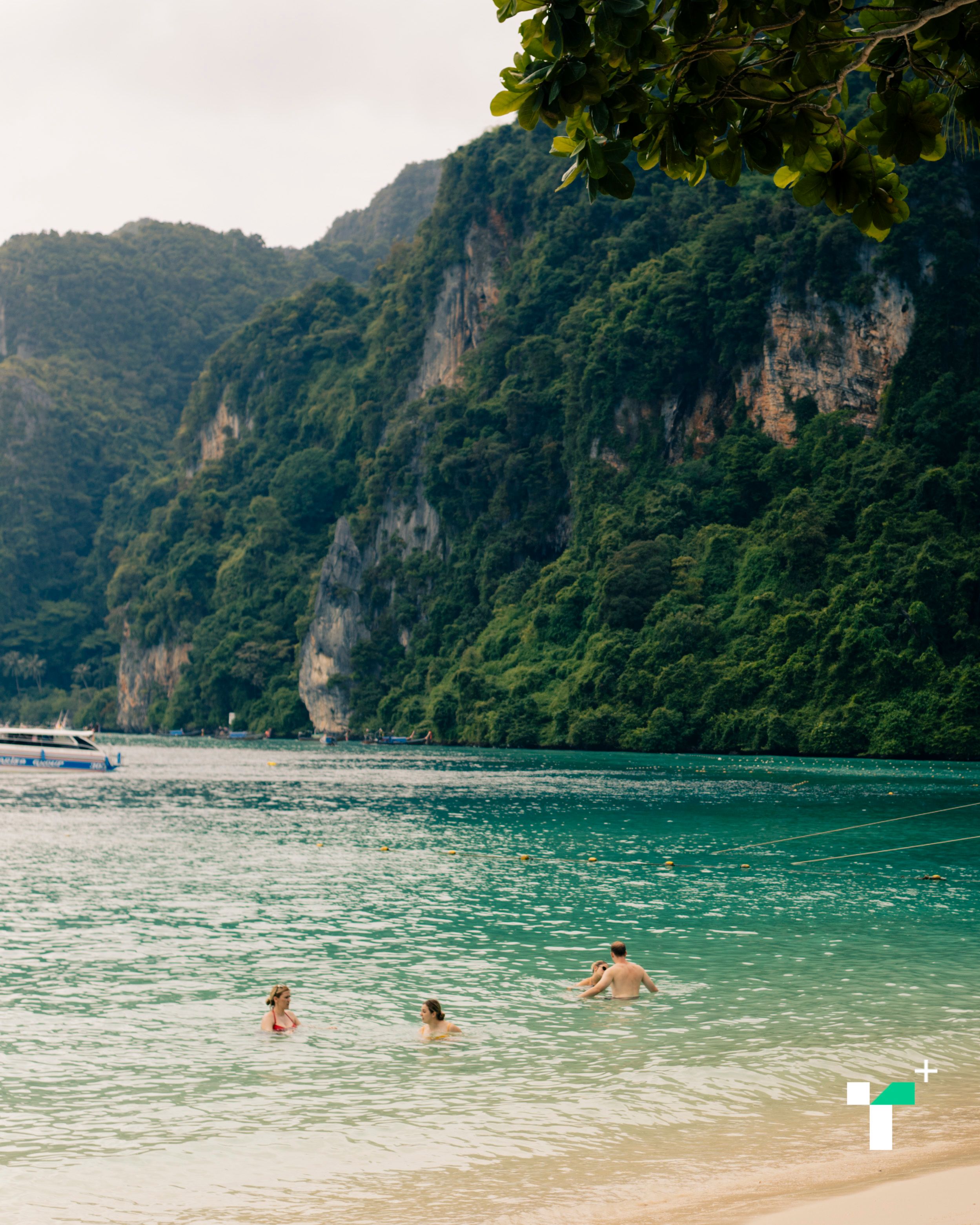
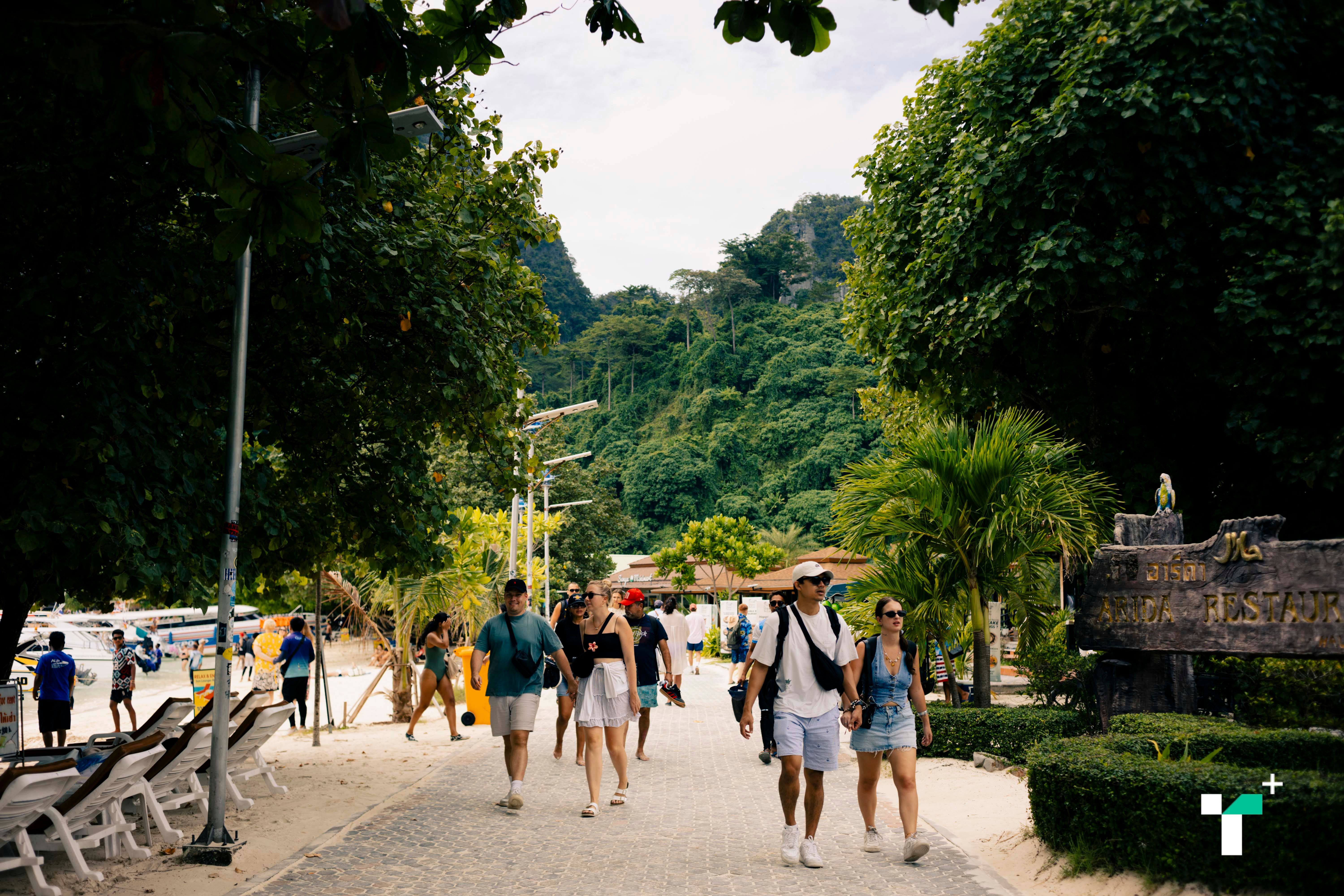
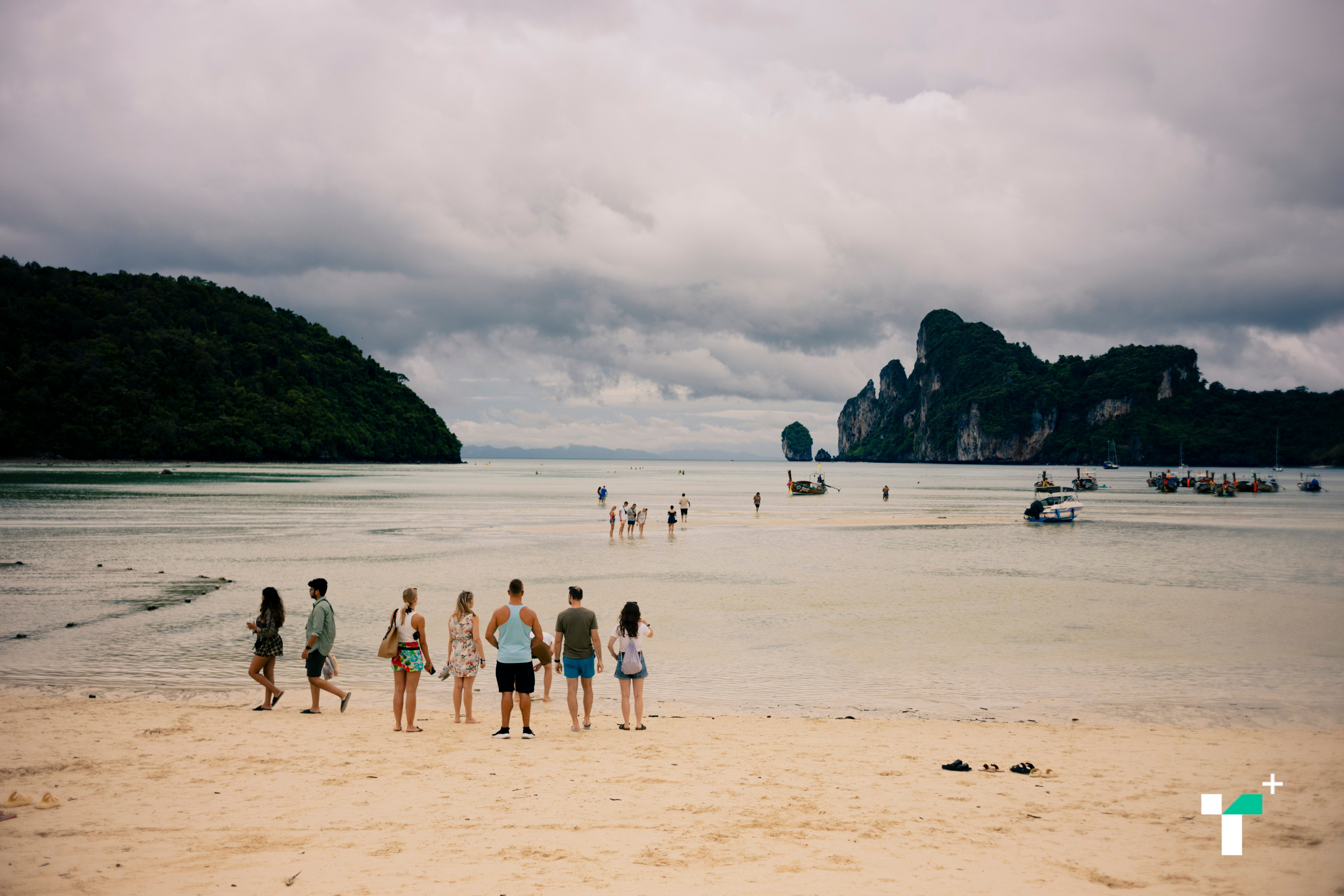
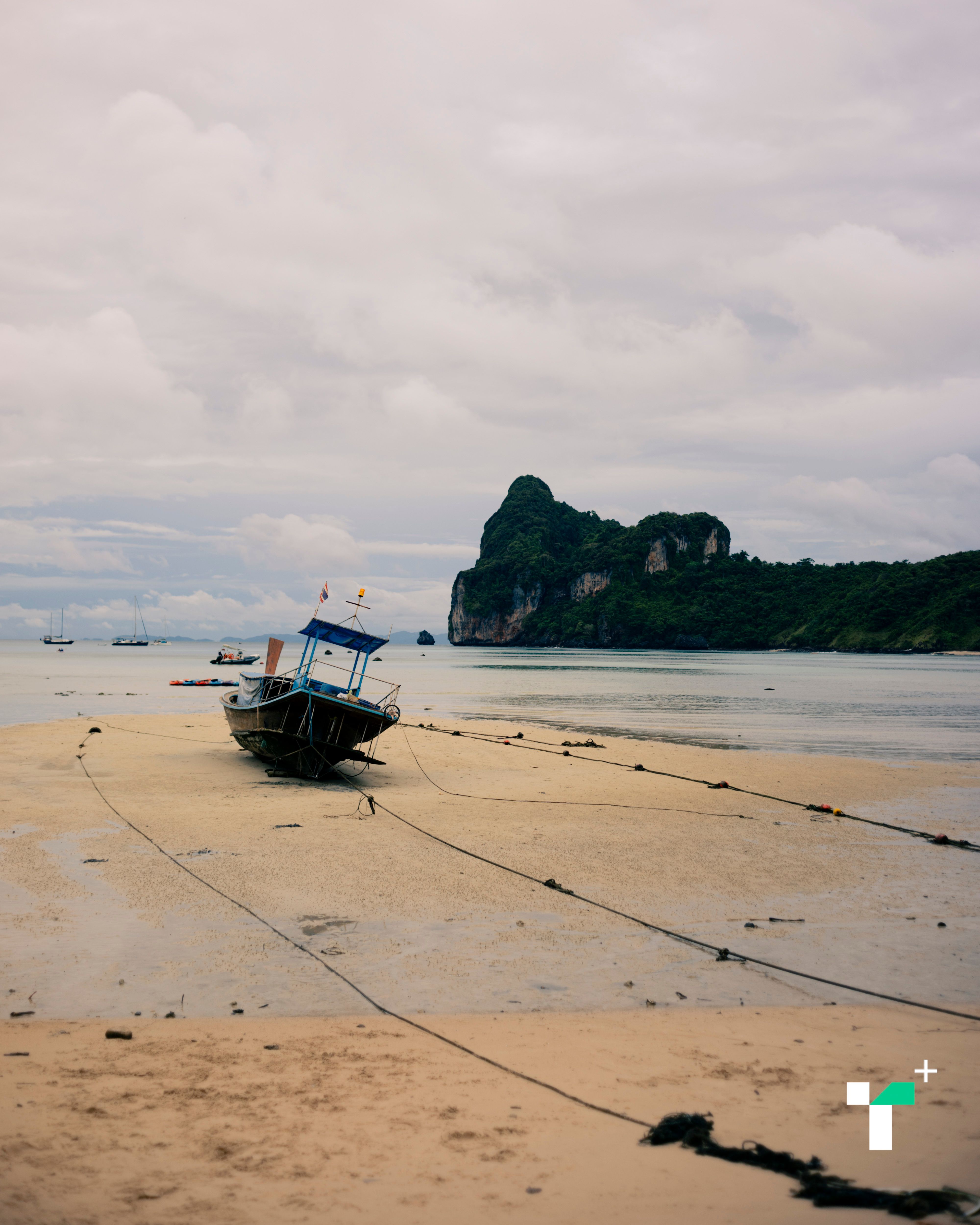
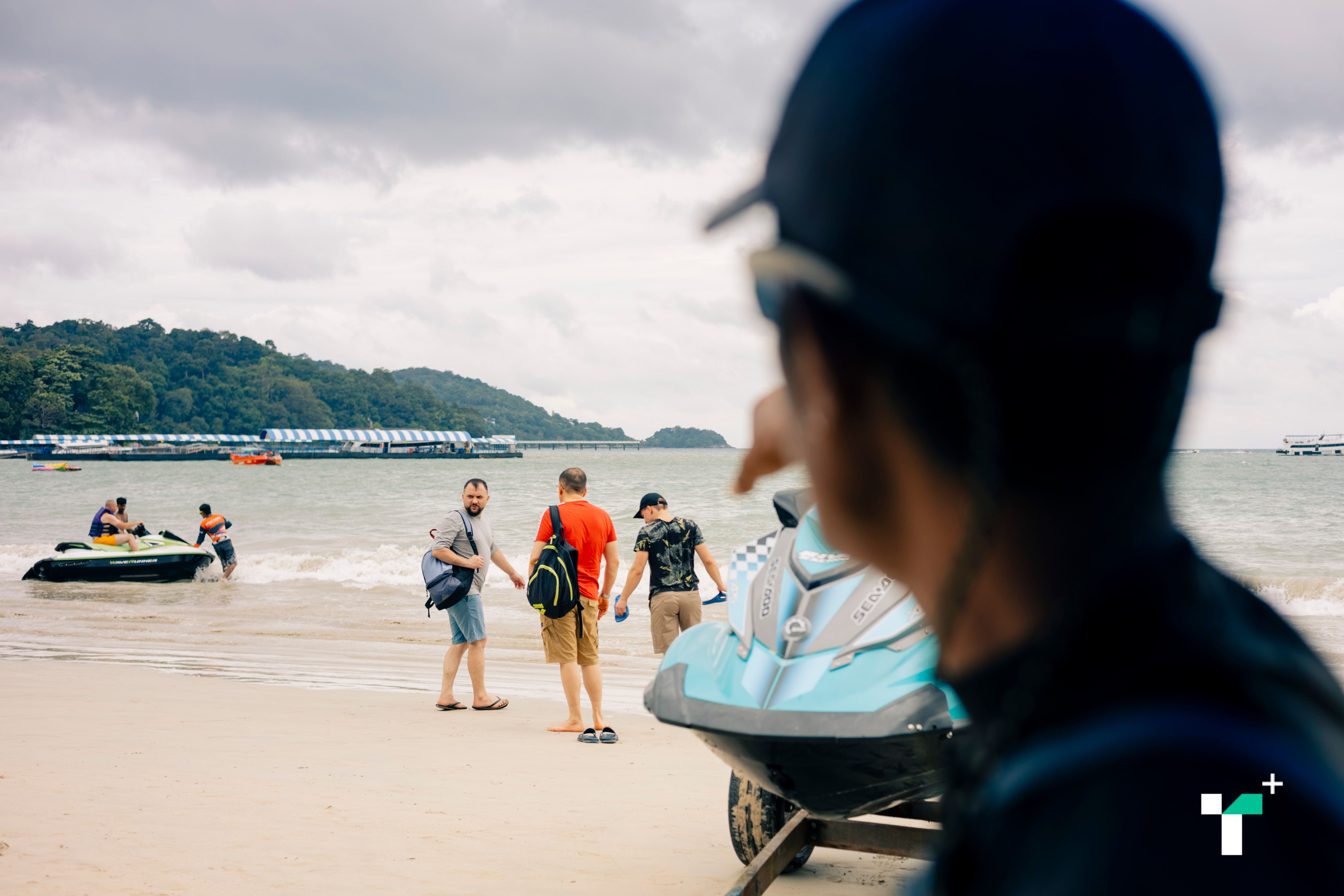
Phi Phi Island, a world-famous tourist destination, is an ideal place to survey public opinion, as it was heavily affected by the 2004 tsunami and hosts about 6,000 tourists daily on average.
Upon docking, we entered Phi Phi as first-time tourists, gaining experiences similar to other visitors.
The pier area was bustling, with multiple paths causing confusion about directions. The island lacks public transport, so walking was the only option.
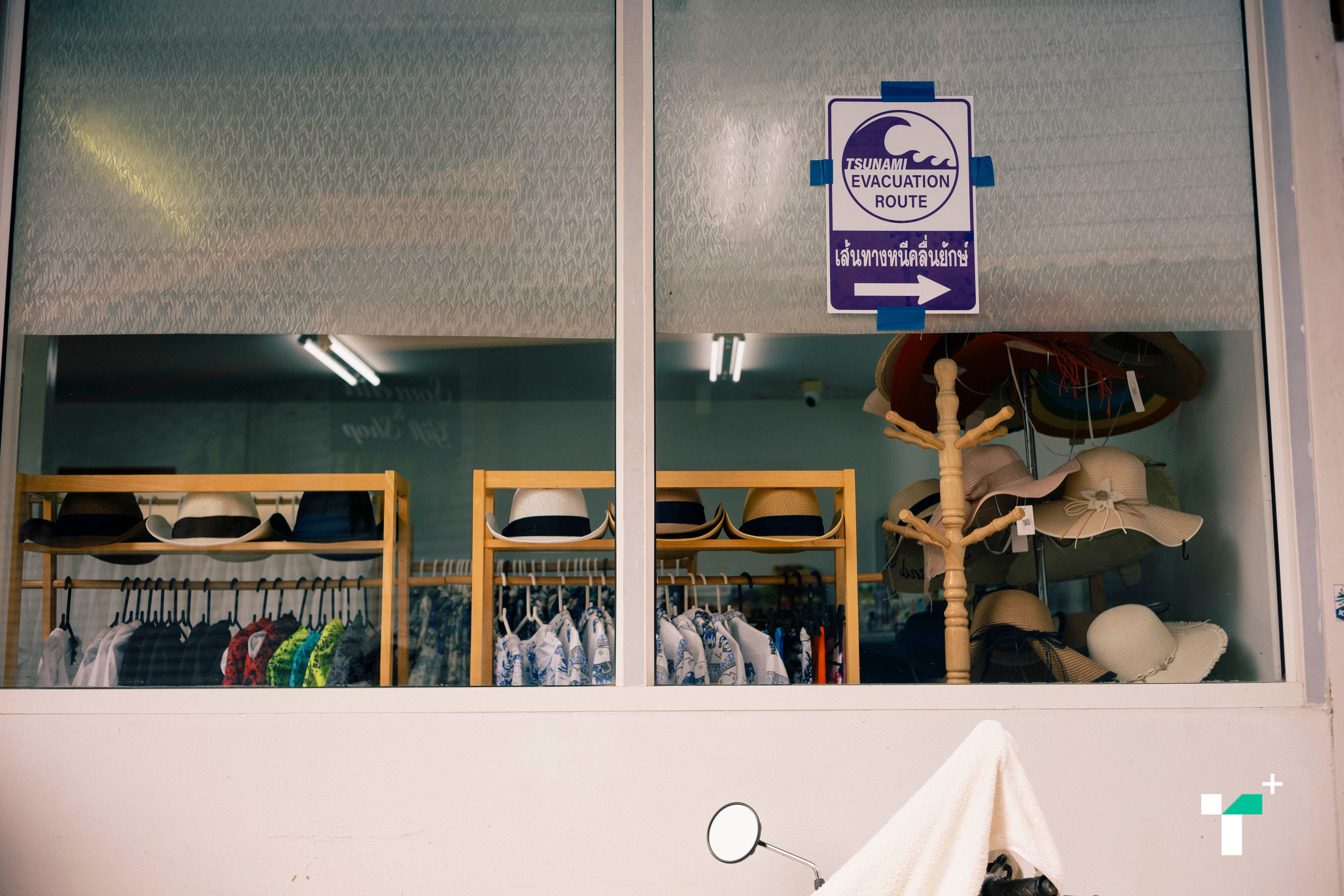
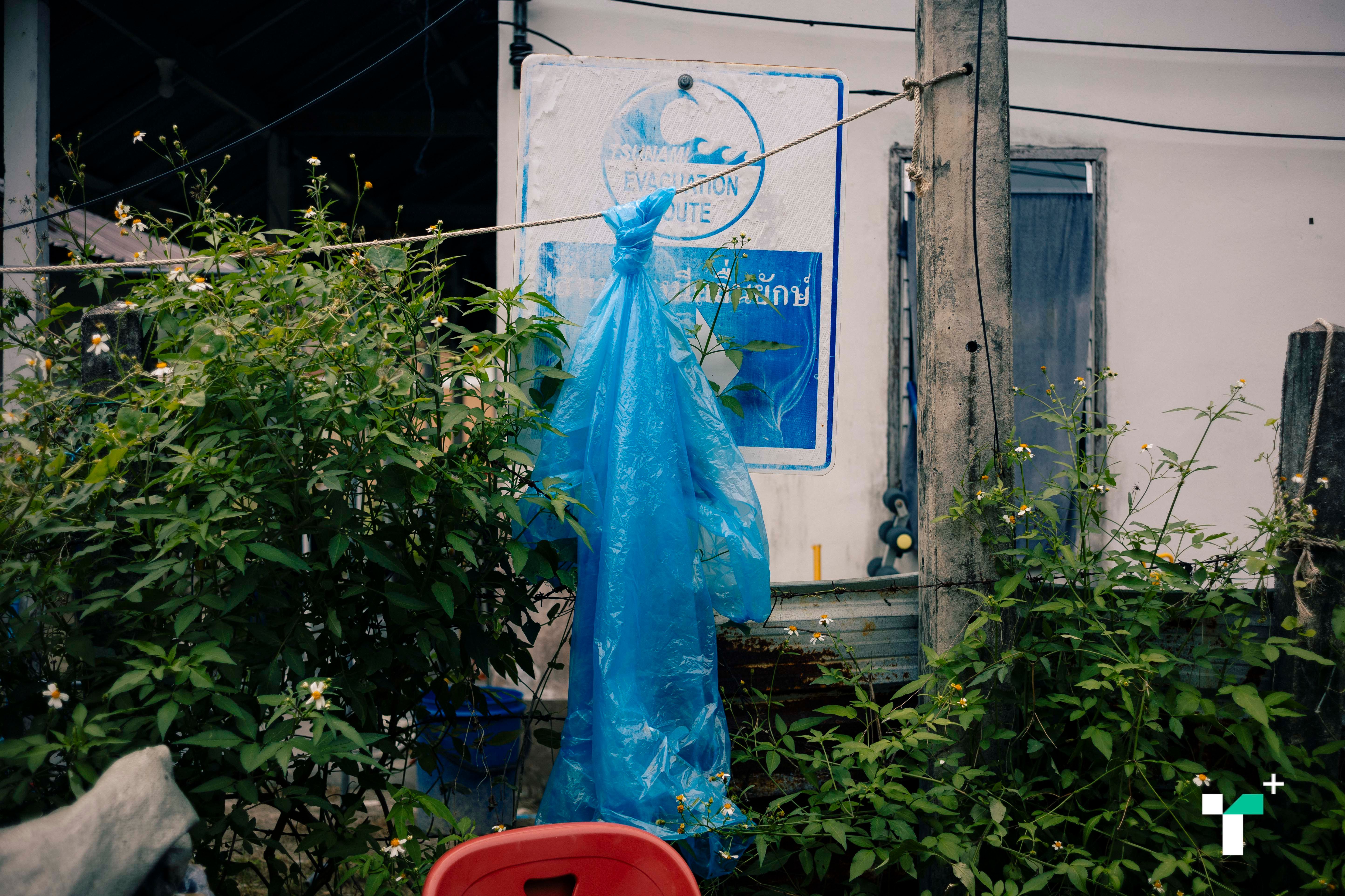
Along the walking routes were tsunami risk warning signs, taped evacuation route markers, and signs indicating tsunami safe zones. A large map was also posted near the pier, which we initially overlooked.
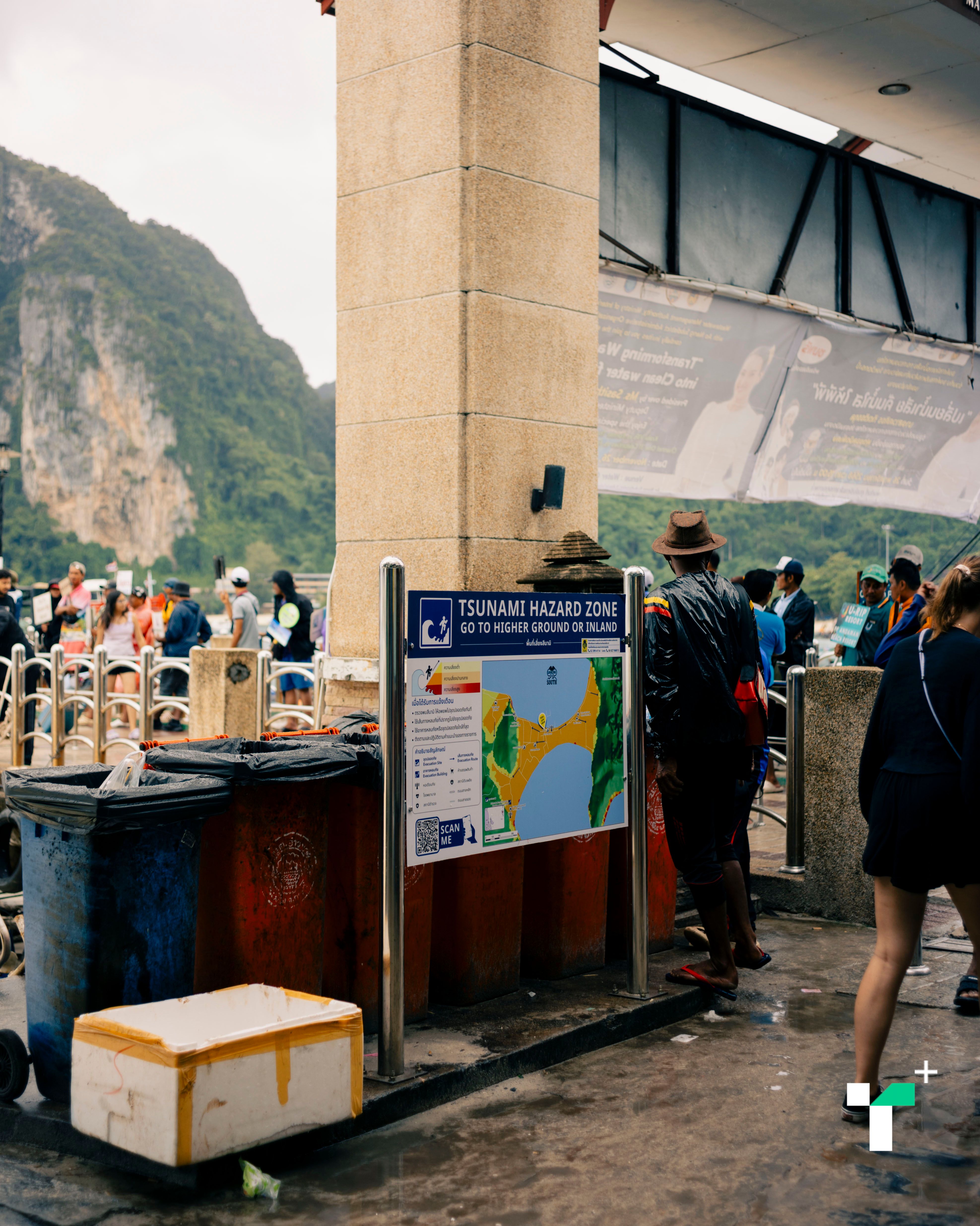
After exploring for a while and trying to walk to the safe zones, we found the distance considerable for walking; some roads were narrow with steep stairs uphill. Evacuating many people simultaneously could cause congestion. Furthermore, safe zones were obstructed by trash and vegetation blocking escape routes.
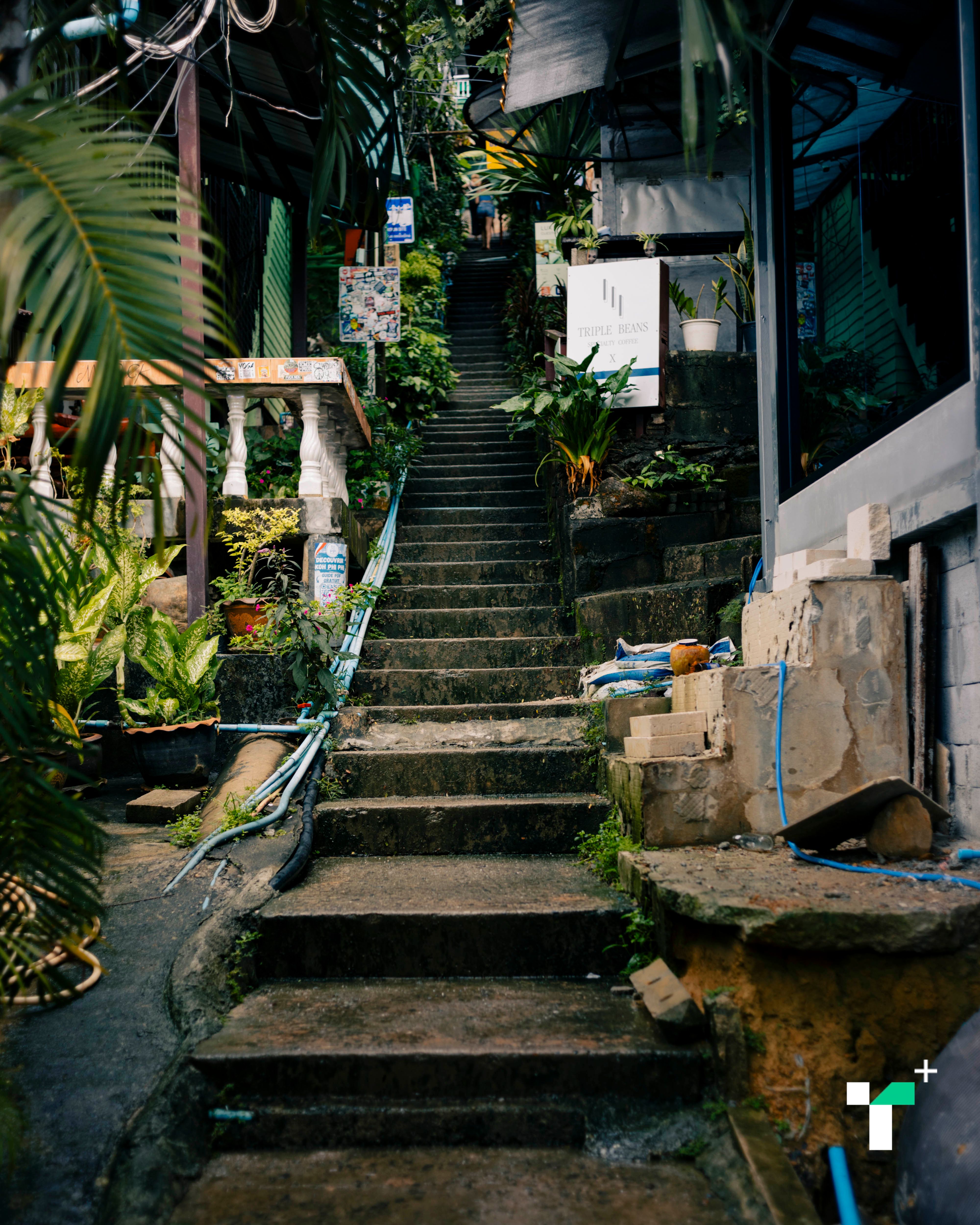 Stairs leading uphill to the viewpoint
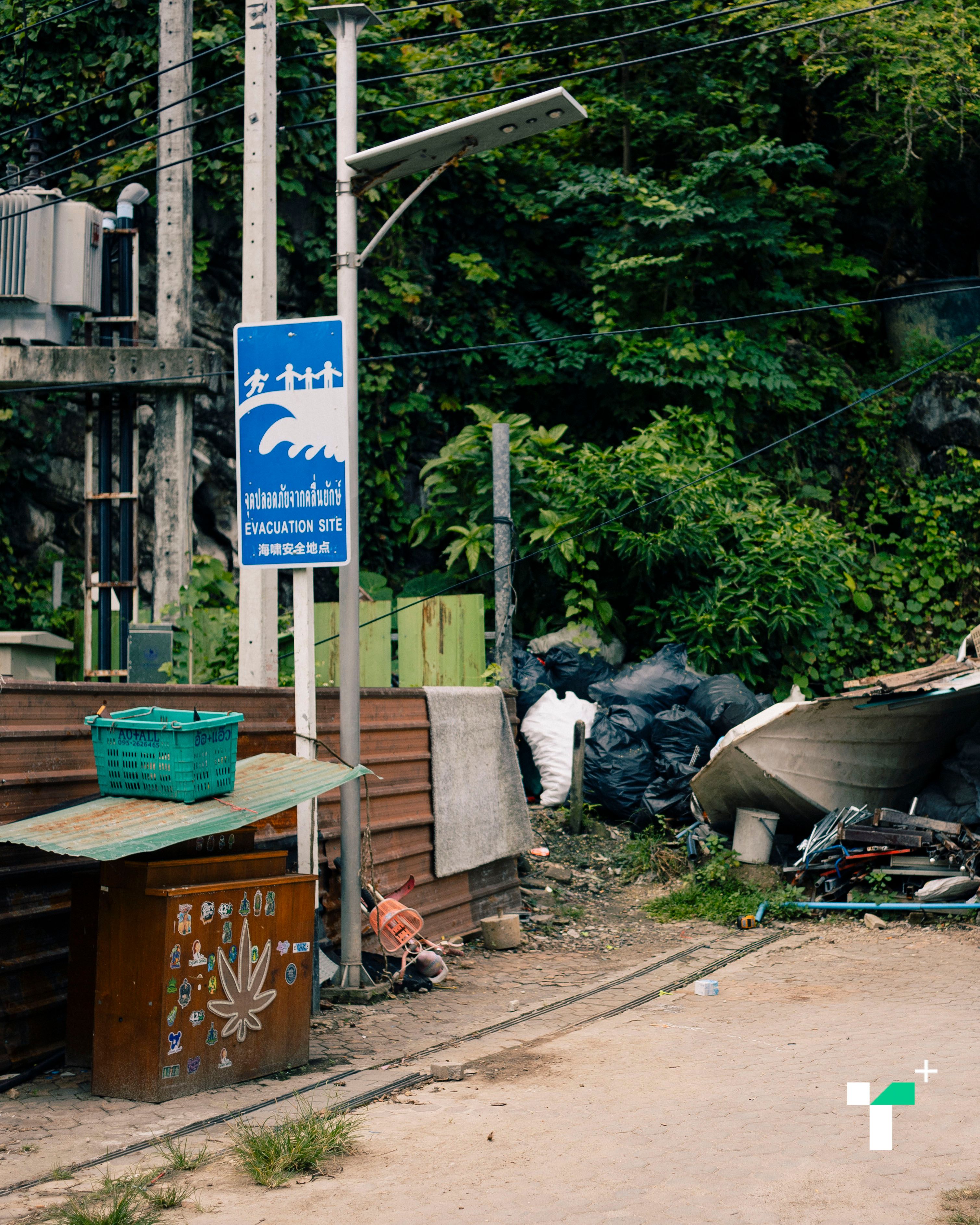
Safe zone
Although we know the term 'tsunami,' entering an unfamiliar area left us unsure how to survive there—such as which path leads where, locations of safe zones, emergency contact numbers, or whether our hotel is near a safe zone. Without a tour guide, how could one help oneself? Foreign tourists’ experiences vary; for example, Japanese tourists are more knowledgeable about tsunami survival due to their country's frequent similar events, while those from landlocked countries may be unaware of tsunamis.
“I know about tsunamis in my country, but I didn’t know there were tsunamis in Thailand.” Deepthi The 30-year-old Indian tourist told us this on the beach near Ton Sai Bay pier after arriving at Phi Phi the day before, her birthday, with four friends.

Deepthi added that disaster education exists in schools in her country but is not practiced seriously afterward.
“We do have evacuation drills, but most people don’t pay much attention. I think my area in India (Bangalore) is not very disaster-prone, though other regions may face higher risks.”
“I think Phi Phi has many tourists; having clear evacuation signs or emergency contact numbers would help a lot. Maybe there should be more discussion about this, such as guidance from tour guides,” said Deepthi.
Deepthi said there was a guide on the tour boat, but she received no tsunami-related information. When asked if she knew the evacuation route uphill, she replied, “No, I didn’t even know which way the stairs went.”
She noted that she hadn’t thought much about tsunami risk, even though she knew tsunamis had occurred before; she didn’t expect one to happen now.
Similarly, Rene-Pascal The German tourist waiting at Ton Sai beach felt there were no signs indicating a tsunami threat currently and that disaster education at German schools made him less worried.
Conversations with both individuals revealed that although they had basic evacuation training, an important issue remains the communication of instructions during disasters in the local area.
“I can’t recall where the evacuation signs or shelters are. If you ask me, I wouldn’t know where to go.” Eduardo Rodriguez The 40-year-old Finnish tourist told us this while resting on the beach at Loh Dalum Bay, opposite Ton Sai Bay, Juri Kinnunen his companion.
(From left) Juri Kinnunen and Eduardo Rodriguez
Eduardo said he knew about the 2004 tsunami because many news reports covered it extensively and information is available online.
“I’m not worried about tsunamis because it happened once already. It could happen again, but no one knows when.”
“If it happens again, I think there should be clear instructions on where to go, what to do, and where to escape.”
Eduardo explained that Finland is very safe from natural disasters like tsunamis or volcanoes, as it has none. However, due to proximity to Russia, war concerns dominate, so disaster drills are not common.
“Schools do teach about disasters, but not daily or through special courses.”
When asked to guess where to evacuate on Phi Phi, Eduardo thought there would be buildings to shelter in, while Juri thought running up the hill was best. Both options are valid: the island has designated shelter buildings, and reaching the hills saved many lives during the 2004 tsunami.
 Tsunami shelter building on Phi Phi Island
Kaya-Suparat Ngangkan The 46-year-old manager of Areeda restaurant is a survivor of the tsunami 21 years ago, having escaped to the hills. Kaya recounted that day:
“I was 26 then, running our family beachside restaurant that served tourists. We didn’t really understand tsunamis or earthquakes. We worked as usual. The sea was at normal beach level until about 10:30 a.m., when suddenly the water level dropped very fast—normally tides change slowly over hours, but this time it dropped within 2-3 minutes.”
“Some customers went out on speedboats, but those boats got stranded on the beach as water receded. Looking at the other side of the beach, I saw waves rising and crashing repeatedly. We still didn’t evacuate, and helped move tables inside as water rose to ankle level.”
“Those who noticed and were scared started running uphill. I wasn’t scared yet and watched the situation because Ton Sai Bay is like a bowl where water doesn’t form big waves but rises steadily. On the opposite side, Loh Dalum Bay has shallow water with large waves. When water rose, chairs and tables started floating, and I knew something was wrong, so I ran uphill. Before that, I stopped to open a friend’s room to take valuables since there were no banks then and we kept cash. While running uphill, I called out to my colleagues to come up because I sensed danger.”
Kaya said water rose about 3 meters on Ton Sai Bay side, making hill evacuation safe, but on Loh Dalum Bay side, waves reached about 5 meters.
“When water receded, I went down to check on relatives in case anyone was left behind but found the beach area devastated and foreign tourists trapped in their rooms due to rising water, some injured. After family regrouped, we went back up the hill. A creek separated parts of the hill, so we were warned to climb higher as water from the other bay would come again. I had to swim across about 3-4 meters of creek, injuring my hand on debris.”
“After we reached the hilltop, water receded on Ton Sai Bay but waves returned on Loh Dalum Bay side, alternating back and forth. About 50% of homes were damaged by waves from the opposite side.”
“We stayed on the hill from about 11:30 a.m. until evening, too afraid to come down. We didn’t know what was happening and had no phone signal. Phones then were basic Nokia models without LINE or Facebook. The second time we climbed the hill, people rushed separately, so we gathered at a viewpoint near my uncle’s coconut farm.”
Coconut tree trunks still standing after the tsunami waves
“Around 5 p.m., we grouped the elderly together, but had to climb a very steep hill on the other side using ropes to pull ourselves up about 200 meters. At night, we had no lighter and were wet. A young male employee went down to find food after water receded 2-3 hours. Luckily, canned food was available because the homeowner’s aunt had packed supplies for her pilgrimage trip in January. It rained that night, so we used tarps for cover.”
“We stayed one night and around 8 a.m. next day took a speedboat to Krabi. We didn’t know what had happened until we saw news reports about the tsunami, then understood.”
“One tour company had no deaths because their customers were Japanese, who had more tsunami experience. When they saw the water recede, they told the guide to warn everyone to run uphill. Western tourists didn’t understand and many died.”
Houses not damaged by waves still remain today
After the disaster, Phi Phi Island required years of restoration. Kaya said all survivors returned because ‘this is home.’ When people resumed work, government agencies promised disaster warning systems.
“But the more warnings, the more scared we became because we had experienced it. Two years after the event, warnings sounded loudly around 4-5 p.m. and were frequent, but we didn’t know if an earthquake was real. Too many warnings caused either fear or complacency.”
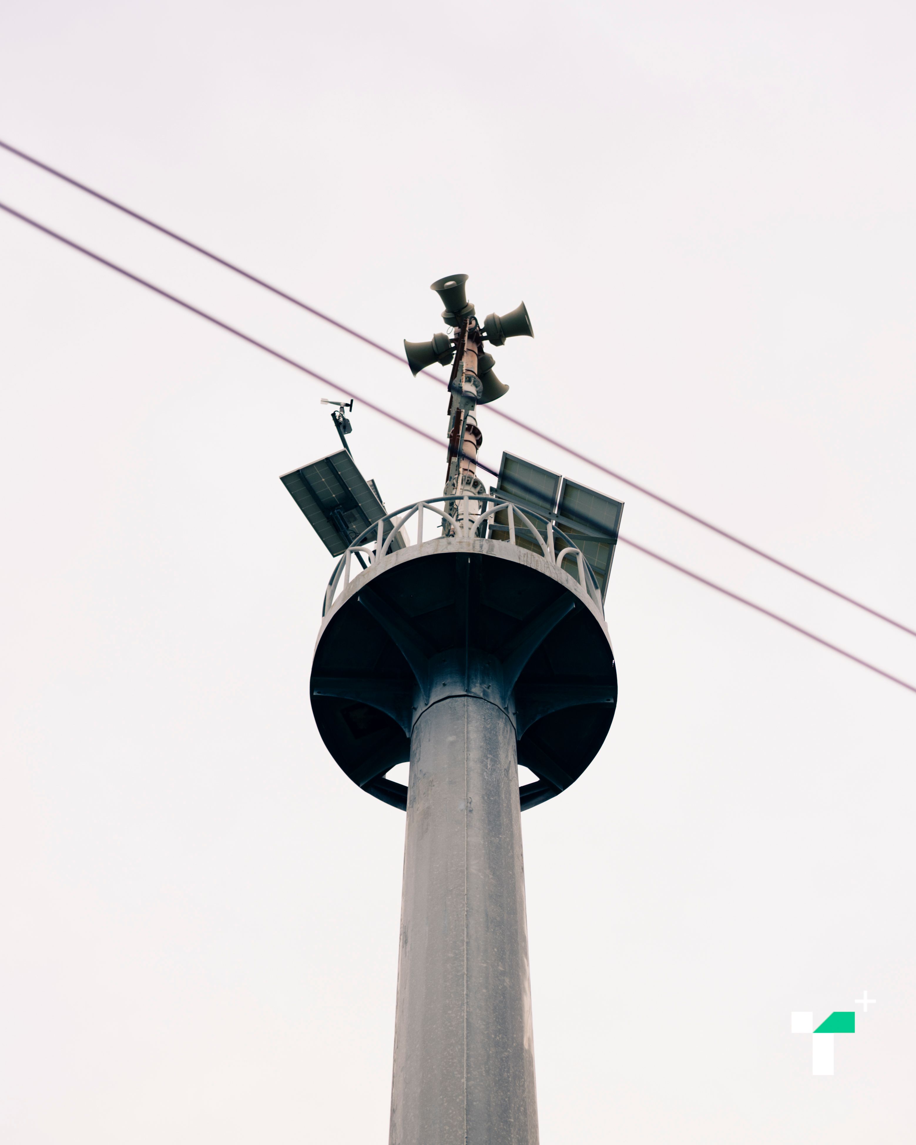
Warning tower
“The government initially had no experience with warnings, so alerts were just sounds without information about what was happening. Daytime warnings were manageable, but nighttime ones scared families with elderly and children. Warnings are good but we want more info on the situation. Now warnings have improved with government experience and better access to information.”
“When rumors said a tsunami might occur in July this year, we were anxious. As Muslims, we avoid believing predictions as it contradicts our faith. We don’t know what day will come. We must be careful with news. We downloaded tsunami alert apps and prepared because many employees work here. We clear trees and trash on hill paths to keep escape routes open.”
The rope Kaya tied for climbing the hill
Kaya showed us the evacuation path she helped establish on Areeda restaurant land, including a self-made escape road and a brown-roofed house with climbing ropes for emergencies.
“That house is empty, built by us in Areeda’s area. We have an evacuation plan within our group. Sometimes tour guides ask about escape routes, and we provide the road to the hillside.”
The reason for building their own escape route is that the original tsunami escape path is on the other side of Areeda. The local administrative organization (TAO) blocks roads into zones between landowners or central roads (brick roads). Roads on private land aren’t built by the TAO. Thus, Areeda’s concrete road was self-constructed.
“The tsunami escape point is in another zone with the island’s main gathering point, which may be cramped. I’m unsure if signs are damaged or missing since they were installed long ago and not maintained. Tourists would find it difficult to escape there because roads are narrow, surrounded by sea on both sides. Running to the hills is far. But in our area, if something happens, we can tell customers to use our road because the market area is congested and news doesn’t reach there.”
Regarding current disaster warnings, Kaya feels they are still inadequate. For general news, information can be found elsewhere and is more accessible, such as apps that notify before official government alerts.
“Recently in Krabi, a 2-3 second strong earthquake occurred on the Marui fault a few months after a northern Thailand quake. Relatives in Krabi called to warn about flooding, and we checked for alerts. Within an hour, cell broadcast messages identified the quake zones. Cell broadcast makes information faster.” Kaya concluded.
Hearing Kaya’s story gave us deeper insight into Phi Phi’s lifestyle and disaster response, reflecting a community familiar with its terrain and past experiences.
One observation is that multiple agencies oversee Phi Phi, including the Marine Department, Department of National Parks, Office of the Special Tourism Zone Policy (Public Organization), and local governments, dividing responsibility and complicating disaster preparedness development, while lacking community involvement.
Although community preparedness has improved with clear measures, discussing tsunamis remains a sensitive issue for the island’s tourism-dependent economy.
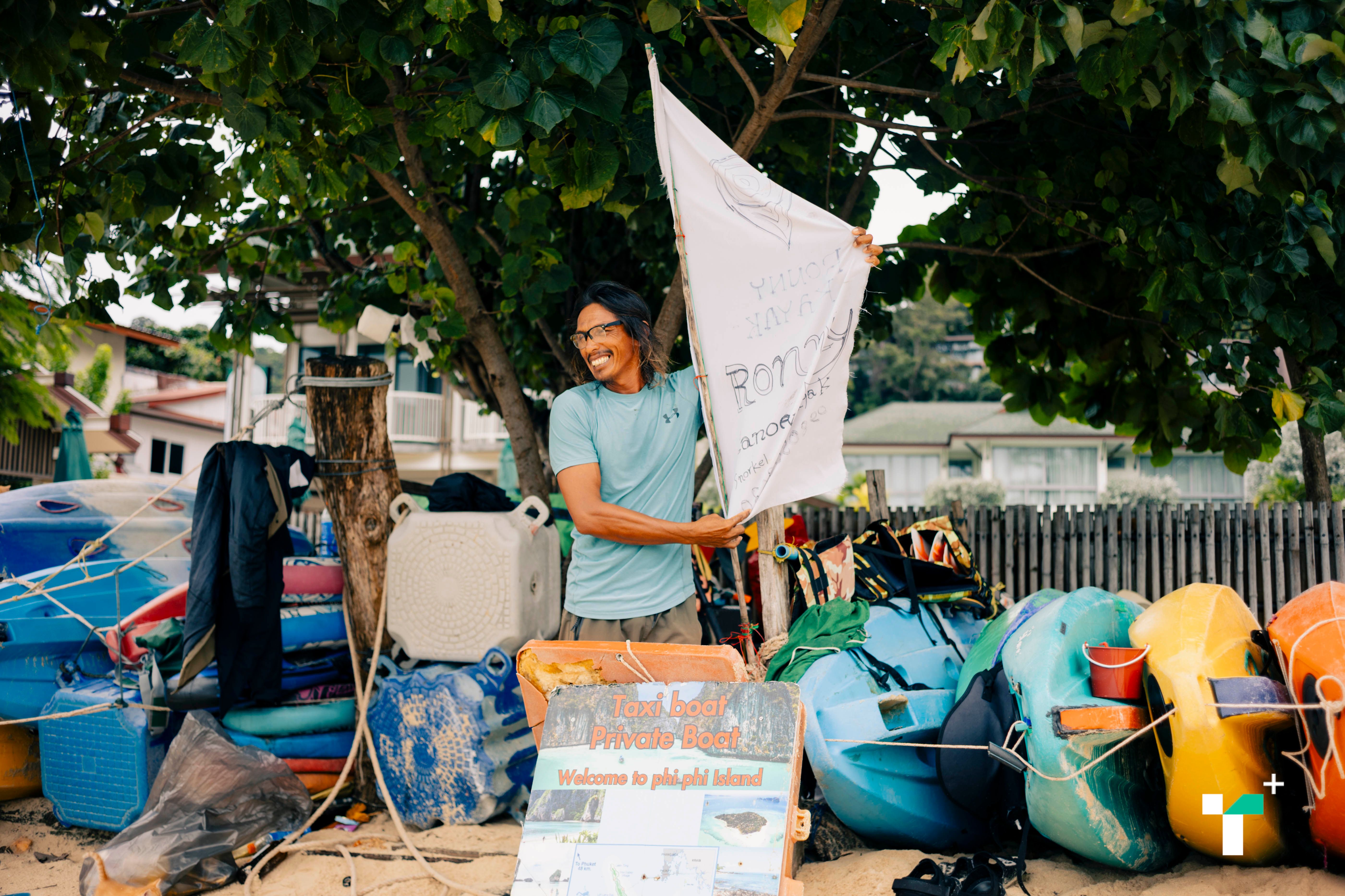
“We rarely talk about tsunamis because tourists come to relax. Sometimes when I mention the losses or scary aspects, people get frightened and the atmosphere suffers.” Bangron-Yothin Thongkham The 47-year-old owner of Ronny Canoe Kayak shared this.
Bangron explained that tourist safety focuses on life jackets for all and staying near the beach, which is safest since people have 5-10 minutes to retrieve belongings. Staying in the market is dangerous because water rises quickly.
“Being at sea is safer; at worst, boats might capsize but holding onto them prevents harm. Inside buildings is risky and requires siren warnings.”
Bangron survived the tsunami and recalled that on that day he worked normally from 8 a.m., picked up customers at 10 a.m., then saw water receding, pushing the boat out but water kept dropping.
“We panicked but waited for water to return. Another boat came back to shore, and its passengers warned us the sea was abnormal. We stored boats and rushed home. Many didn’t run uphill but stayed at home and perished.”
“My mother and sister ran home; I followed with my eldest child. I hesitated twice, first thinking it was just a tide, but then ran. At a junction, I hesitated whether to go uphill or home since my wife and young child were at home. Not knowing where my mother went, I chose the hill. I waited for water to recede but debris blocked paths, and I had no shoes. Some tried to go down and were injured. Then another larger wave came; people screamed.”
Loh Dalum Bay beach
“I stayed on Loh Dalum Bay side, but my father cycled from the pier to the market where he was caught by the wave and died. We lost both parents and our business. Afterward, I moved my family to Satun province, handled burials, and spent years processing compensation. It took nearly two years to get a new home. We relocated to a new house on Phi Phi hill, living with limited utilities and hardship.”
Bangron said during COVID when tourists stopped coming, he worked in construction elsewhere but income was insufficient compared to working on the island.

Tourism is vital to locals; thus, discussing or predicting tsunamis is delicate and must be communicated carefully to avoid misunderstanding or excessive fear.
On the other hand, promoting disaster safety measures for tourists remains necessary and requires broader communication.
We contacted the Tourist Police Command about measures to protect tourists. Officials tried to provide information but said data requires formal requests and is not publicly available. Limited access may hinder communication with foreigners.
In emergencies, other agencies provide support, such as provincial Disaster Prevention and Mitigation Command Centers and Tourist Assistance Centers located at major tourist sites like Suvarnabhumi Airport, Chiang Mai, Chonburi, and Phuket.
Basic evacuation procedures—such as gathering points, moving to high ground, and preparation upon warnings—are similar, but tsunami responses vary by location due to bay depth, geography, and urban layouts.
For example, the 2004 tsunami hit Khao Lak in Phang Nga hardest due to shallow beaches causing higher waves and greater damage. Phuket was also severely affected being close to the earthquake epicenter. Phi Phi, between Phuket and Krabi, was impacted after Phuket but more severely than Ranong and Phang Nga, as it is farther from the quake.
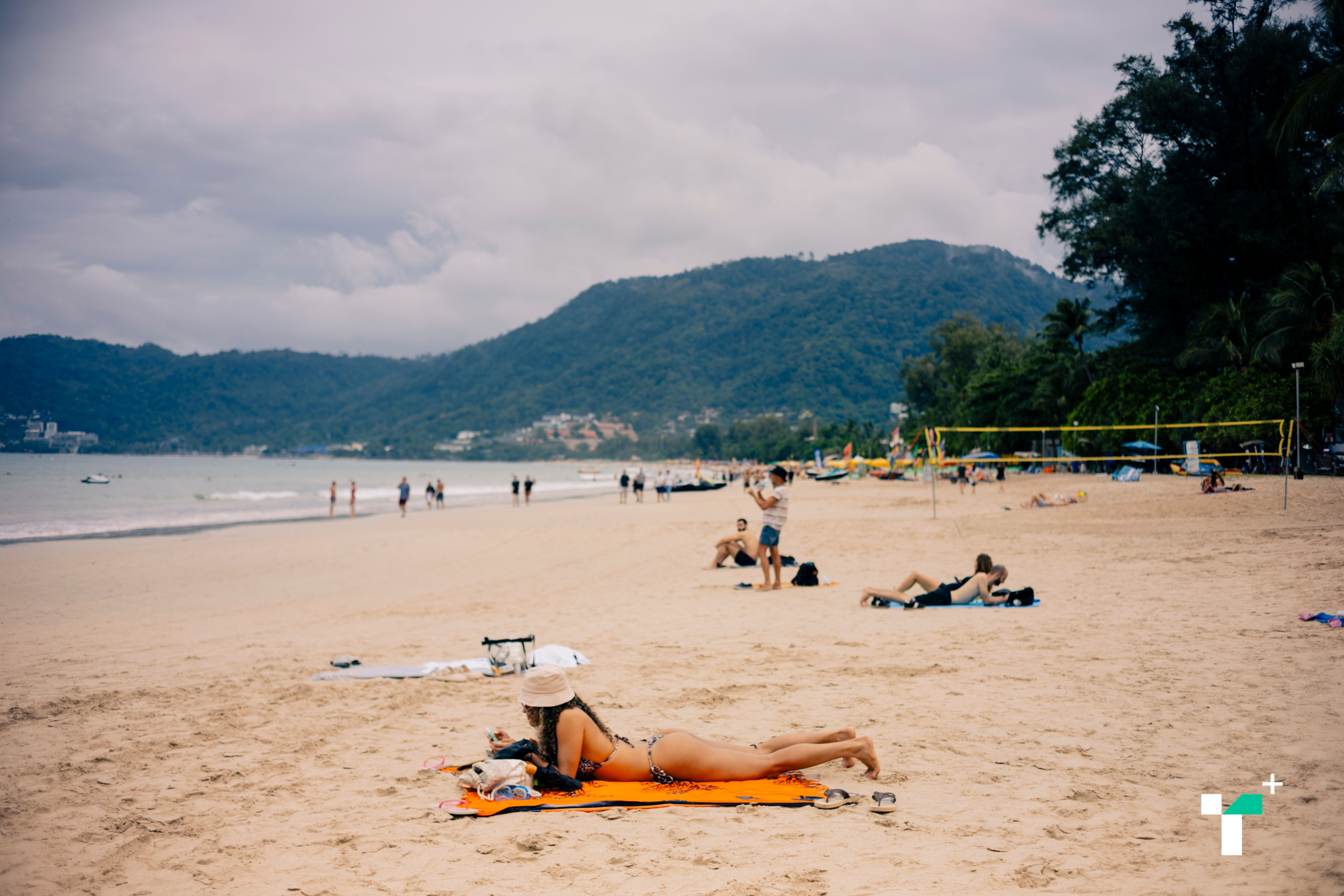
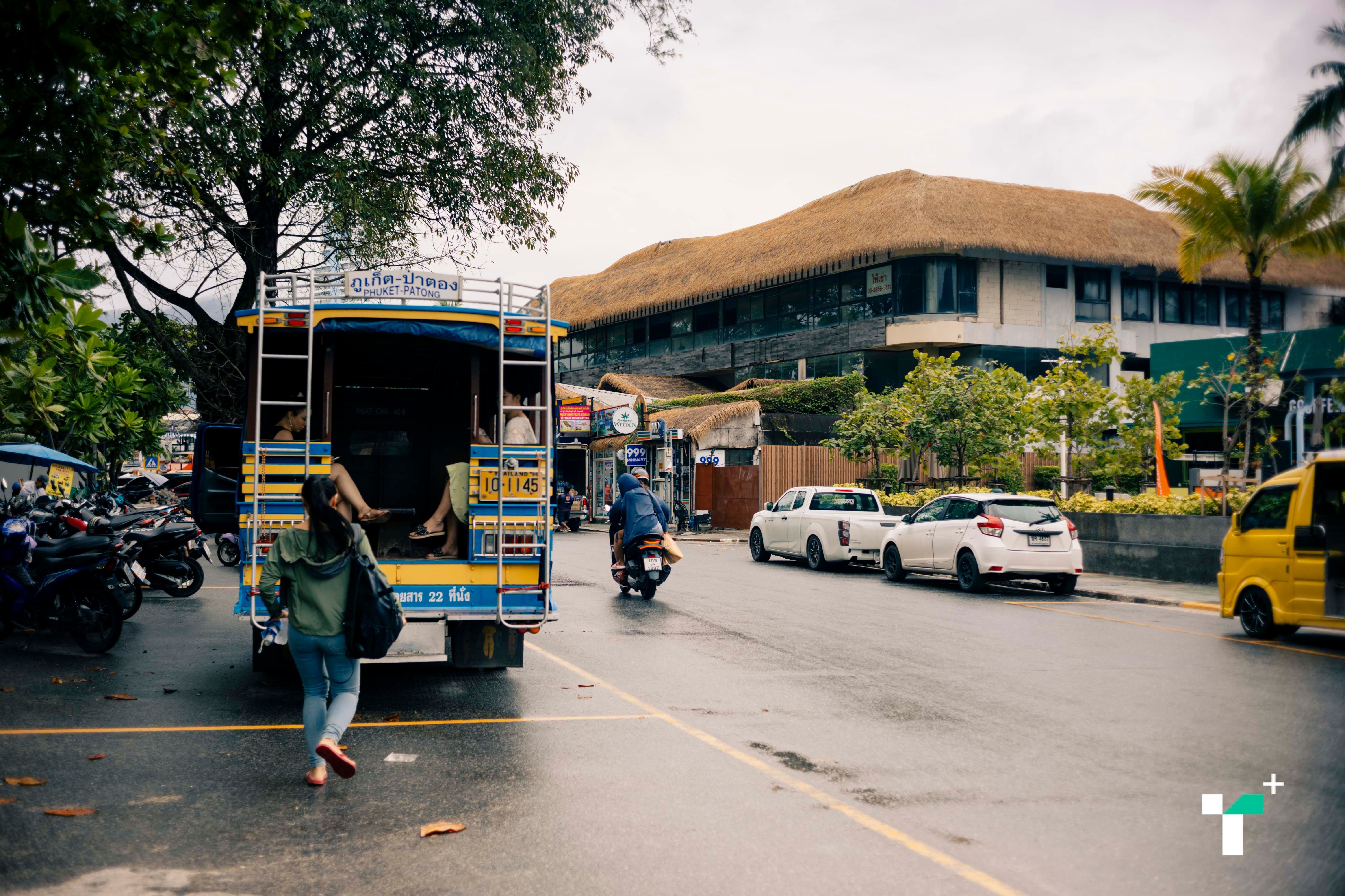
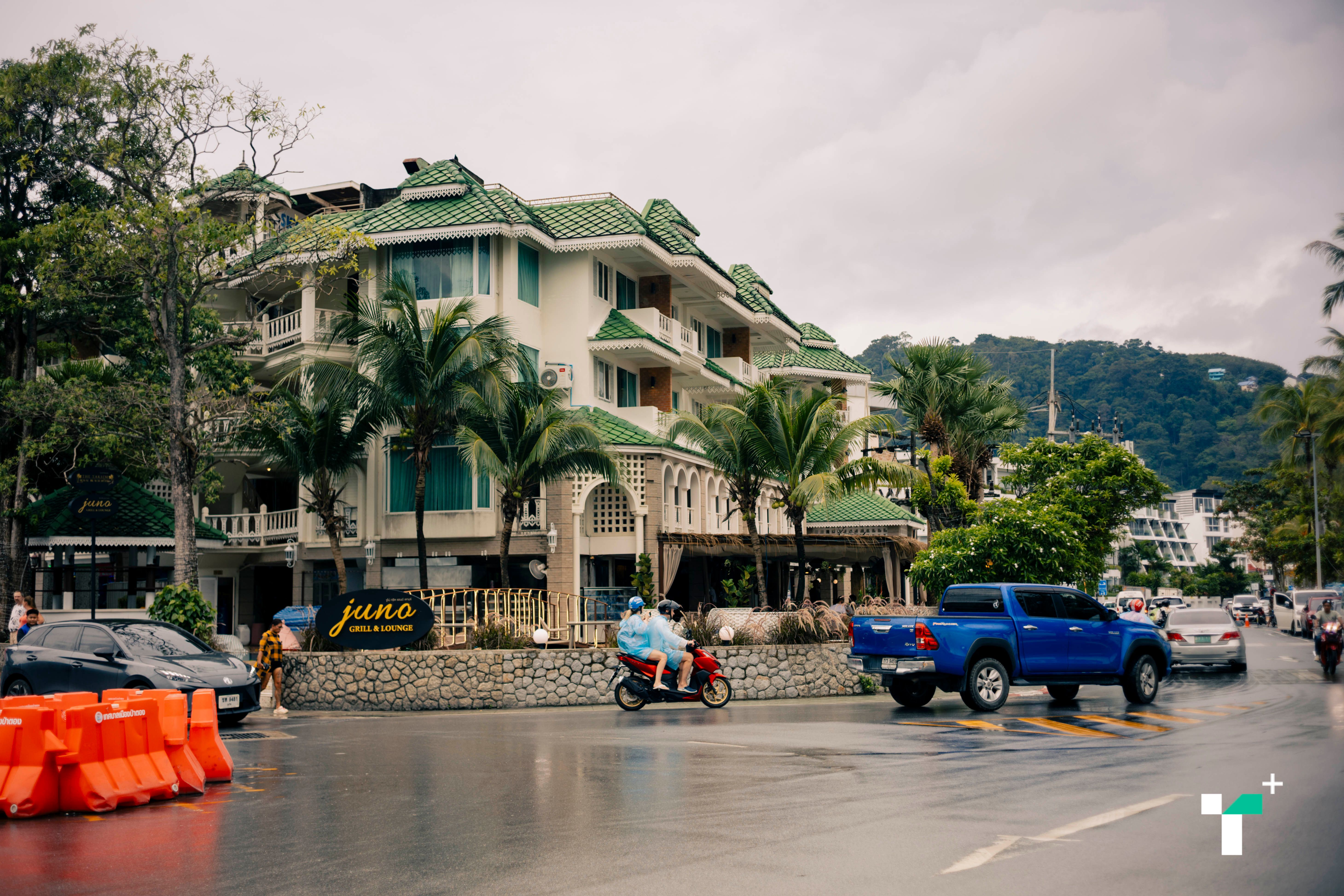
These differences mean assessment and response plans vary in detail. After hearing Phi Phi residents, we wondered how other areas prepare and traveled by boat to Phuket’s Patong Beach, one of the tsunami-affected areas.
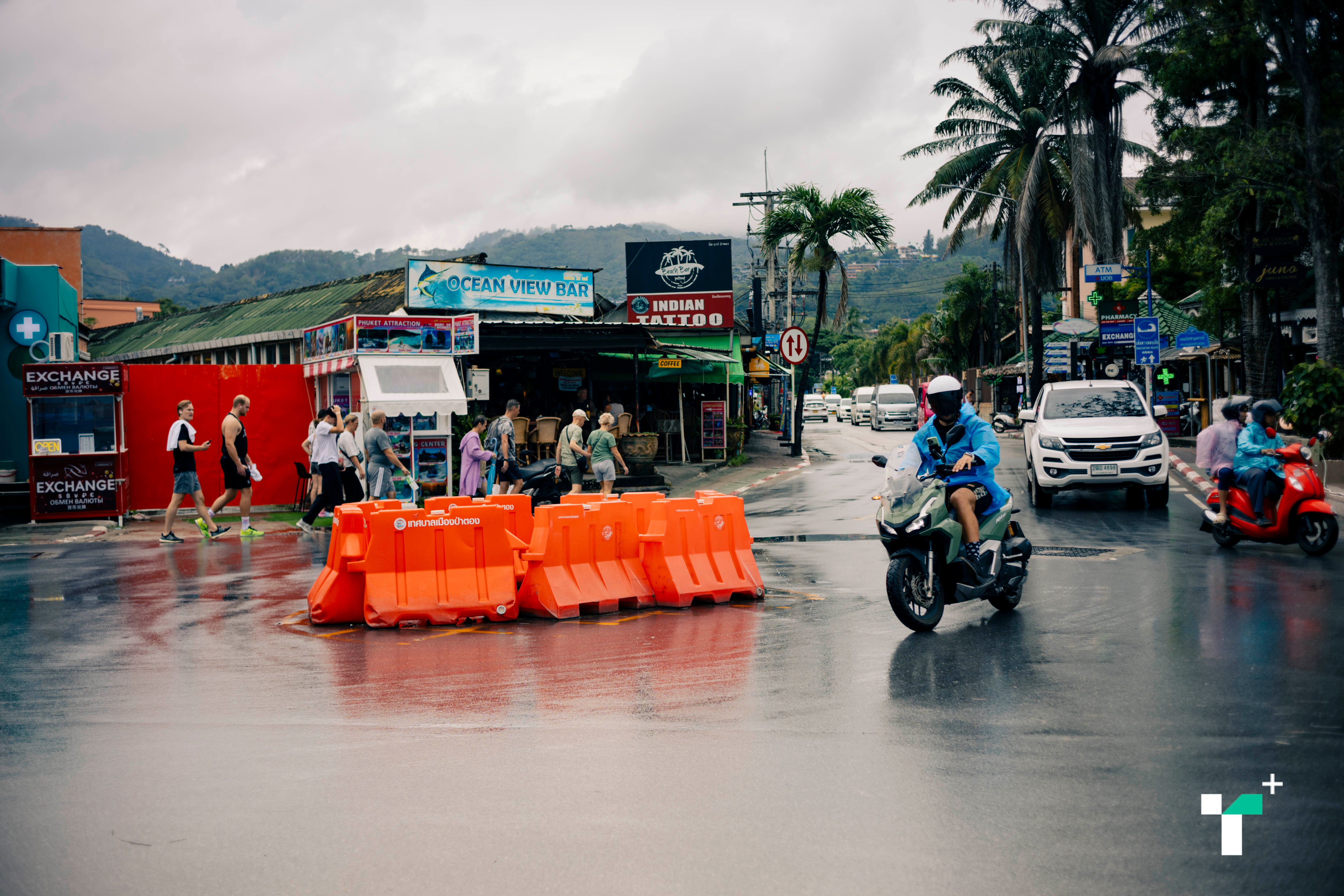
At Patong Beach, wide roads and walkways enable evacuation of large tourist numbers. There are about nine safe zones or temporary shelters, including schools, temples, and mosques. Phi Phi has only two official safe zones.
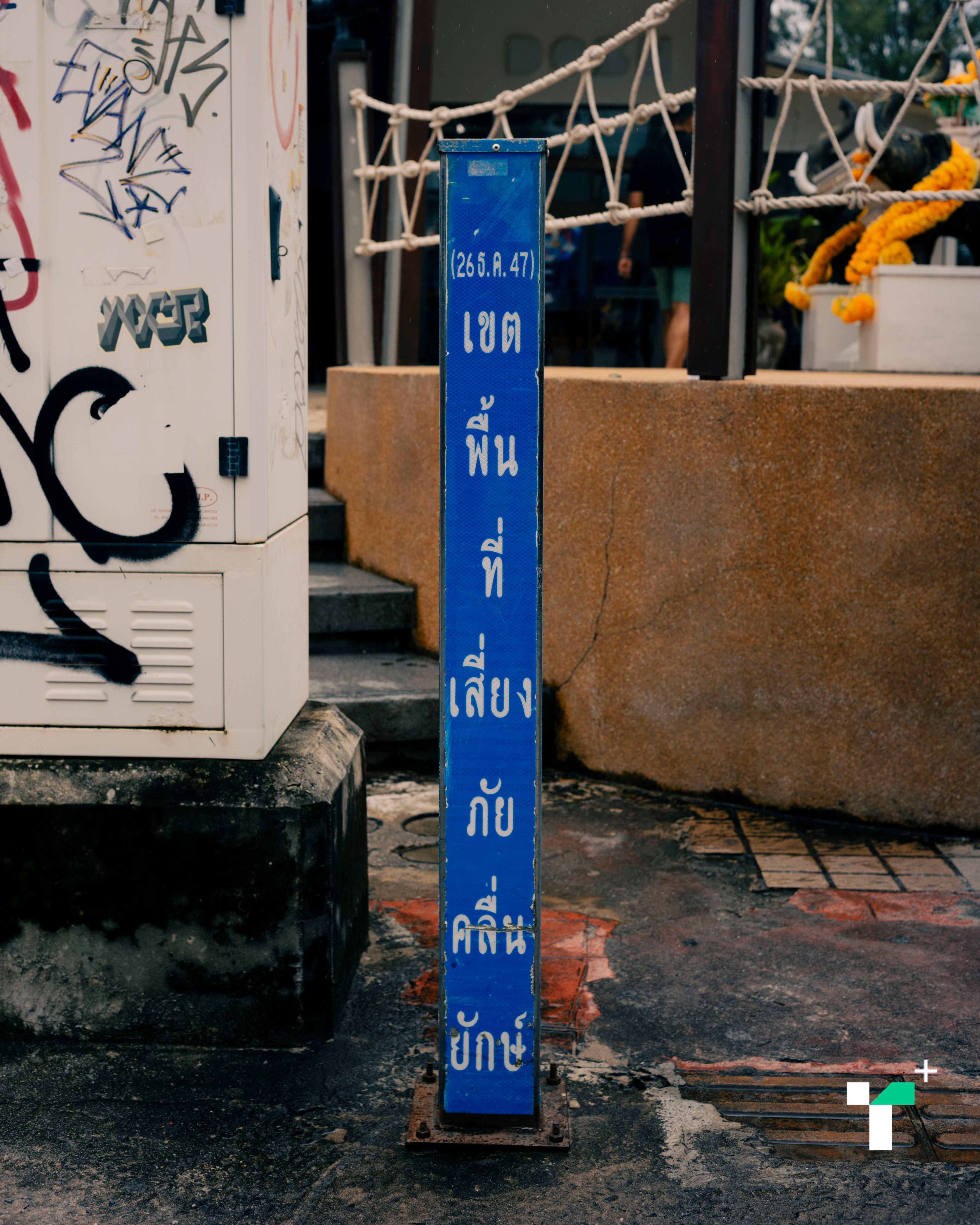
Patong also features tsunami warning signs and blue metal poles along the beach marking hazard zones clearly.

Yet, Alina The 26-year-old tourist from Kazakhstan told us she didn’t know about tsunamis and was unsure where to escape if one occurred, as her country is far from the sea.
“I didn’t know tsunamis happened here, but I’m not afraid.”
Alina said her country teaches evacuation to assembly points for fires and earthquakes, but not tsunamis.
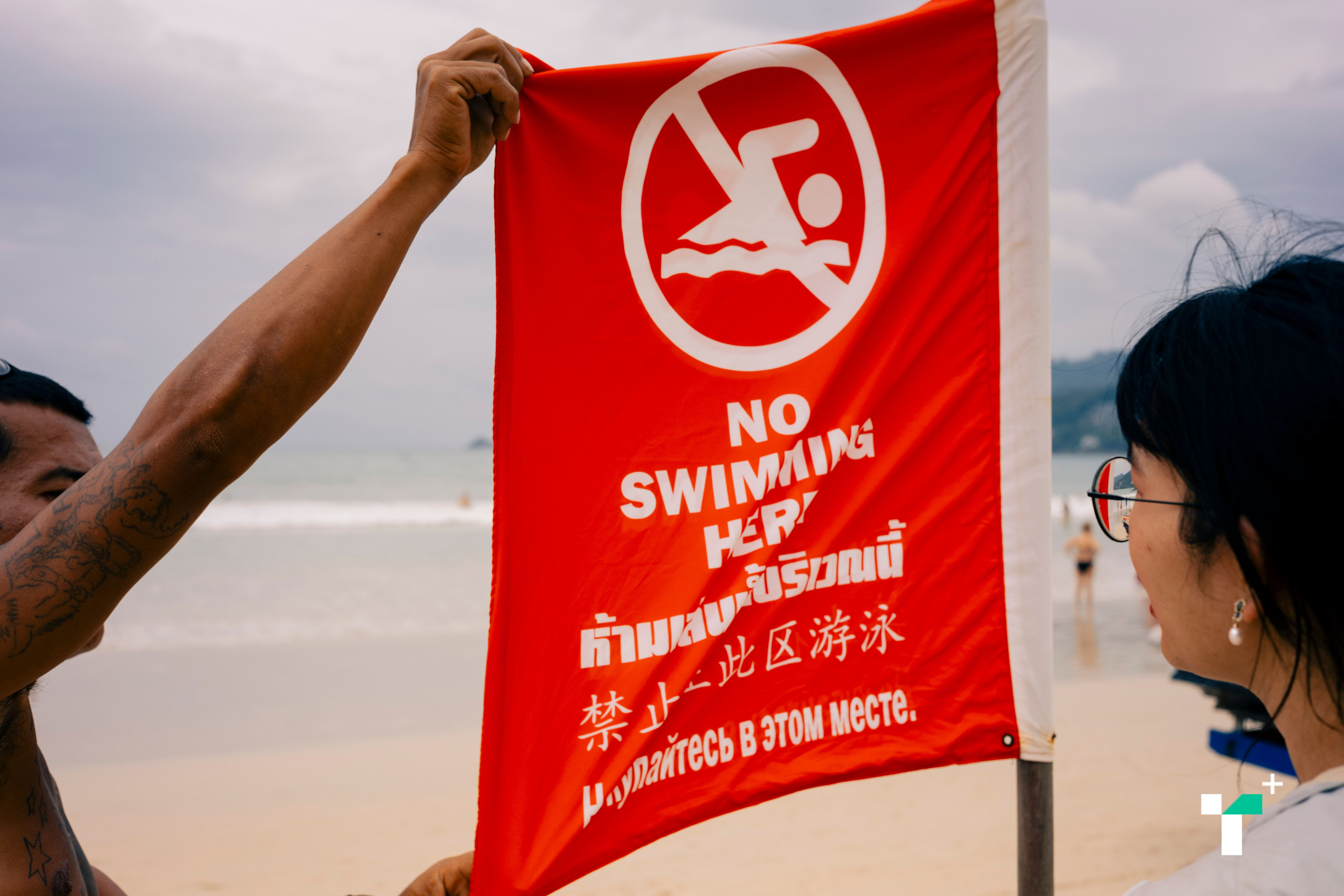
“There should be signs like assembly points and warning flags. At the beach, flags marking swim and no-swim zones confuse me: red means no swimming, but red-yellow means swimming allowed.” Alina explained the confusion caused by flag signals.
When communicating with global audiences, English alone may no longer suffice.
Andrei and Igor Two Russian tourists who cannot speak English made us use a translation app to communicate.
Andrei and Igor said they knew about the 2004 tsunami here and that Russia conducts evacuation drills, but signs in Thai and English are a barrier; they suggest adding Russian language on signs.
“Over 2,000 Western tourists died here; some were fishing when the water receded too fast, and fish hadn’t yet left.”
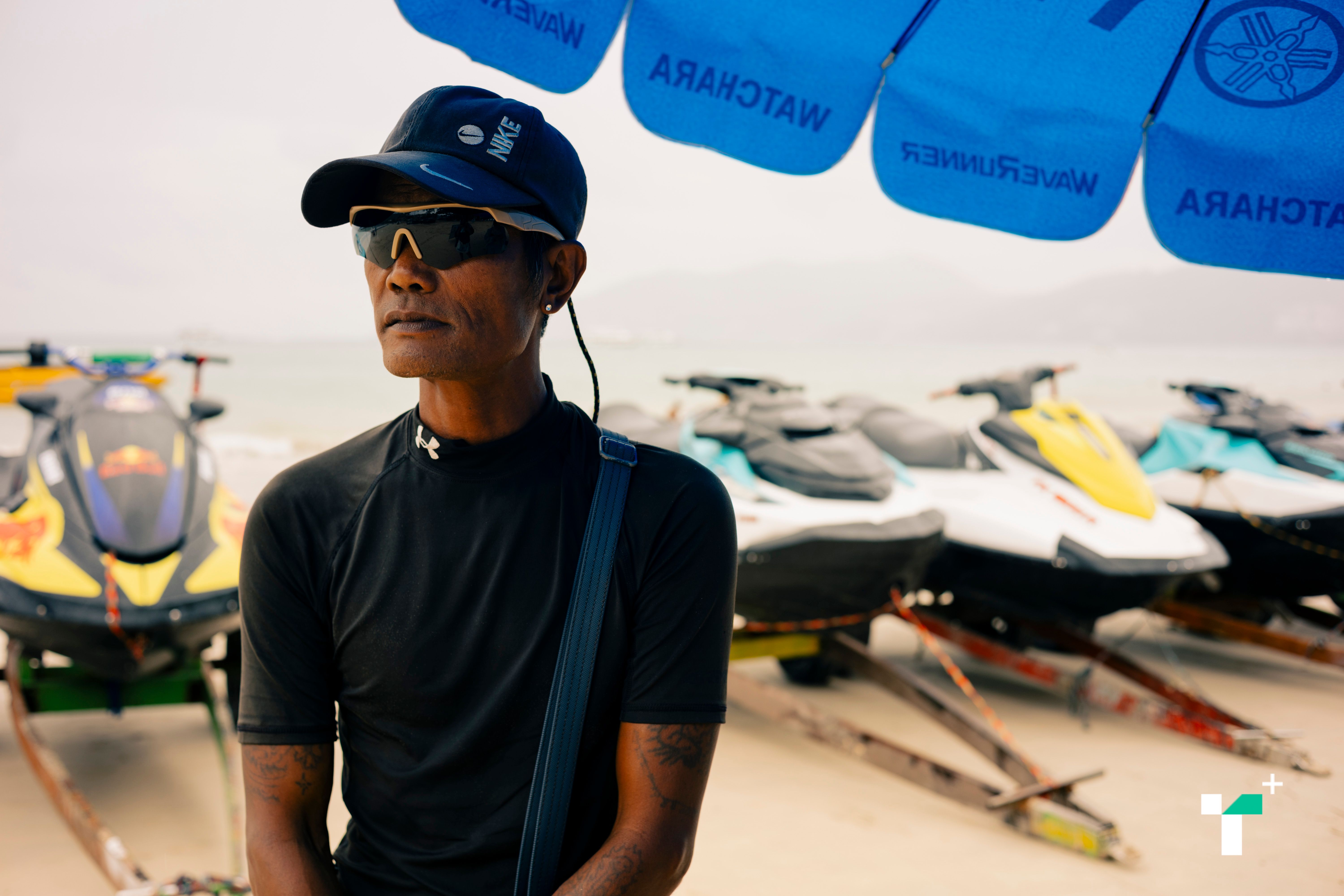
Ninja (alias), a 49-year-old jet ski rental employee at Patong Beach and survivor, recalled that day:
“It was after 9 a.m. The rapid water recession was terrifying. Jet ski workers had many guests. Hotels along the beach were swept away.”
“We saw a wave and ran, leaving vehicles and boats. We met friends and took a car uphill on 50 Year Road, where we helped some tourists. Not many survived. Our friend died trying to rescue others and was never found.”
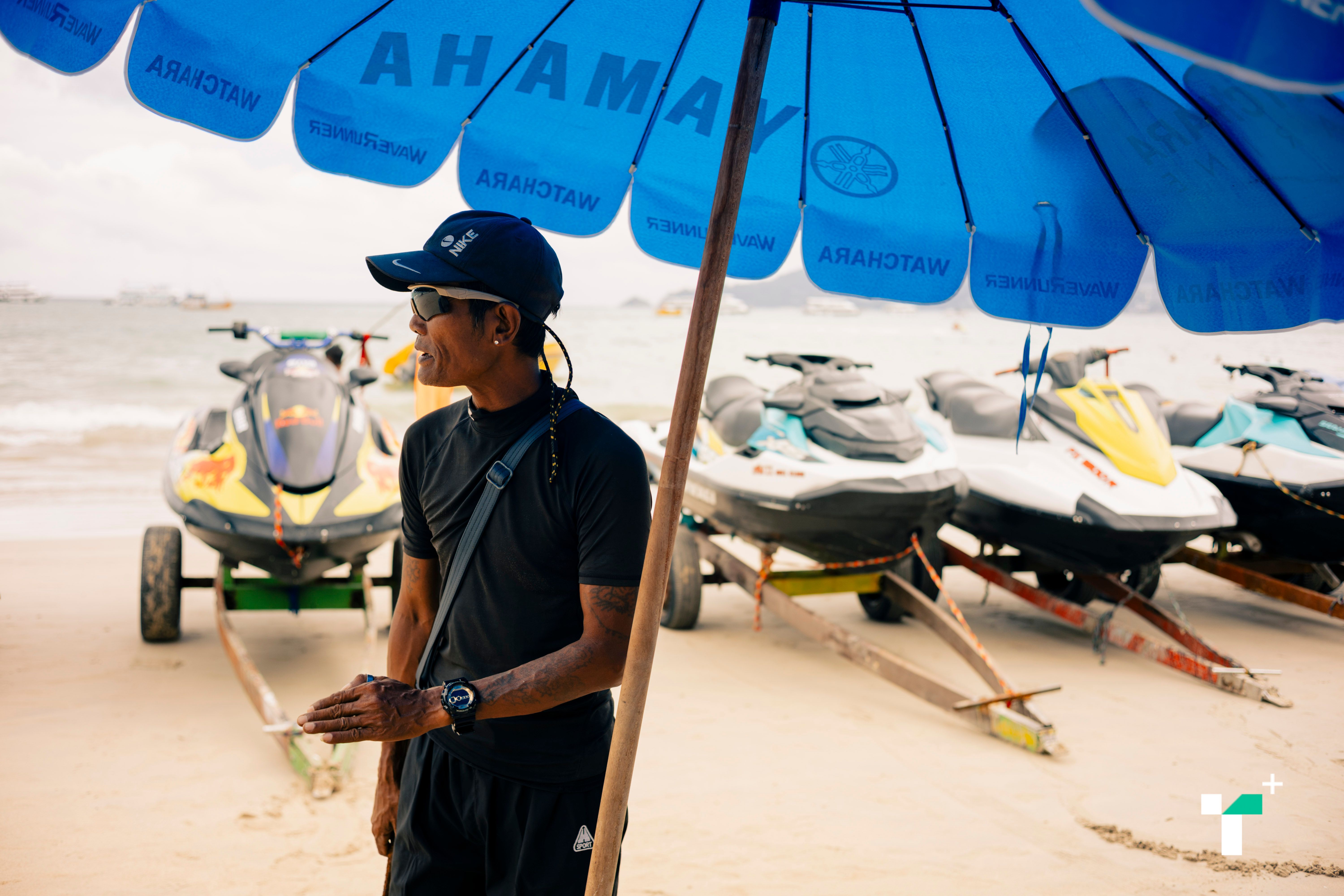
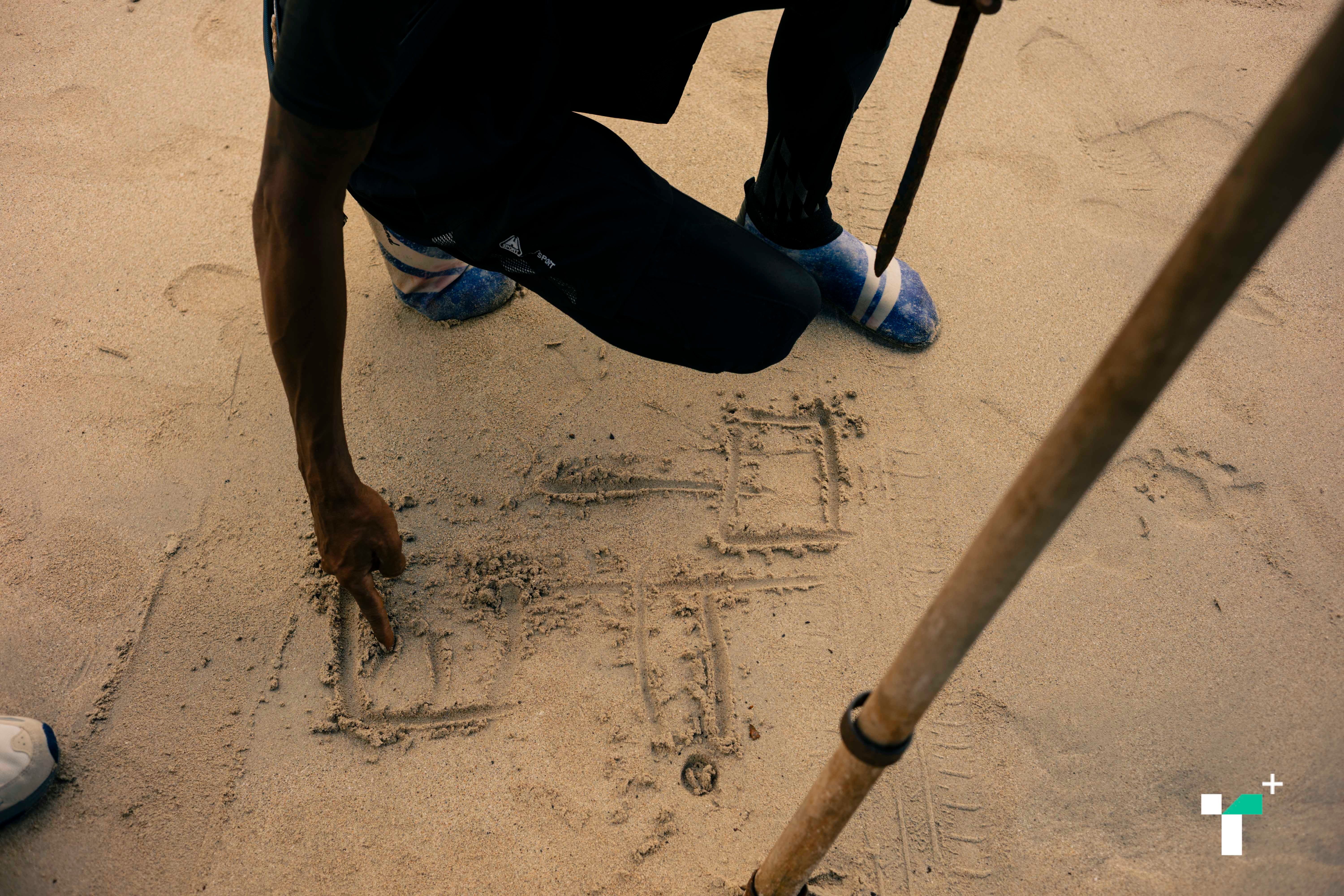
Ninja showed us his escape route on a map.
He said there were no warning signals and no knowledge of tsunamis. The sea was blue at first but darkened. The first wave came, followed by second and third.
“Now preparations meet standards. The municipality does well. Safety exceeds needs. Before, evacuation drills were frequent to the point of annoyance. We’re cautious now, knowing procedures. Sudden events like alarms make us run, but that’s too much. Running repeatedly disrupts work and causes anxiety about when it will happen.”
“Sometimes tourists panic and run, injuring themselves—broken ribs from crashes or broken arms climbing roofs—but nothing happens.”
“That event gave us experience, but things might not be the same. Then we had only Facebook and email; now social media spreads many false alarms, like a tsunami warning at Patong that never occurred, causing trip cancellations.”
“The reality is being onsite reveals the wide impact on vendors, workers like us, and hotels, while media hype exaggerates.” Ninja concluded.
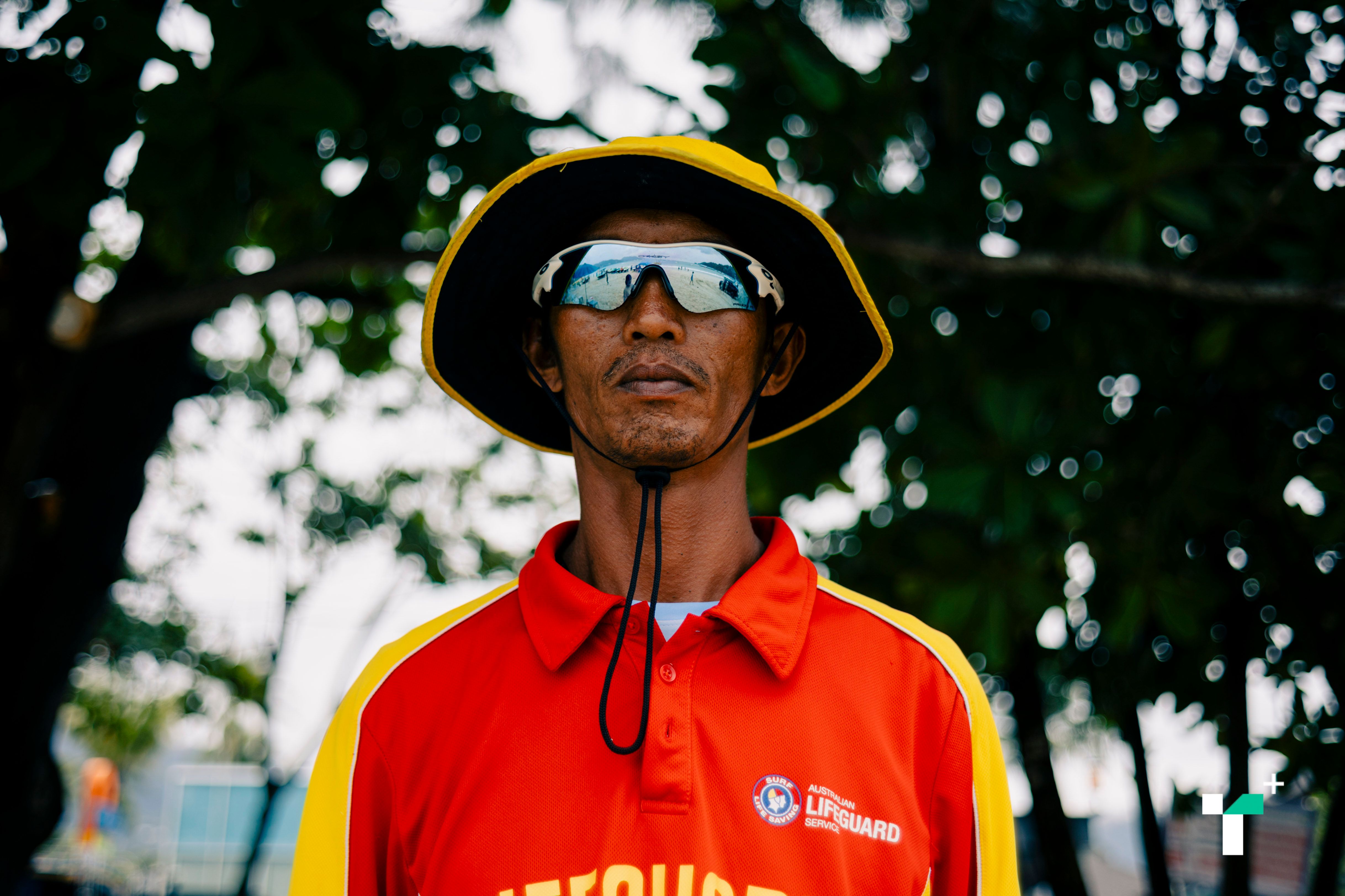
Conversely, Somyos Thongchompoonuch A 38-year-old lifeguard at Patong Beach and survivor, added that improved protection systems today make tourists less afraid of tsunamis.
Although key tourist sites have improved safety, Phakphum Vithantriwat Coordinator of the Andaman Foundation (SAN), said, “If another tsunami occurs, casualties might decrease but damage will be as severe because preparedness systems remain inadequate, especially at tourist sites. Facilities are not up to standard, and tourists lack information on what to do if a tsunami occurs at their accommodation.”
The Andaman Foundation works with coastal communities on quality of life, sustainable fisheries, fisherfolk rights, and marine and coastal conservation. After the tsunami, it contributed to development guidance.
Phakphum recalled that the foundation helped communities post-tsunami but stopped due to challenges and some issues exceeding its capacity, such as in Khao Lak, Phang Nga, which is the government’s responsibility.
“At that time, discussions included sustainable tourism on Phi Phi, resource conservation, traditional disaster preparedness, shoreline setbacks, building designs to withstand waves, evacuation routes, warnings, and volunteers. If all these are ready, living with disasters is feasible.”
“However, post-tsunami confusion arose over relocation proposals, banning residents near Phi Phi’s beaches to move uphill, or building large seawalls. Our mapping and community input helped develop preparedness and prevention plans, but government development agendas ignored these, resulting in status quo.”
Phakphum explained that despite government opposition, the foundation continued some community work, such as at Nam Khem village, Takuapa district, Phang Nga.
“I believe government agencies must lead, especially local administrations in tourist areas must engage actively, not remain passive.”
“Currently, for natural disasters like earthquakes and tsunamis, there is no preparedness or response plan. Khao Lak appears normal as if nothing happened 21 years ago. New tourists are not informed. Tourists familiar with tsunamis are few—mostly from Japan. Europeans might be unaware. Lack of knowledge was a major cause of deaths during the last tsunami.”
Phakphum believes the government should be the main educator for tourists, providing brochures or information at accommodations, explaining how warnings occur and required responses.
“Operators must also communicate these because they are closest to tourists. Upon check-in, tourists should be told—for example, if you’re snorkeling offshore during a tsunami, stay put; if sea level drops, evacuate to higher ground immediately, don’t run into the sea. During the last tsunami, many died rushing to see the underwater phenomenon.”
Finally, Phakphum emphasized, “We must prepare and integrate urban planning and building design for disasters, which currently are neglected. Local building permits ignore this as if tsunamis never happened. Communities also need organized preparedness and communication, which have declined.”
Urban planning issues extend beyond tsunami-prone Andaman coast areas; many Thai regions still lack plans to cope with other disasters, such as recent flooding in Hat Yai, Songkhla.
Assoc. Prof. Dr. Panit Phujinda President of the Thai Urban Planning Association and head of the Regional and Urban Planning Department, Faculty of Architecture, Chulalongkorn University, spoke at a King Prajadhipok Institute seminar on local flood issues. He said cities must be safe from natural disasters. In the past, frequent floods, earthquakes, and epidemics caused people to relocate. Hat Yai suffers frequent floods, but Songkhla city, an old town tested by nature, rarely experiences them.
The concept of designing disaster-resistant cities is long-standing. Leonardo da Vinci drafted Milan’s urban plan, where street width was standardized to 70 raccia (an old Italian unit, about 60 meters), with buildings no taller than 35 raccia due to construction technology. Frequent Italian earthquakes mean collapsed buildings don’t block entire streets, preserving access for rescue. This principle ensures cities facilitate evacuation and aid delivery after disasters.
Dr. Panit explained flood management involves two water types: floodwaters from upstream and local rainfall. Coastal cities also face tidal flooding. Managing urban floods requires a broader view. Hat Yai’s problem is poor drainage and excessive rainfall beyond the area’s capacity.
“Matter doesn’t disappear; water must have somewhere to go. For example, Ayutthaya is an island city never flooded because open canals lead water away to designated flood zones. Yet today, those flood zones have become industrial estates, housing developments, and malls—no space remains for floodwaters due to lack of urban planning.”
Dr. Panit noted that Bangkok faces similar issues: water from outside is diverted east to avoid the city, focusing only on urban rainfall. This design is incomplete and caused the 2011 floods dominated by upstream waters.
Hat Yai’s geography includes a central mountain range and small coastal plains. Rail lines descend to plains in Prachuap Khiri Khan and then Hat Yai, a transport hub and growing urban area. This low-lying basin requires water discharge routes.
However, the last land use control law was from 2000, expiring around 2005. Without regulations, buildings block waterways, causing problems.
Another issue is that infrastructure is built vertically and separately: roads by road authorities, water by water authorities, electricity by power authorities. But cities now require integrated horizontal planning to accommodate water flow. Road builders don’t handle pipes or surface water management.
“Urban planning must integrate all elements. Currently, roads, electricity, and development proceed separately, causing problems. Importantly, cities should have circular layouts with cross-city roads (emergency routes) running north-south and east-west. Key government offices, schools, district offices, and city halls are placed along these roads, which are last to flood and serve as final evacuation centers. But these have never been properly planned.” Dr. Panit concluded.
Disasters such as tsunamis, floods, and earthquakes continually prompt society to question disaster management, urban planning, and tourism economy.
Beyond preparation, evacuation routes, multilingual communication, and drills, a critical aspect is involving communities and local operators in disaster planning, as they know their areas best. Central government commands may be too slow, so localities have the capacity to manage emergencies effectively.
While the 21st anniversary of the tsunami recalls past lessons, future urban development and management remain crucial topics to address—not just to prevent disasters but to enable people to withstand impacts and maintain quality of life.
This work is part of the UNDP Media Fellowship on Sustainable Development, focusing on disaster preparedness, response, and recovery under the Tsunami Preparedness Project. The views expressed do not necessarily reflect those of UNDP.