Satellite data reveals the five river basins with the most flooding in 2025, drawing attention to the risk of repeated floods this year. A review of three years of statistics shows an increase in flooded areas and weaknesses in management.
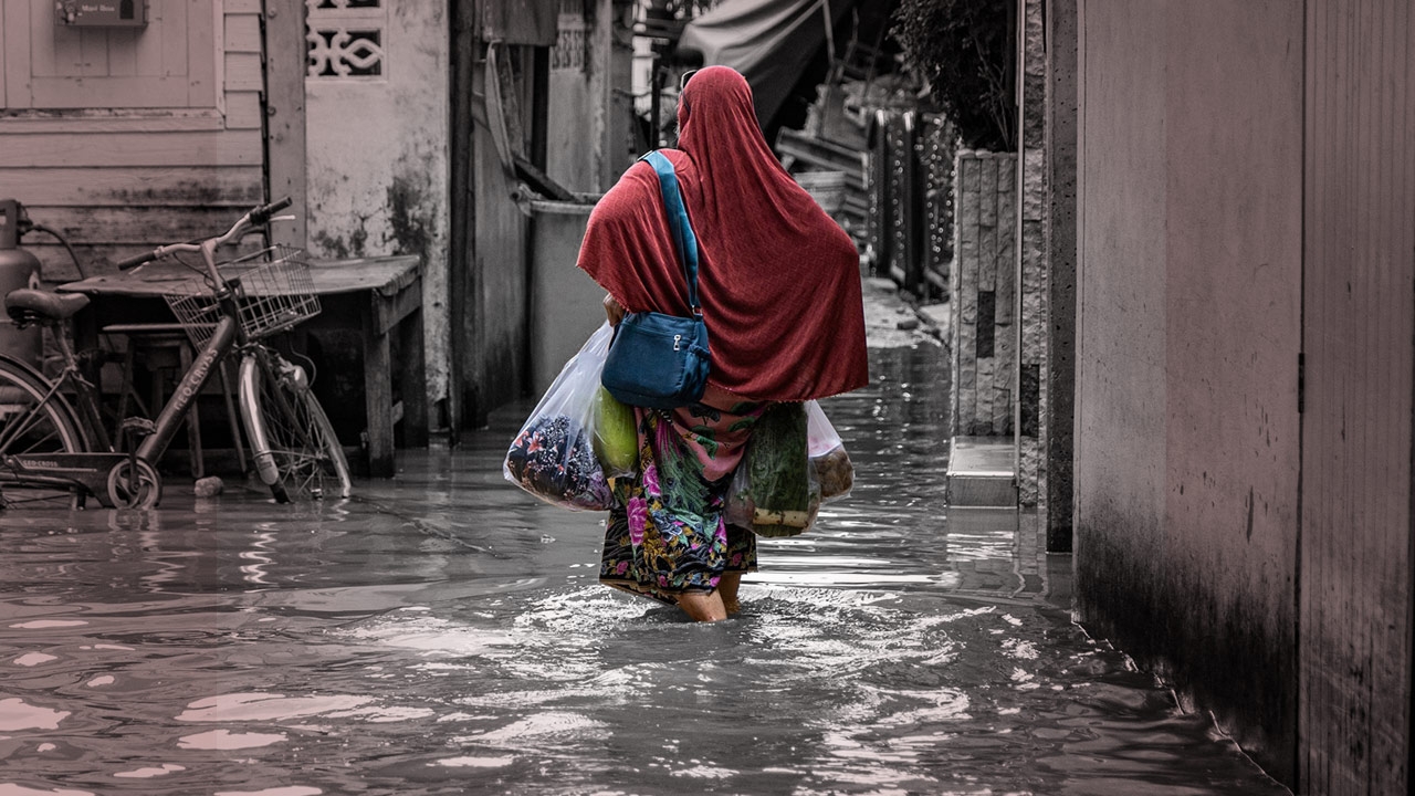
Thailand has been facing severe water management challenges during the rainy season over the past five years. Starting with the Chao Phraya basin, which was affected by upstream water flowing into Ayutthaya, while recently, Mae Sai district in Chiang Rai province has become another area suffering from continuous flooding. In 2025, Hat Yai was also heavily flooded, severely impacting its economic zones.

Dr. Pakorn Petchprayoon, Director of the Applied and Development of Geoinformatics Office, told the Thairath Online special news team about the 2025 flood situation, which will influence flooding in 2026. Satellite imagery data showed that in 2025, 9 million rai across the country were flooded, notably in the Chao Phraya basin where prolonged flooding caused repeated inundations in Ayutthaya. Normally, water would recede after 1 to 2 weeks, but some areas now experience flooding lasting 2 to 3 months.
In 2025, the flooded area was still less than in 2011, but some locations had higher water levels. However, increased floodwater volume does not necessarily mean more severe flooding; it results from certain river sections having higher embankments or dams, causing water to accumulate in unprotected areas at higher levels. From a management perspective, this controlled flooding is preferable to water spreading more widely.
Comparing rainfall and flooding in Thailand over the past three years shows increasingly severe conditions, with flooded areas nearly doubling from previous levels.

A summary of 2025 satellite data on flood areas is as follows:
1. Chao Phraya basin: 1,479,207 rai
2. Yom basin: 1,202,864 rai
3. Nan basin: 983,713 rai
4. Northeastern Mekong basin: 864,084 rai
5. Chi basin: 854,170 rai

Regarding flood prevention for 2026, Dr. Pakorn believes the approach must depend on factors specific to each area.
Each area has unique contexts; some may require flood protection structures, flood warning systems,

zoning and participatory land-use planning, ecological system maintenance, restoration of waterways and forests, and raising environmental conservation awareness. From the perspective of space technology and geoinformatics, these tools should be applied to support sustainable management, prevention, and problem-solving.
Additionally, urban development should include creating flood risk maps for all vulnerable communities and developing models for flood and climate forecasting.